Gonfreville-L'orcher (Gournay-En-Caux) Communal Cemetery
- Country France
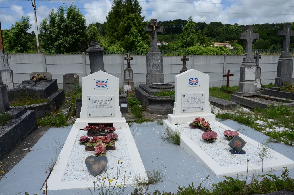
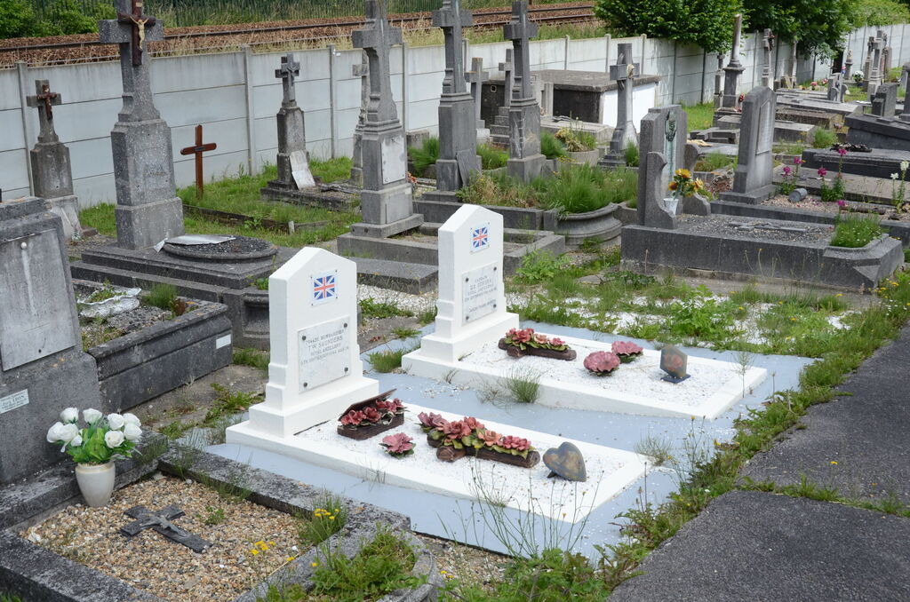
- Total identified casualties 2 Find these casualties
- Region Seine-Maritime
- Identified casualties from Second World War
- GPS Coordinates Latitude: 49.52227, Longitude: 0.22556

Location information
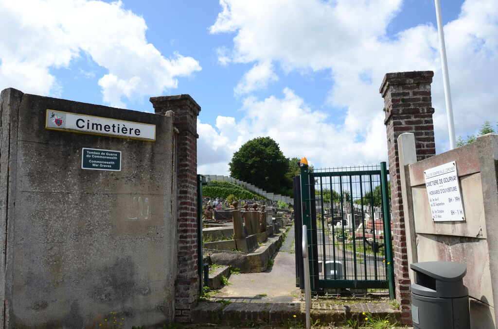
Gonfreville-L'Orcher is a scattered village in the commune of the same name. The main part of the village is 5 miles (8 kilometres) east of Le Havre, and about 0.75 mile (1 kilometre) south of Gainneville, a village on the Le Havre-Bolbec road (N.13 bis). There are three cemeteries in the commune. The one in which the British graves are situated lies at the hamlet of Gournay-en-Caux, which is approximately 0.75 mile (1 kilometre) north of the N.13 bis road, on the by-road from Harfleur to St. Romain-de-Colbosc (D.34) and about 14 miles (2 kilometres) east of Harfleur. The cemetery is immediately south of the railway, on the west side of a rough road leading south to Gainneville. This road leaves the D.34 road some 400 yards east of the Gournay-en-Caux Church. The 2 British graves are at the west end of cemetery, on the north side of the main path.