Varengeville-Sur-Mer Churchyard
- Country France
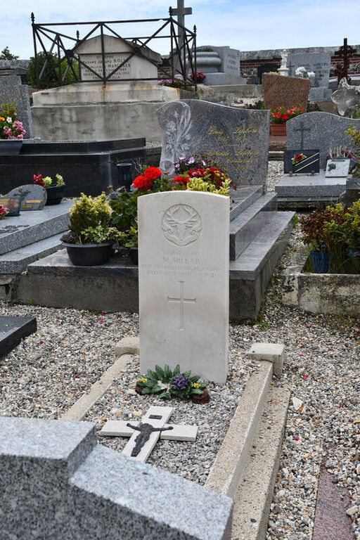
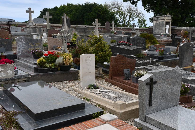
- Total identified casualties 1 Find these casualties
- Region Seine-Maritime
- Identified casualties from Second World War
- GPS Coordinates Latitude: 49.91646, Longitude: 0.98203
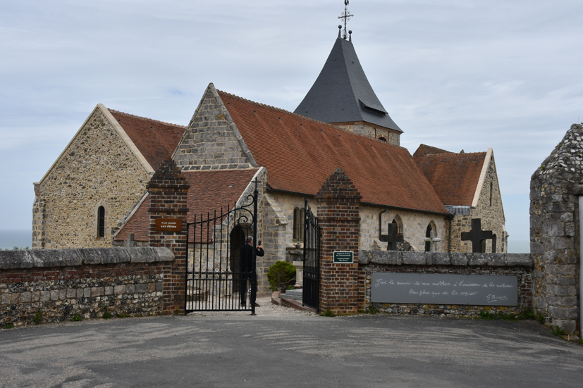
Location information
Varengeville-sur-Mer is a village and commune 5 kilometres west of Dieppe, on the D.75 coast road between Dieppe and St. Valery-en-Caux. The churchyard is near the coast, north-west of the village. The British grave is near the north-west corner of the church.