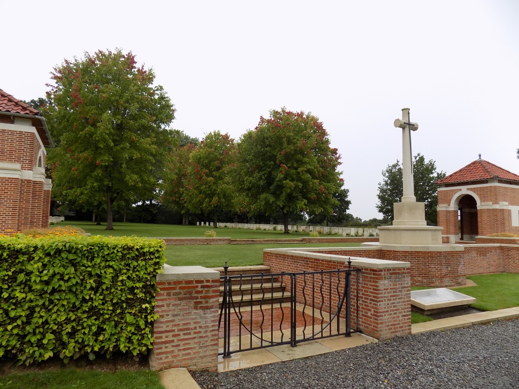
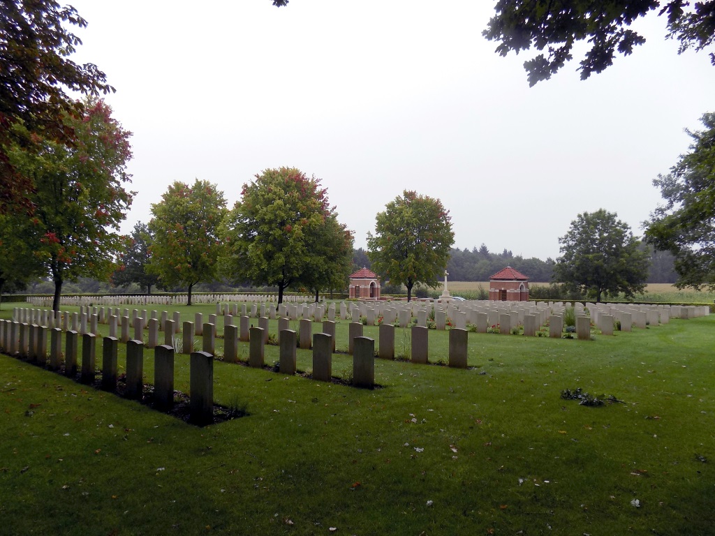
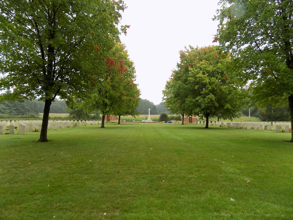
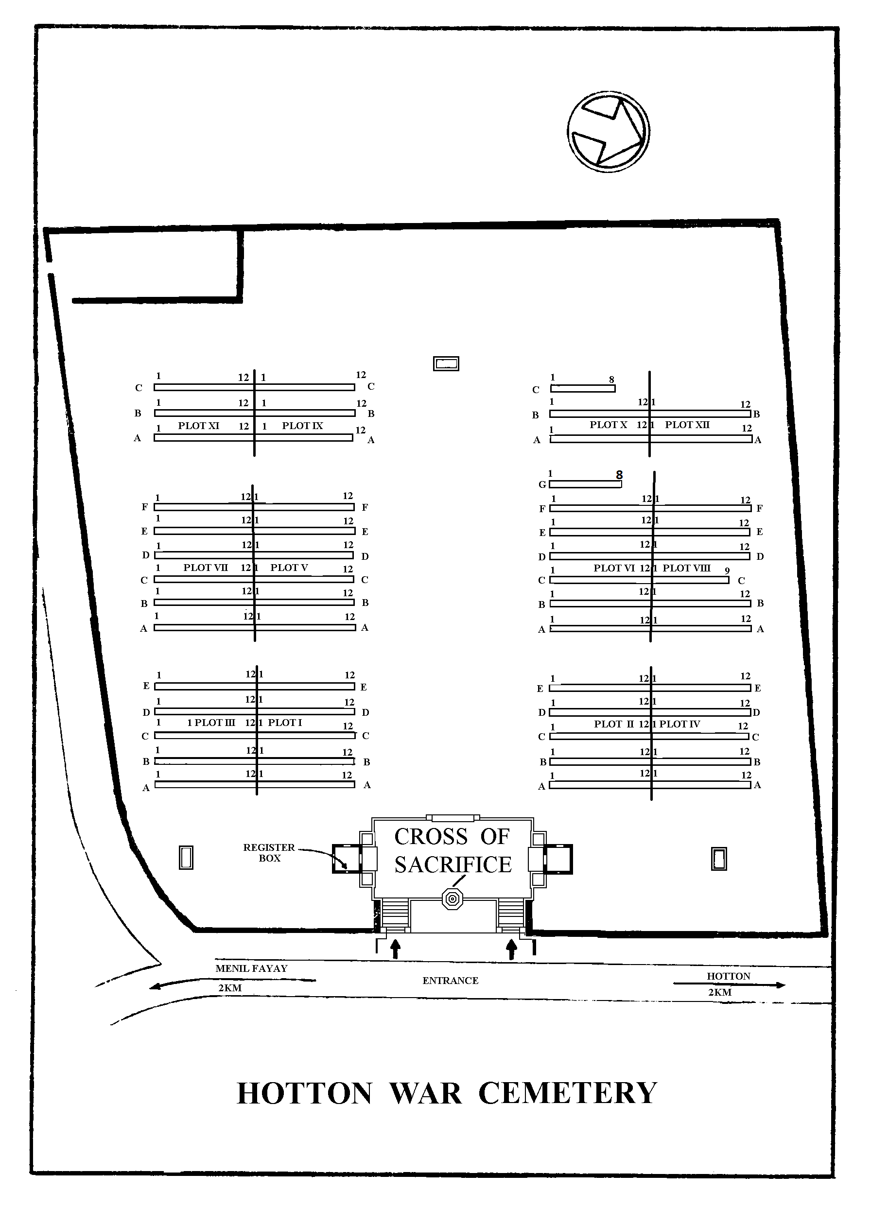
Hotton War Cemetery
- Country Belgium
- Total identified casualties 649 Find these casualties
- Region Luxembourg
- Identified casualties from Second World War
- GPS Coordinates Latitude: 50.26251, Longitude: 5.44717
Location information
Hotton is located south of Liege on the N86. On reaching Hotton follow the N86 towards Menil along the Rue de la Liberation. The Cemetery is along that road on the right. GPS Co-ordinates: Longitude 05°26'49", Latitude 50°15'44"
Visiting information
Wheelchair access to site possible, but may be by an alternative entrance. For further information regarding wheelchair access, please contact our Enquiries Section on 01628 507200.
History information
The British Expeditionary Force was involved in the later stages of the defence of Belgium following the German invasion in May 1940, and suffered many casualties in covering the withdrawal to Dunkirk. Commonwealth forces did not return until September 1944, but in the intervening years, many airmen were shot down or crashed in raids on strategic objectives in Belgium, or while returning from missions over Germany. The village of Hotton was the western limit of the great German counter offensive in the Ardennes in January 1945. A great many of the burials in Hotton War Cemetery date from that time, although there are also some from May 1940. The cemetery contains 666 Commonwealth burials of the Second World War, 21 of them unidentified.