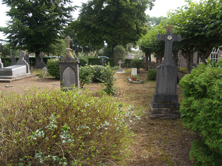
Empel-En-Meerwijk (Oud Empel) Roman Catholic Churchyard
- Country Netherlands
- Total identified casualties 1 Find these casualties
- Region Noord-Brabant
- Identified casualties from Second World War
- GPS Coordinates Latitude: 51.73621, Longitude: 5.30462

Location information
Empel and Meerwijk are adjoining villages under one administration. Empel is 6 kilometres north of 'S-Hertogenbosch on the south side of the River Maas.
History information
The church, which stood in the centre of the village, was completely destroyed during the 1939-1945 war, and the churchyard is in the old section of the village, 1.75 miles to the north-west of the new. There is a single 1939-1945 war casualty commemorated in this site.