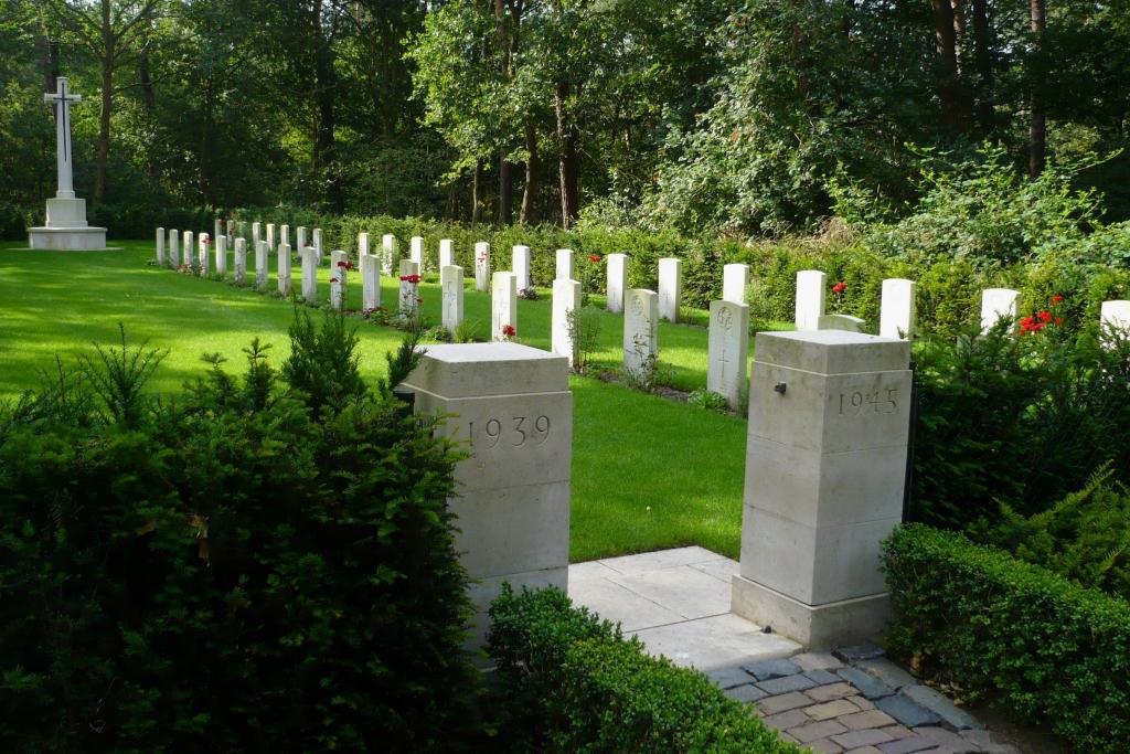
Maarheeze (Sterksel Monastery) Cemetery
- Country Netherlands
- Total identified casualties 42 Find these casualties
- Region Noord-Brabant
- Identified casualties from Second World War
- GPS Coordinates Latitude: 51.3568, Longitude: 5.62231
Location information
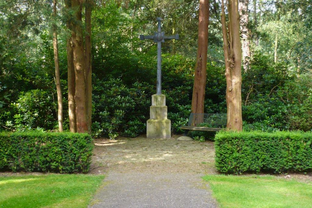
The small village of Sterksel lies in the south of the Netherlands approx 17kms south east of Eindhoven From the A67 Eindhoven to Venlo motorway take exit 34 (Afrit 34) GELDROP / HEEZE and follow the signs for HEEZE. Continue for approx 3.7kms (passing through the village of Heeze), turn left at the roundabout and follow direction SOMEREN. Continue for approx 700m and turn right direction STERKSEL onto the STERKSELSEWEG. Continue for approx 2.5kms, during which the road name changes to HEEZERWEG, and turn left (CWGC sign) onto ALBERTLAAN. Continue for approx 1.5kms and turn right (CWGC sign) into the car park area of the Kempenhaeghe / Providentia Residential Hospital. The cemetery can be found, in a wooded location, at the rear of the monastery along the path from the tennis court. The cemetery address is:- Albertlaan/Ten Bakeweg 6029 Sterksel Netherlands GPS Location is:- N 51 21 43 E 05 37 33
Visiting information
Parking on site is available. Visitors can walk from the Monastery to the cemetery itself. Disabled access to the cemetery entrance is possible by driving through the Hospital site. Wheelchair access to the cemetery is possible via main entrance.
For further information regarding wheelchair access, please contact our Enquiries Section on enquiries@cwgc.org or 01628 507200.
History information
The cemetery is within the grounds of the Monastery, which was used as a hospital by the British Army from September 18th, 1944, for about a year.