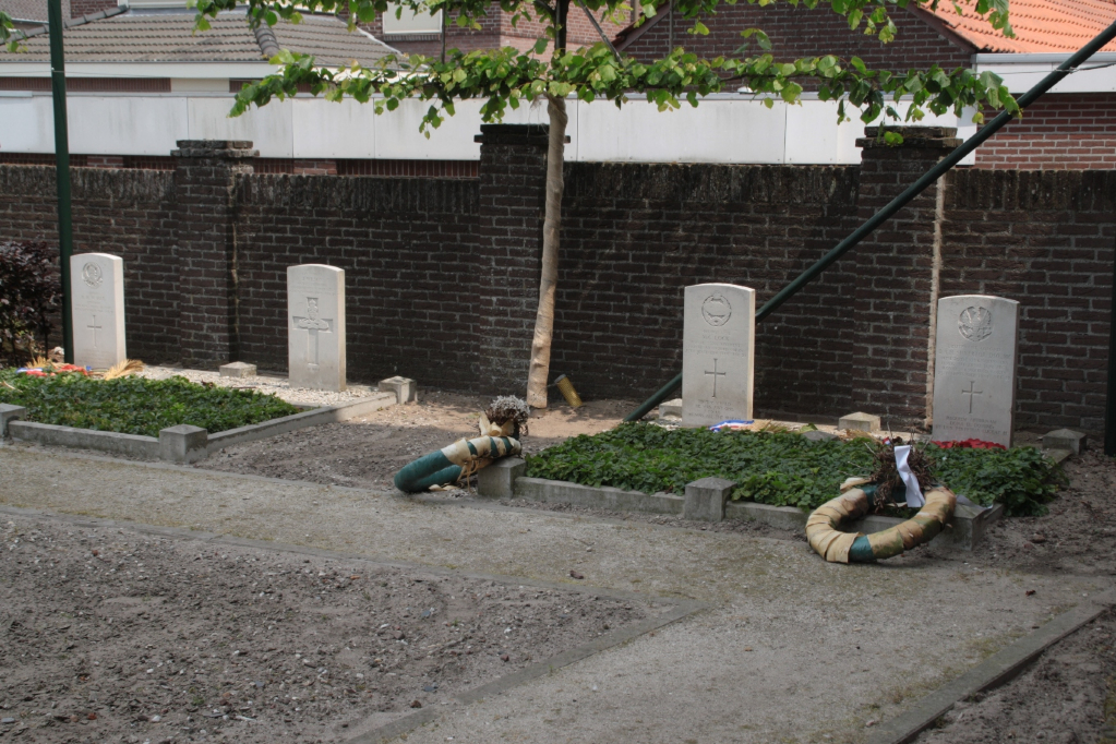
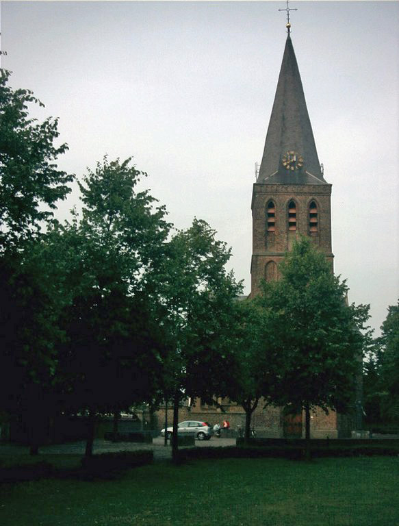
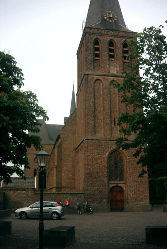
Oploo (St. Anthonis) Roman Catholic Churchyard
- Country Netherlands
- Total identified casualties 4 Find these casualties
- Region Noord-Brabant
- Identified casualties from Second World War
- GPS Coordinates Latitude: 51.62663, Longitude: 5.88241
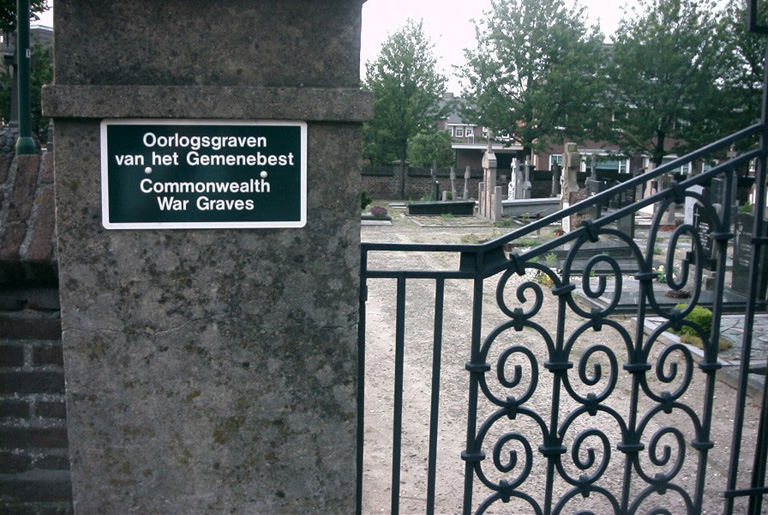
Location information
This cemetery is in the village and municipality of St. Anthonis and is on the main Oploo-Boxmeer road. It is 4 kilometres north of Oploo, and 6 kilometres south-west of Boxmeer. The churchyard is in the centre of the village.
History information
There are now a small number of 1939-1945 War casualties commemorated in this site.