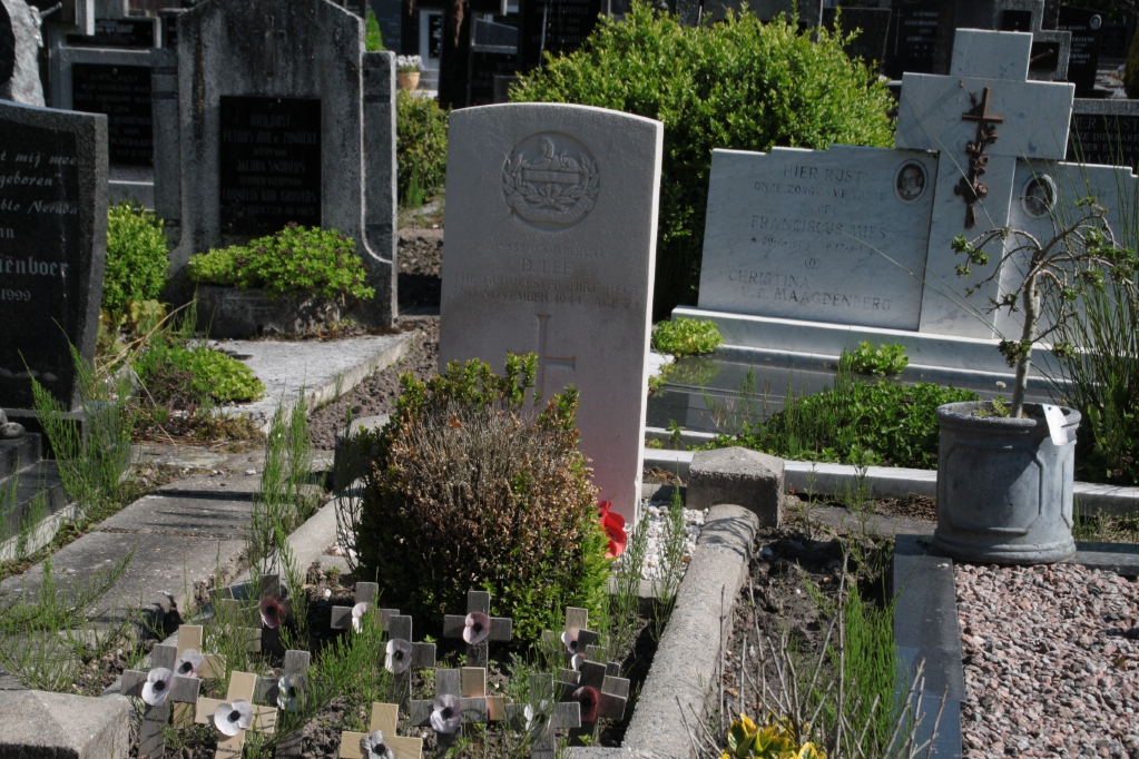
Oud-En-Nieuw-Gastel (Stampersgat) Roman Catholic Cemetery
- Country Netherlands
- Total identified casualties 1 Find these casualties
- Region Noord-Brabant
- Identified casualties from Second World War
- GPS Coordinates Latitude: 51.61336, Longitude: 4.44487
Location information
Stampersgat is a village approximately 4 kilometres north of Oud Gastel, and 13.5 kilometres north of Roosendaal. The cemetery is at the rear of the church, at the entrance to the village on the road from Oud Gastel.
History information
There is one 1939-1945 War casualty commemorated in this site.