Udenhout Roman Catholic Churchyard
- Country Netherlands
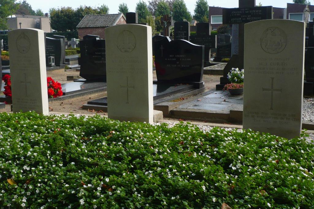
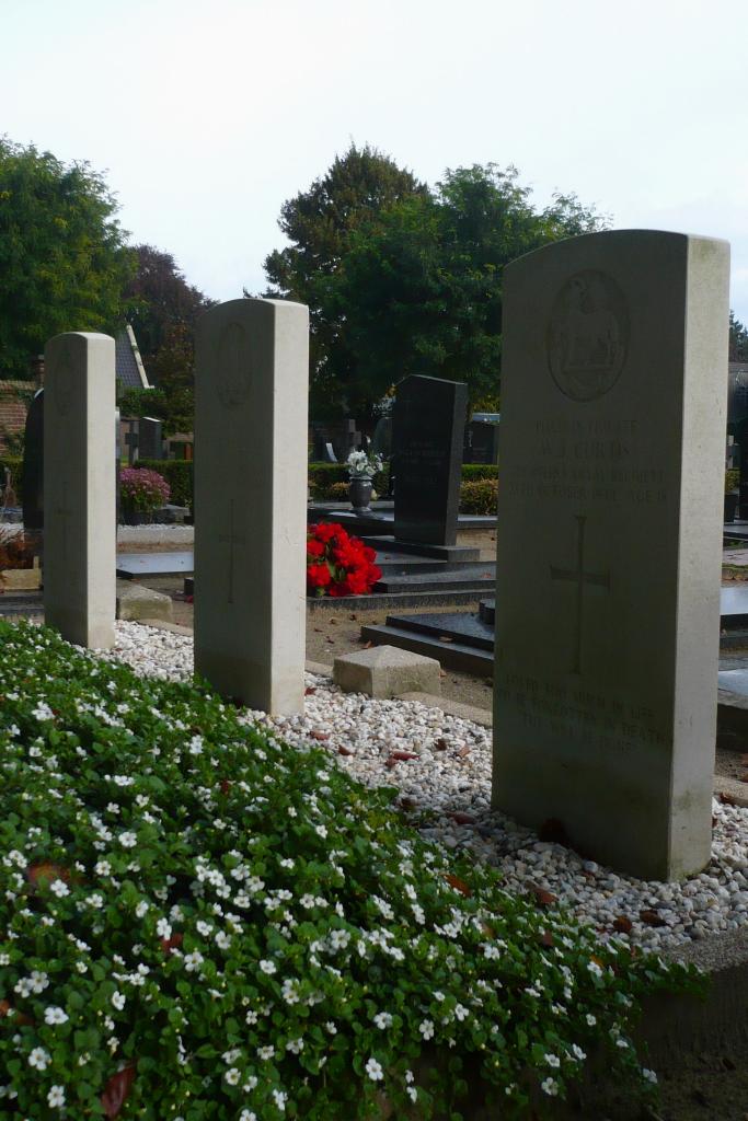
- Total identified casualties 3 Find these casualties
- Region Noord-Brabant
- Identified casualties from Second World War
- GPS Coordinates Latitude: 51.61061, Longitude: 5.1411
Location information
Udenhout is a village about 8 kilometres north-east of Tilburg, lying 3 kilometres north-west of the main road from that town to 'S-Hertogenbosch. The churchyard surrounds the church, which is in the centre of Udenhout. The 3 British graves are in the south-eastern part.
History information
Udenhout is a village 5 miles north-east of Tilburg, lying 2 miles north-west of the main road from that town to 'S-Hertogenbosch. The nearest railway station is at Tilburg, whence there is a regular bus service to Udenhout. There is one hotel in the village, and there are others at Tilburg. The churchyard surrounds the church, which is in the centre of Udenhout. The 3 British graves are in the south-eastern part.