Veghel (Eerde) Roman Catholic Churchyard
- Country Netherlands
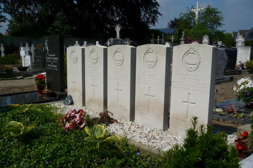
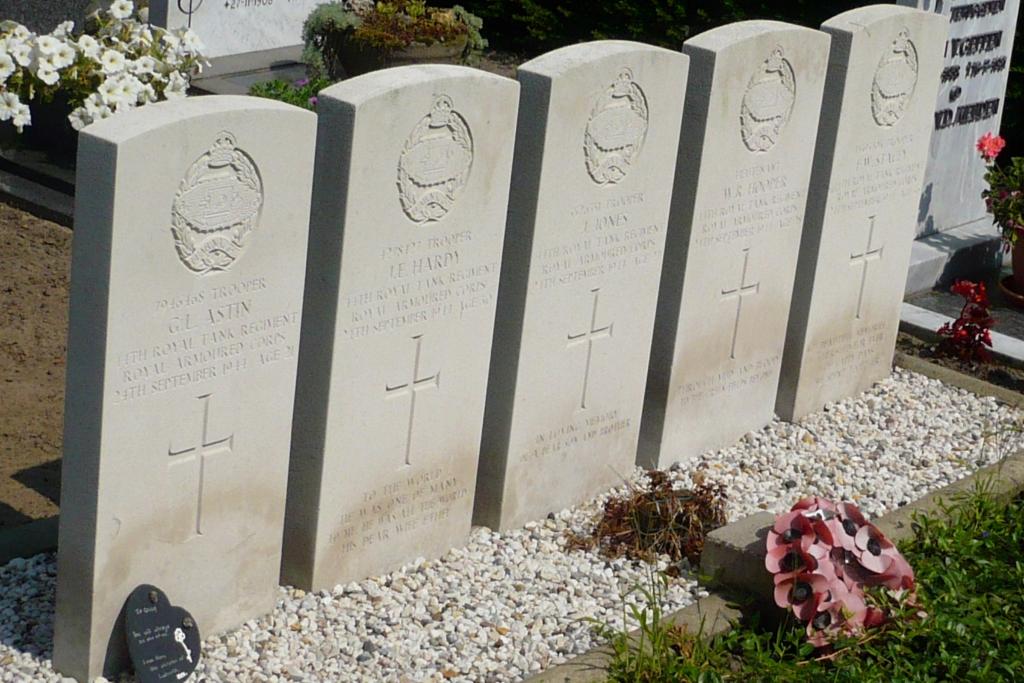
- Total identified casualties 5 Find these casualties
- Region Noord-Brabant
- Identified casualties from Second World War
- GPS Coordinates Latitude: 51.60518, Longitude: 5.49784
Location information
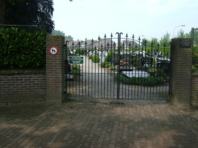
Eerde is a small village in the commune of Veghel, 3 kilometres west of the village of Veghel and 16 kilometres south-east of 'S-Hertogenbosch. The churchyard is in the centre of the village in the Esdonkstraat. The Commonwealth war graves will be found in the north-east part of the churchyard.
History information
Eerde is a small village under the commune of Veghel 2 miles west of the village of Veghel. The nearest railway station is at 'S-Hertogenbosch, whence there is an hourly bus service to Veghel and Eerde. Accommodation is available at Veghel. The churchyard is in the centre of the village. In the north-east part are the graves of S soldiers from the United Kingdom.