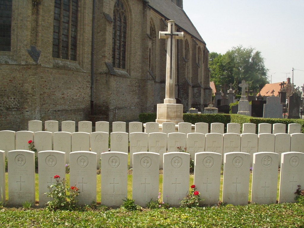
West Cappel Churchyard
- Country France
- Total identified casualties 38 Find these casualties
- Region Nord
- Identified casualties from Second World War
- GPS Coordinates Latitude: 50.92767, Longitude: 2.50915
PLEASE NOTE
Due to ongoing horticultural work, plants are missing in front of the headstones at the moment.
The replanting of the borders is planned for this autumn, in October 2022.
We apologise for the inconvenience.

Location information
West Cappel is a village 16 kilometres south-east of Dunkirk and some 6 kilometres north-east of Wormhoudt. In the churchyard, near the north-eastern corner of the church, is the Commonwealth plot containing the graves of soldiers from the United Kingdom.
History information
There are now nearly 70, 1939-45 war casualties commemorated in this site. Of these, over 30 are unidentified and 12 whose graves could not be precisely located are commemorated by special memorials inscribed "Buried near this spot".