Lier Belgian Military Cemetery
- Country Belgium
- Total identified casualties 41 Find these casualties
- Region Antwerpen
- Identified casualties from Second World War
- GPS Coordinates Latitude: 51.12384, Longitude: 4.54894

Location information
The cemetery is located to the south of the town off the R16 ring road. Take the E313 which runs between Antwerpen and Lier. Turn off at junction 19 Massenhoven, onto the N14 following signs for Lier. At the junction with the ring road R16, turn right onto this and follow round to the junction with N14 again which goes to Mechelen. Turn right here onto the Mechelsesteenweg and the cemetery is along here on the left just past the church at the junction with Rode Kruislaan. The Commonwealth war graves are located amongst the Belgian graves.
History information
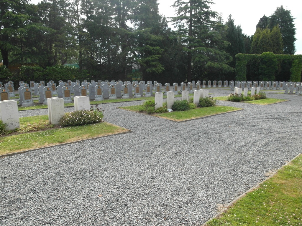
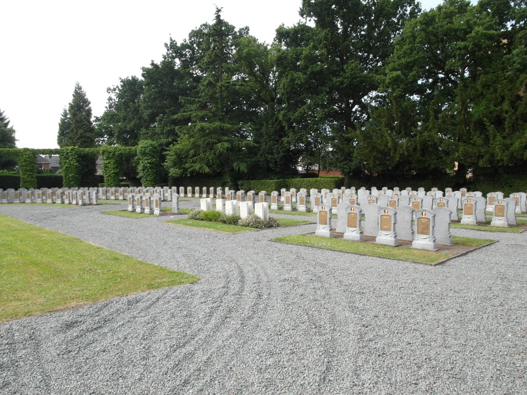
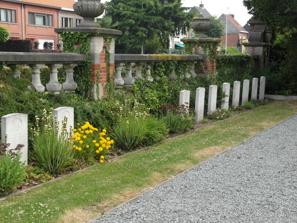
The British Expeditionary Force was involved in the later stages of the defence of Belgium following the German invasion in May 1940, and suffered many casualties in covering the withdrawal to Dunkirk. Commonwealth forces did not return until September 1944, but in the intervening years, many airmen were shot down or crashed in raids on strategic objectives in Belgium, or while returning from missions over Germany. Burials were made in Lier Belgian Military Cemetery from a military hospital set up in a school at Lier after the liberation of the town on 4 September 1944; the wounded brought to that hospital included casualties from the fighting around Arnhem in the Netherlands. The cemetery contains 41 Commonwealth burials of the Second World War. There are also 420 Belgian graves of the First World War.