Mol (Achterbos) New Communal Cemetery
- Country Belgium
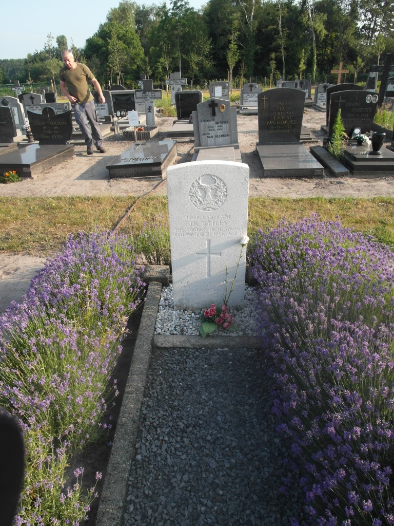
- Total identified casualties 1 Find these casualties
- Region Antwerpen
- Identified casualties from Second World War
- GPS Coordinates Latitude: 51.2017, Longitude: 5.09466
Location information
The town of Mol is located south-east of the town of Turnhout on the N18, Which runs between Mol and Leopoldsburg. From Turnhout take the N18 direction Mol, drive through Desel and over the canal and come to the village of Donk. Continue straight through the village and take the first main road on the right signed Achterbos; this road is called Achterbos. After the fith turning on the right, called Groot-Kapellen, the cemetery is signposted right. The grave is located through the main entrance at the rear of the cemetery to the left of the crucifix.
History information
The British Expeditionary Force was involved in the later stages of the defence of Belgium following the German invasion in May 1940, and suffered many casualties in covering the withdrawal to Dunkirk. Commonwealth forces did not return until September 1944, but in the intervening years, many airmen were shot down or crashed in raids on strategic objectives in Belgium, or while returning from missions over Germany. Mol (Achterbosh) New Communal Cemetery contains one Commonwealth burial of the Second World War.