Hoogeveen (Hollandscheveld) General Cemetery
- Country Netherlands
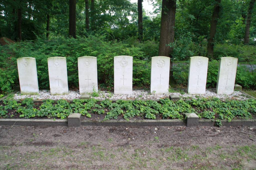
- Total identified casualties 9 Find these casualties
- Region Drenthe
- Identified casualties from Second World War
- GPS Coordinates Latitude: 52.7081, Longitude: 6.54706


Location information
Hoogeveen is 36 kilometres south of Assen and 6 kilometres south-east of tbe secondary road from Meppel via Beilen to Assen. The hamlet of Hollandscheveld lies 4 kilometres south-east of Hoogeveen. The cemetery is in the centre of a wood 700 metres east of the Protestant church and the graves are in the southern half, west of the main path.