Couterne (Lignou) Churchyard
- Country France
- Total identified casualties 1 Find these casualties
- Region Orne
- Identified casualties from Second World War
- GPS Coordinates Latitude: 48.52363, Longitude: -0.404454
Location information
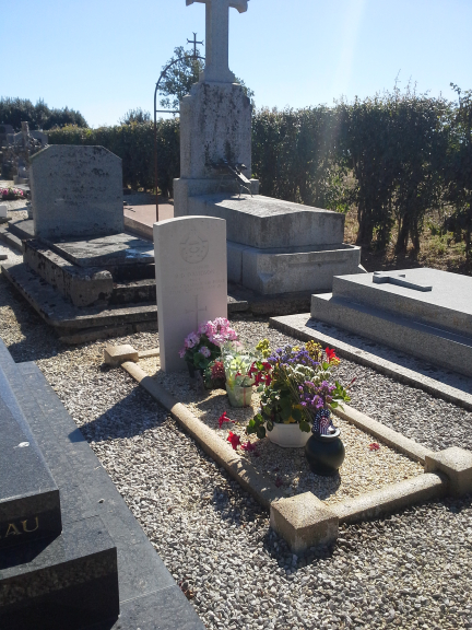
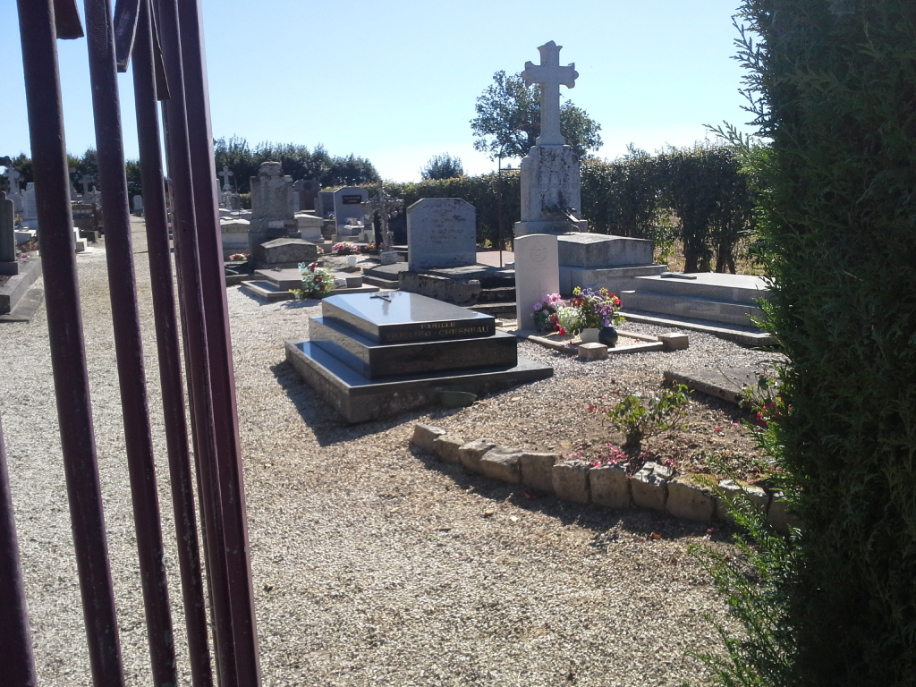
Couterne is a village and commune 20 kilometres west-north-west of Alencon, on the main route to Domfront. The village is on the D.176/D.976 road between Pre-en-Pail, some 12 miles (20 kilometres) to the south-east, and Domfront about the same distance to the north-west. Lignou is a hamlet 2 kilometres north-east of Couterne. There is 1 Commonwealth burial of the 1939-1945 war here in the churchyard of Notre-Dame de Lignou, near the south western corner and entrance.