Dendermonde Communal Cemetery And Extension
- Country Belgium
- Total identified casualties 17 Find these casualties
- Region Oost-Vlaanderen
- Identified casualties from First & Second World War
- GPS Coordinates Latitude: 51.02734, Longitude: 4.07084
Location information
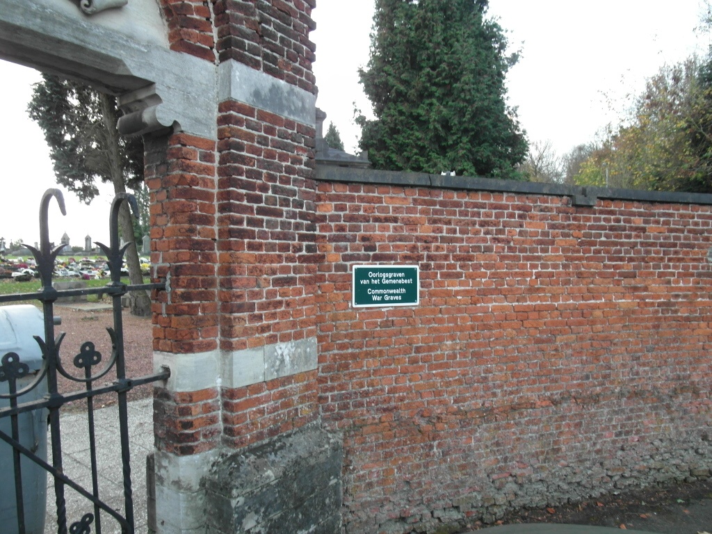
The town of Dendermonde is located south of the city of Sint-Niklaas on the N47. From the motorway E17, which runs between Kortrijk and Antwerpen, turn off at junction 12 onto the N47, direction Zele. Follow the N47 to the junction with the N470 and follow the N47/N470, crossing the river to the junction with the N17. At the junction tiurn right onto the N416 Noordlaan. Follow the road to the junction with the N406 where you turn left into Oudegemsebaan. After a short distance turn left into kerkhofweg and the cemetery will be directly in front.
History information
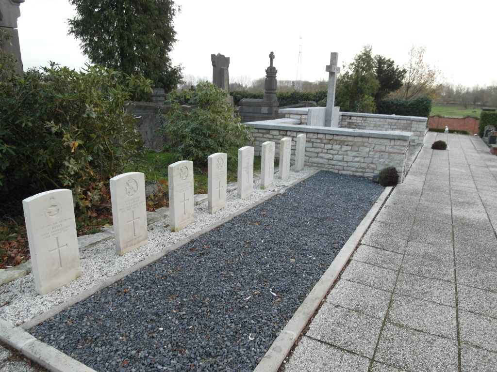
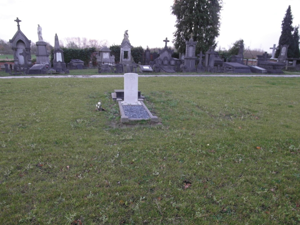
The British Expeditionary Force was involved in the later stages of the defence of Belgium following the German invasion in May 1940, and suffered many casualties in covering the withdrawal to Dunkirk. DENDERMONDE COMMUNAL CEMETERY contains the grave of one Commonwealth airman of the Second World War. The adjoining COMMUNAL CEMETERY EXTENSION was made by the Germans during the First World War but the graves were regrouped into distinct Belgian German and Commonwealth plots by the Belgian Graves Service after the Armistice. The extension contains the graves of 16 Commonwealth casualties of the First World War (one of them unidentified), who died while prisoners of war.