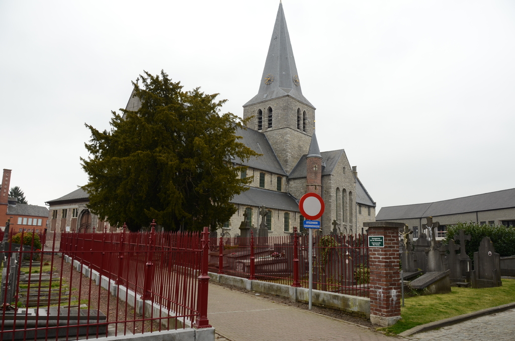
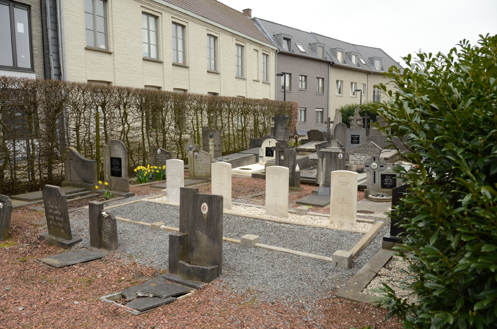
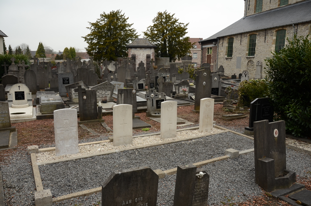
Eine Churchyard
- Country Belgium
- Total identified casualties 2 Find these casualties
- Region Oost-Vlaanderen
- Identified casualties from First & Second World War
- GPS Coordinates Latitude: 50.86832, Longitude: 3.62127
Location information
The village of Eine is located north-east of the town of Oudenaarde on the N60. From the motorway E40/A10, which runs between Oostende and Brussels, turn off at junction 15 onto the N60, direction Oudenaarde. Follow this road to Heurne and take the left fork to Eine along Graaf Van Landastraat. Follow this road to the T junction and turn right into Nestor De Tierestraat. Then take the second turning left into St Elooistraat and the church is at the end of this street. The graves are located to the right of the church.
History information
The British Expeditionary Force was involved in the later stages of the defence of Belgium following the German invasion in May 1940, and suffered many casualties in covering the withdrawal to Dunkirk. Commonwealth forces did not return until September 1944, but in the intervening years, many airmen were shot down or crashed in raids on strategic objectives in Belgium, or while returning from missions over Germany. Eine Churchyard contains three Commonwealth burials of the Second World War, two of which are unidentified. There is also one burial of the First World War.