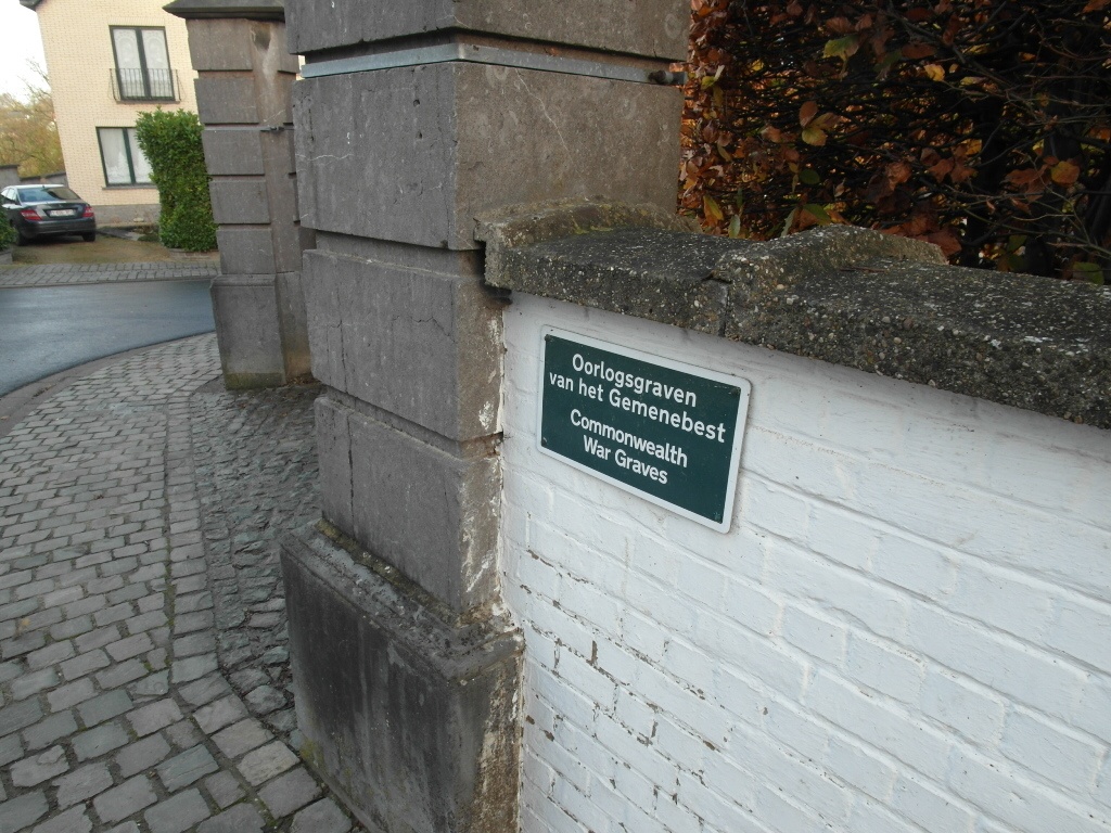
St. Kornelis-Horebeke Churchyard
- Country Belgium
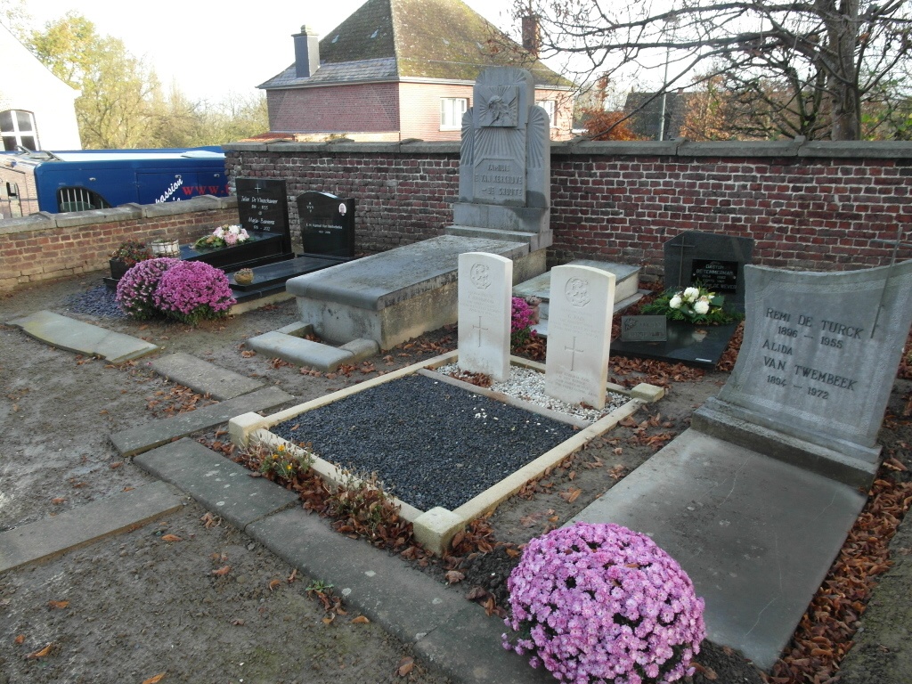
- Total identified casualties 2 Find these casualties
- Region Oost-Vlaanderen
- Identified casualties from Second World War
- GPS Coordinates Latitude: 50.83505, Longitude: 3.69705
Location information
The village of Sint-Kornelis Horebeke is located east of the town of Oudenaarde off the N8. From the motorway E40/A10, which runs between Oostende and Brussels, turn off at junction 15 onto the N60, direction Oudenaarde. Follow the N60 to Oudenaarde and the junction with the N8, turn left onto the N8, direction Brakel. Follow the N8 past the second junction with the N454 then take the first turning left along Bovenstraat to St-Kornelis. At the crossroads in the village turn left into St.-Kornelisplein and the church is on the right. The graves are located to the rear of the church.
History information
The British Expeditionary Force was involved in the later stages of the defence of Belgium following the German invasion in May 1940, and suffered many casualties in covering the withdrawal to Dunkirk. St. Kornelis-Horbeke Churchyard contains two Commonwealth burials of the Second World War.