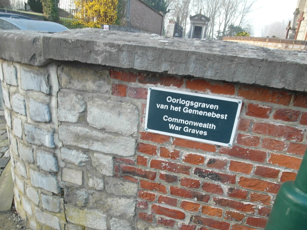
O.-L.-V.-Lombeek Churchyard
- Country Belgium
- Total identified casualties 2 Find these casualties
- Region Vlaams-Brabant
- Identified casualties from Second World War
- GPS Coordinates Latitude: 50.82228, Longitude: 4.11458
Location information
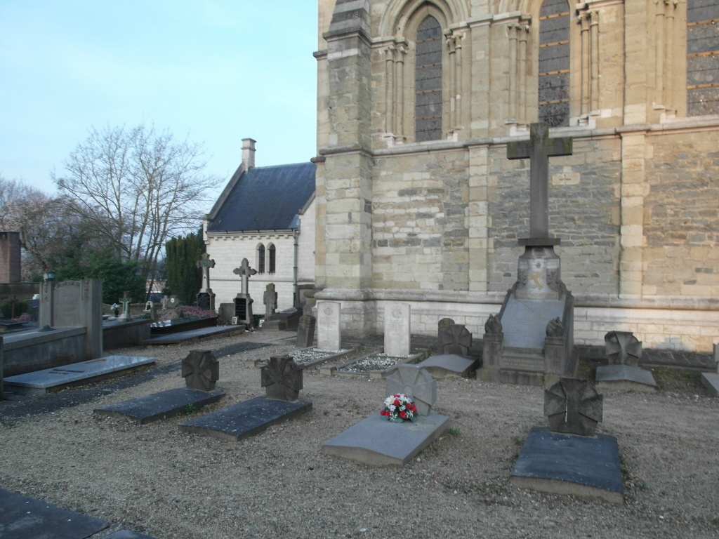
The village of O.L.V. (Onze-Lieve-Vrouw) Lombeek is situated to the south of Ninove. From the motorway E40 turn off at junction 20 Ternat and turn onto the N265 direction Ninove-Lennik, follow this road to the junction with the N8 and carry straight on to the next junction. Turn right here and follow the road into O.L.V. Lombeek. The church is in the centre of the village and the cemetery is next door. The graves are located to the left of the church.
History information
The British Expeditionary Force was involved in the later stages of the defence of Belgium following the German invasion in May 1940, and suffered many casualties in covering the withdrawal to Dunkirk.
O-L-V-Lombeek Churchyard contains two Commonwealth burials of the Second World War.