St. Amandsberg Communal Cemetery
- Country Belgium
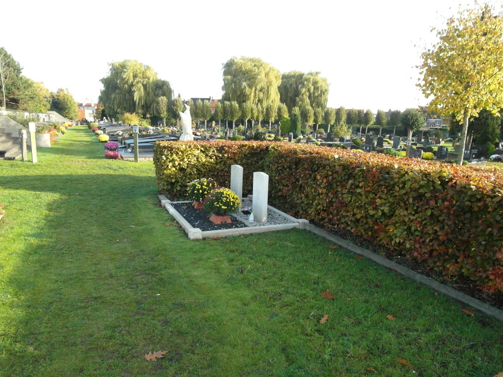
- Total identified casualties 2 Find these casualties
- Region Oost-Vlaanderen
- Identified casualties from Second World War
- GPS Coordinates Latitude: 51.06448, Longitude: 3.75037

Location information
The community of St-Amandsberg is located east of the city of Gent off the N70. From the motorway E17, which runs between Kortrijk and Antwerp, turn off at junction 11 onto the ring R4, direction Zelzate. Follow this road to the junction with the N445 and turn onto the N445, direction Gent. Follow this road to the first large crossroads just before the sportshall and turn right into Adolf Baeyensstraat. Follow this road over the crossroads to the T junction and turn right into Antwerpsesteenweg, past the church on the left and turn first left into Verkortingstraat. The entrance nearest the CWGC plot is the second entrance along here.
History information
The British Expeditionary Force was involved in the later stages of the defence of Belgium following the German invasion in May 1940, and suffered many casualties in covering the withdrawal to Dunkirk. St. Amandsberg Communal Cemetery contains two Commonwealth burials of the Second World War.