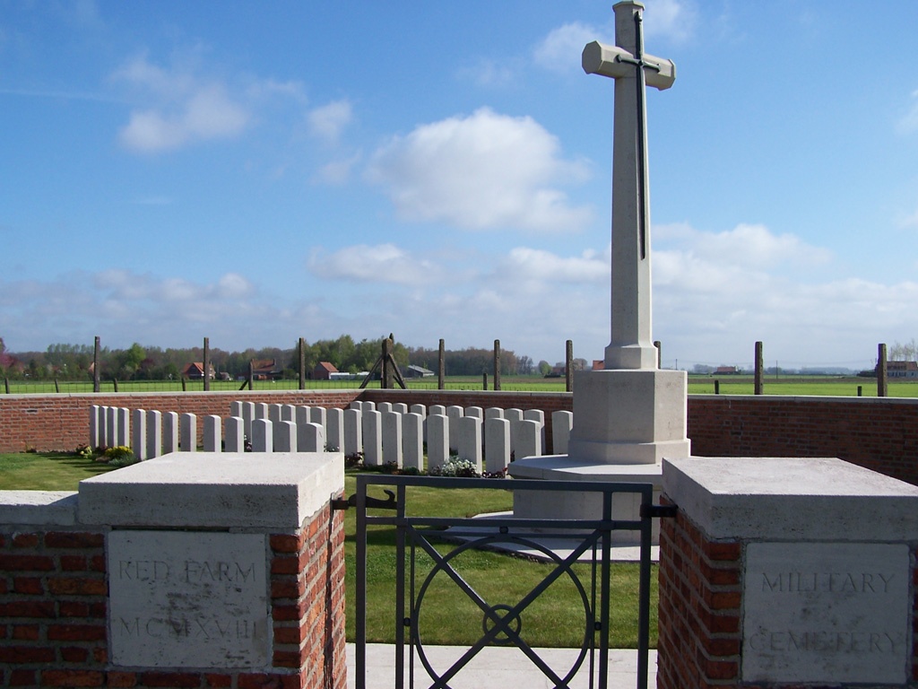
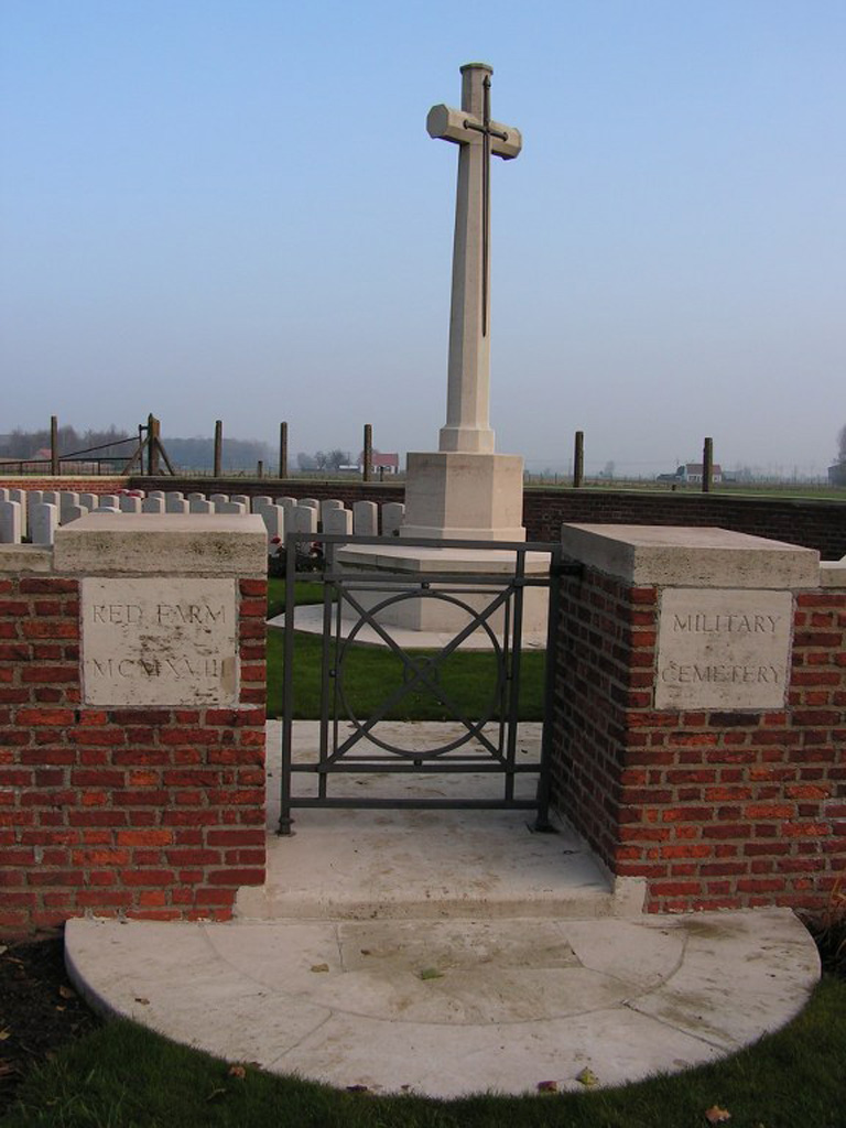
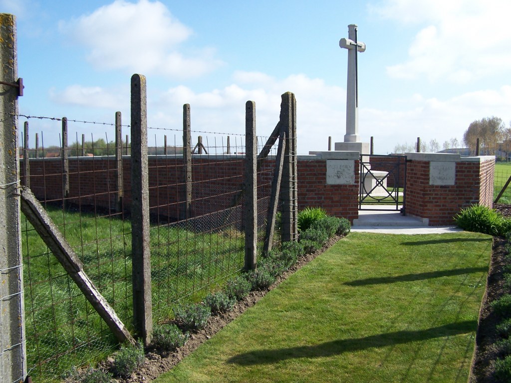
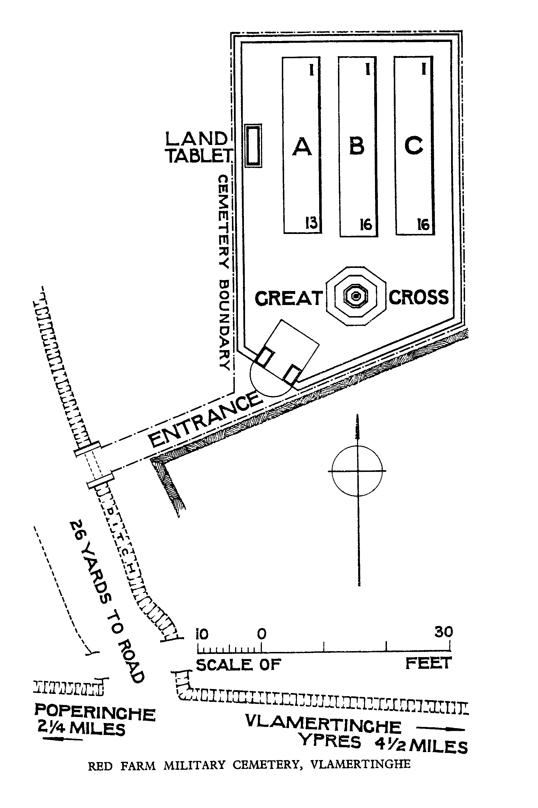
Red Farm Military Cemetery
- Country Belgium
- Total identified casualties 29 Find these casualties
- Region West-Vlaanderen
- Identified casualties from First World War
- GPS Coordinates Latitude: 50.85481, Longitude: 2.78041
Location information
Red Farm Military Cemetery is located 7.5 kilometres west of Ieper town centre, on the Poperingseweg N308 connecting Ieper to Poperinge. From Ieper town centre the Poperingseweg (N308), is reached via Elverdingsestraat then directly over two small roundabouts in the J.Capronstraat. The Poperingseweg is a continuation of the J.Capronstraat and begins after a prominent railway level crossing. The cemetery itself lies 7 kilometres along the N308 Poperingseweg on the right hand side of the road, after passing through the village of Vlamertinge and Brandhoek.
Visiting information
Wheelchair access to this cemetery possible via main entrance. For further information regarding wheelchair access, please contact our Enquiries Section on telephone number 01628 507200.
History information
For much of the First World War, Vlamertinghe (now Vlamertinge) was just outside the normal range of German shell fire and the village was used both by artillery units and field ambulances. During the Battle of the Lys in April 1918, a new cemetery was established near the "Red Farm", which was used during April and May. Red Farm Military Cemetery contains 46 burials of the First World War, 17 of them unidentified. The cemetery was designed by A J S Hutton.