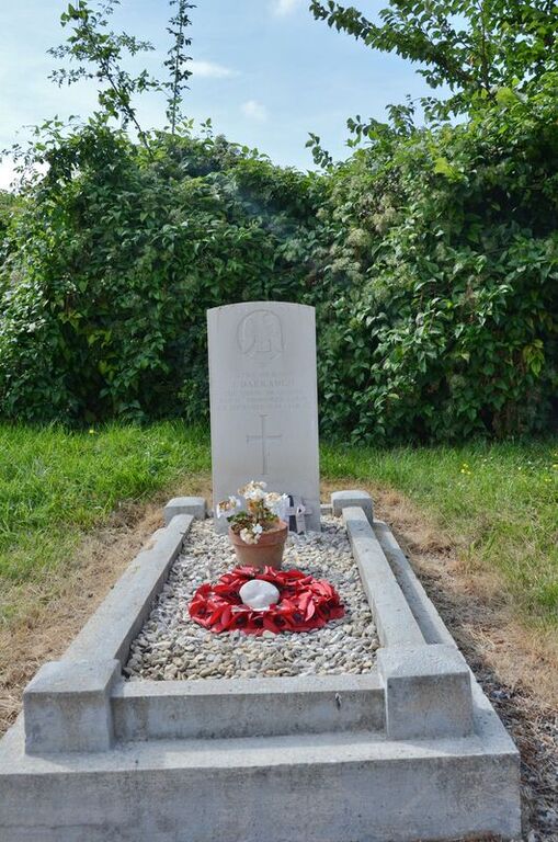
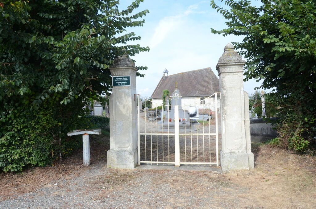
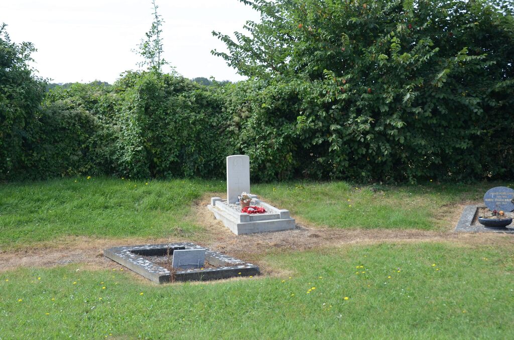
Bovelles Communal Cemetery
- Country France
- Total identified casualties 1 Find these casualties
- Region Somme
- Identified casualties from Second World War
- GPS Coordinates Latitude: 49.89023, Longitude: 2.13445
Location information
Bovelles is a village and commune some 11 kilometres west of Amiens and about 1 kilometre south of the D.211 road from that town to Molliens-Vidane. The communal cemetery is at the northern edge of the village, in the by-road leading from the D.211 road. The British grave is near the middle of the western boundary, about 23 metres from the north-western corner of the chapel.