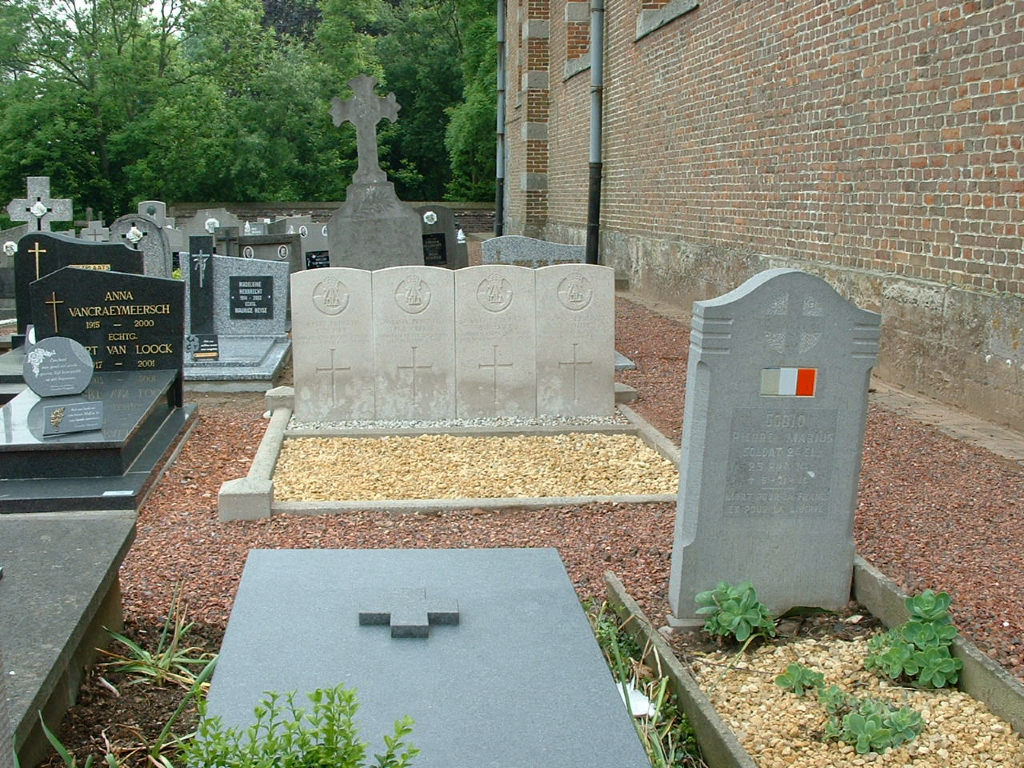
Elsegem Churchyard
- Country Belgium
- Total identified casualties 4 Find these casualties
- Region Oost-Vlaanderen
- Identified casualties from First World War
- GPS Coordinates Latitude: 50.82396, Longitude: 3.53677
Location information
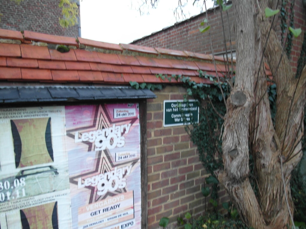
Elsegem Churchyard is located 45 km east of Ieper town centre and 21 km east of Kortrijk on the N8 connecting Ieper to Kortrijk and on to Elsegem churchyard. The N8 is a continuous road running from Ieper to Elsegem via Menen, Wevelgem, Kortrijk, Zwevegem, Avelgem, Waarmaarde and finally onto Elsegem. On reaching Waarmaarde the road number changes to the N453. The village is approached via the Kortrijkstraat N453. On reaching the village the churchyard is located after the left hand turning onto Elsegemplein. The churchyard lies 200 meters after this left hand turning on the right hand side of the road and immediately next to the church. From the main entrance take the path to the left then immediately turn right along the path that is alongside the wall of the church. The graves are on the left of the path approximately 7 meters from the front of the church.
Visiting information
Wheelchair access possible via main entrance.
For further information regarding wheelchair access, please contact our Enquiries Department on telephone number: 01628 634221
History information
Elsegem Churchyard contains four Commonwealth burials of the First World War.