Scheldewindeke Churchyard
- Country Belgium
- Total identified casualties 1 Find these casualties
- Region Oost-Vlaanderen
- Identified casualties from First World War
- GPS Coordinates Latitude: 50.93779, Longitude: 3.78477
Location information
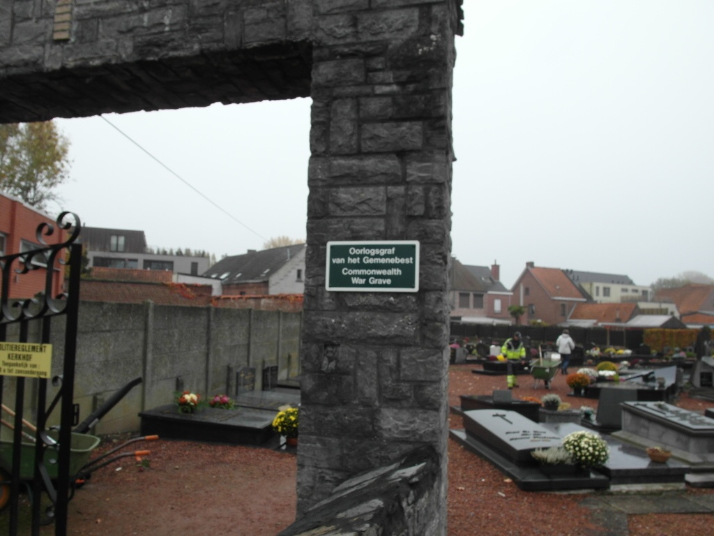
The village of Scheledewindeke is located south-east of the town of Gent off the N42. From the motorway E40/A10, which runs between Oostende and Brussels, turn off at junction 17 onto the N42, direction Geraardsbergen. Follow the N42 to the village of Oosterzele and turn right at the first crossroads along Groenweg. Follow this road to the T junction and turn right into Dorp. Then turn first left onto the N415 to Scheldewindeke. At the crossroads in the village go straight over then turn first left into Marktwegel, the church is at the end of this street. The graves are located to the left of the church close to the North boundary wall. The best access is from the market square through the gate in the North wall. After entering the gate turn right and the war grave can be seen.
History information
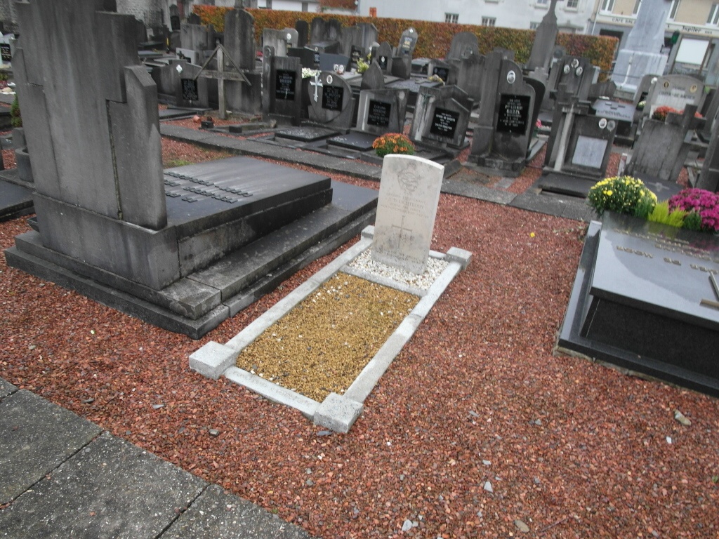
Scheldewindeke Churchyard contains the grave of one Commonwealth airman of the First World War.