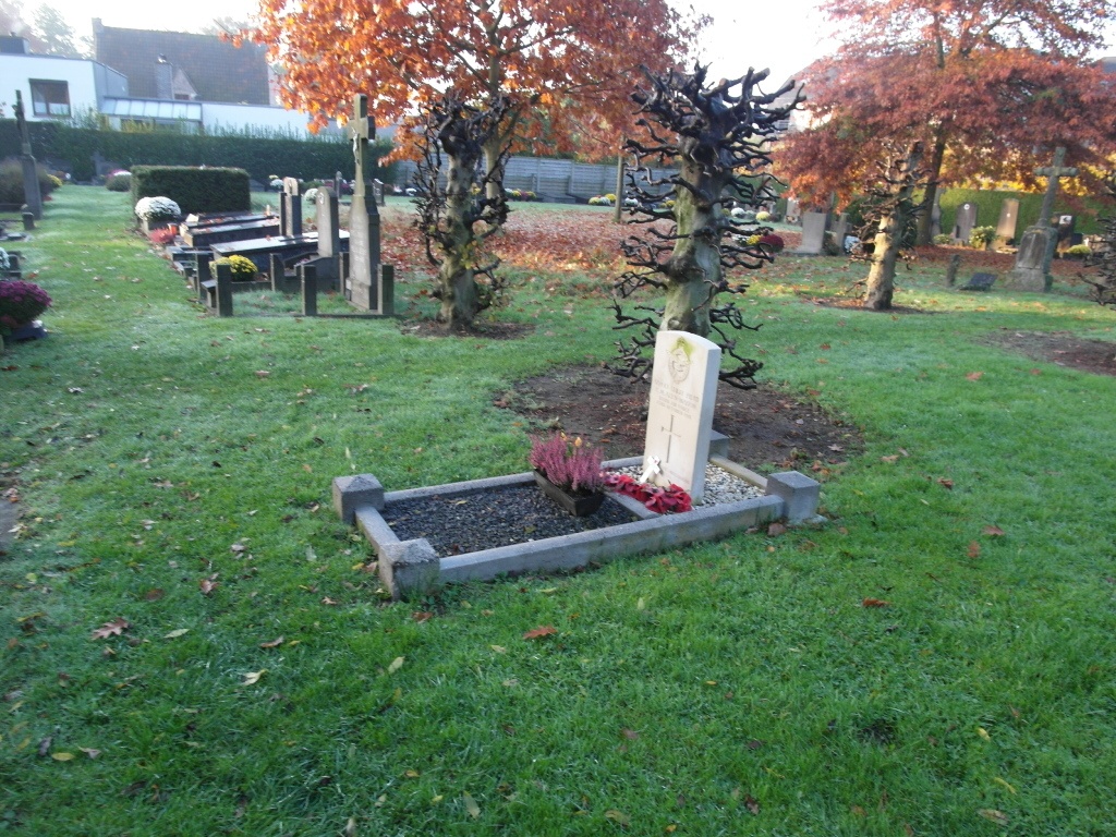
Baarle Churchyard
- Country Belgium
- Total identified casualties 1 Find these casualties
- Region Oost-Vlaanderen
- Identified casualties from First World War
- GPS Coordinates Latitude: 51.03716, Longitude: 3.6197
Location information
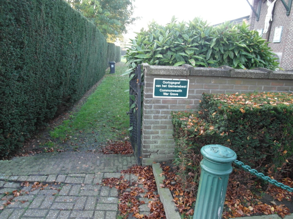
The village of Baarle is located south-west of the City of Gent on the N466. From the motorway E40/A10, which runs between Oostende and Brussels, turn off at junction 13 onto the N466 direction Deinze. At the top of the slip road turn right and the church is a short way along on the right. The graves are located to the rear of the church.
History information
Baarle Churchyard contains one Commonwealth burial of the First World War.