Weert (Molenpoort) Roman Catholic Cemetery
- Country Netherlands
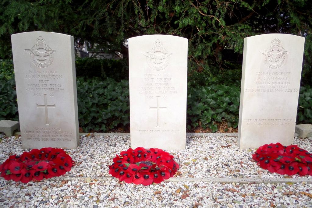
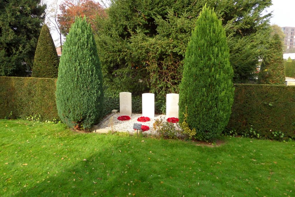
- Total identified casualties 3 Find these casualties
- Region Limburg (Netherlands)
- Identified casualties from Second World War
- GPS Coordinates Latitude: 51.25443, Longitude: 5.70167
Location information
Weert is a town on the main road from Roermond to Eindhoven, 16 kilometres west-north-west of Roermond. The Molenpoort cemetery is on the west side of the town, west of the main road to Eindhoven and 300 metres south of the bridge over the Zuidwillemsvaart canal. Cross the canal and turn into Molenpoort, and the cemetery is along here on the left. The Commonwealth war graves are located to the front left hand side of the cemetery.
History information
Weert is a town on the main road from Roermond to Eindhoven, 10 miles west-north-west of Roermond. The Molenpoort cemetery is on the west side of the town, 150 yards west of the main road to Eindhoven and 250 yards south of the bridge over the Zuidwillemsvaart canal. In a prominent position near the entrance to the cemetery are the graves of 3 British airmen.