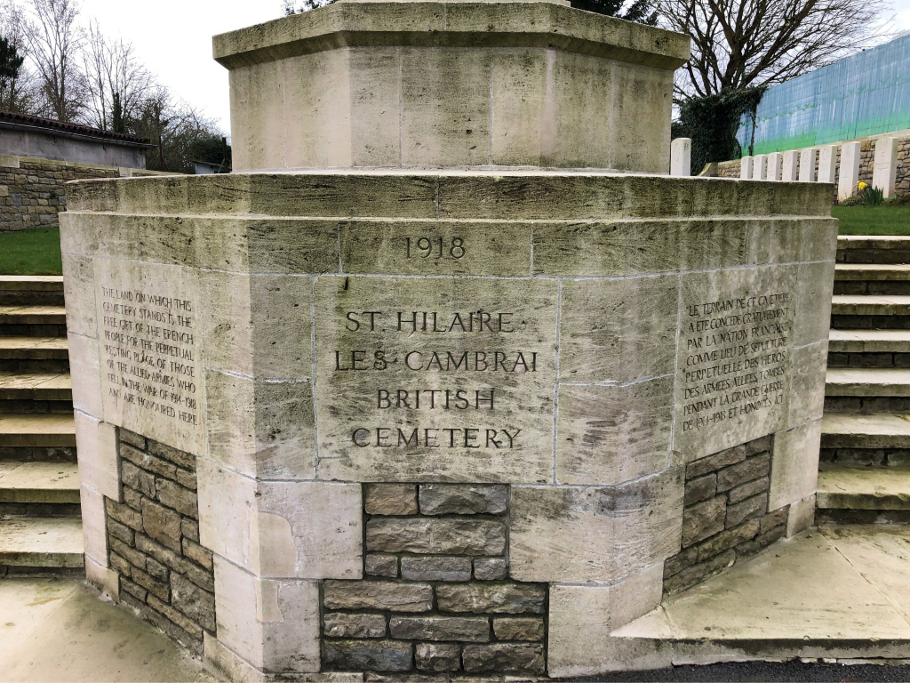
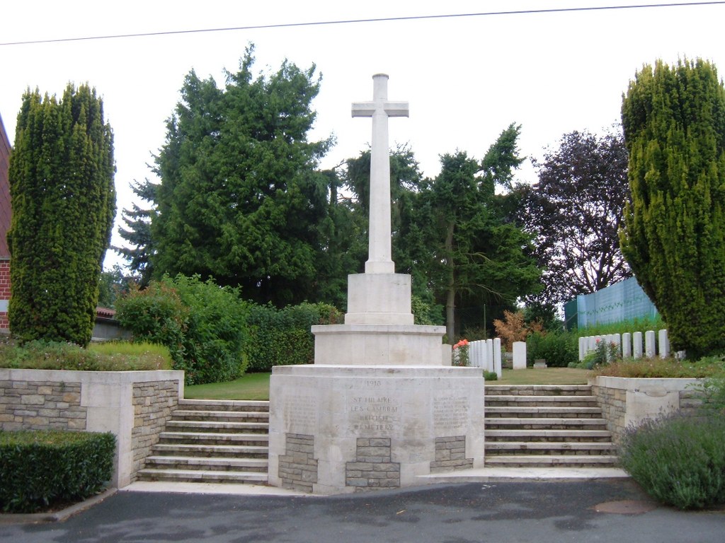
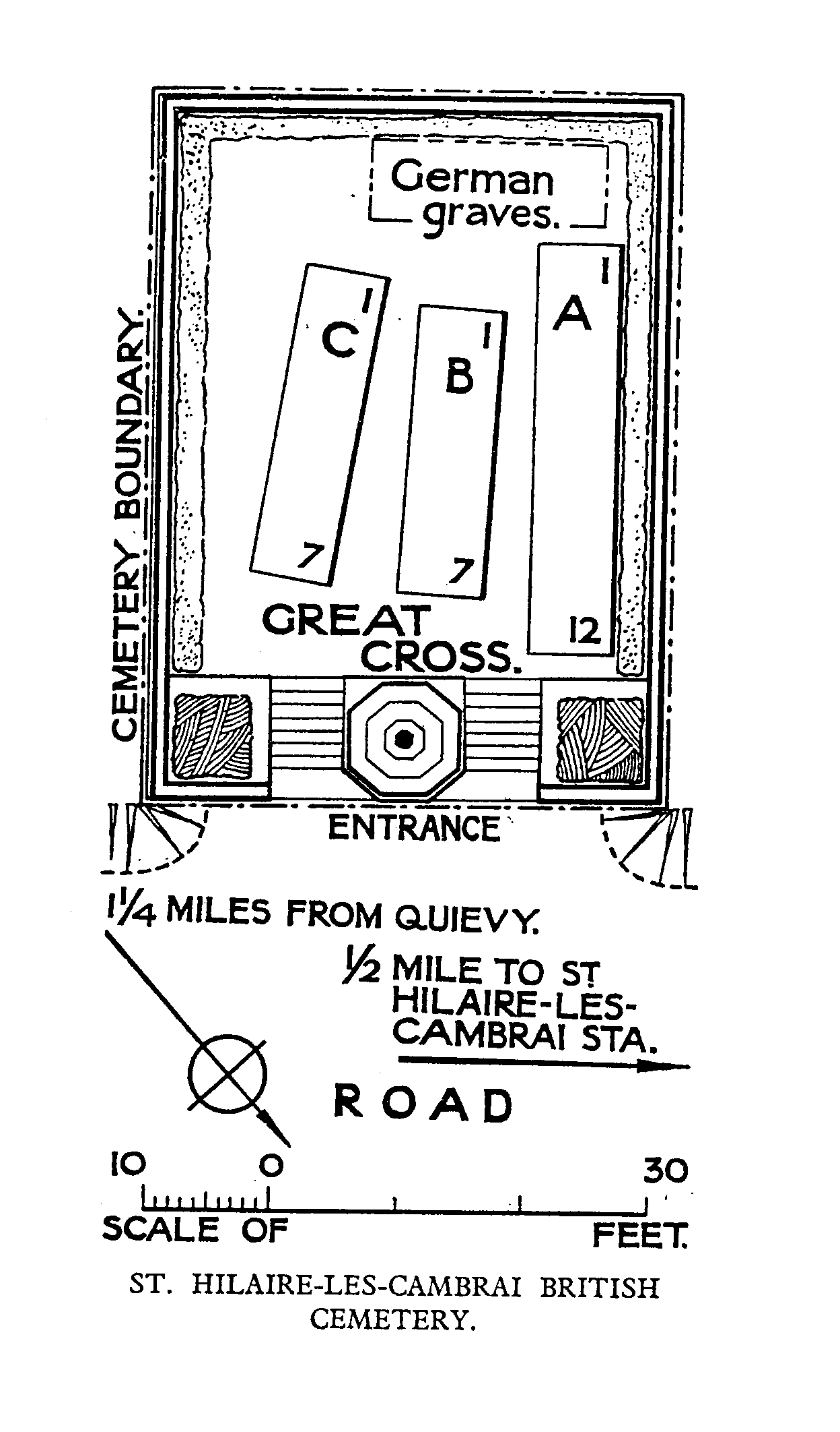
St. Hilaire Les Cambrai British Cemetery
- Country France
- Total identified casualties 38 Find these casualties
- Region Nord
- Identified casualties from First World War
- GPS Coordinates Latitude: 50.18113, Longitude: 3.41497
Location information
St Hilaire is a village in the Department of the Nord, approximately 12 kilometres east of the town of Cambrai. From Cambrai follow the D942 road towards Solesmes. About 12 kilometres from Cambrai and just after Avesnes les Aubert, turn right onto the D134B towards St Hilaire. After approximately 1 kilometre turn right onto the D134 towards Quievy. Continue for about 600 metres and then turn left towards Quievy. After about 300 metres turn right onto the D45 towards Quievy. The British Cemetery is 150 metres down this road on the right.
Visiting information
The location or design of this site makes wheelchair access very difficult. For further information regarding wheelchair access, please contact our Enquiries Section on enquiries@cwgc.org or 01628 507200.
History information
St. Hilaire-les-Cambrai Cemetery was made by the Guards Division late in October 1918, after the capture of the village.
The cemetery contains 31 Commonwealth and ten German burials of the First World War.