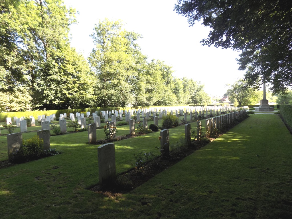
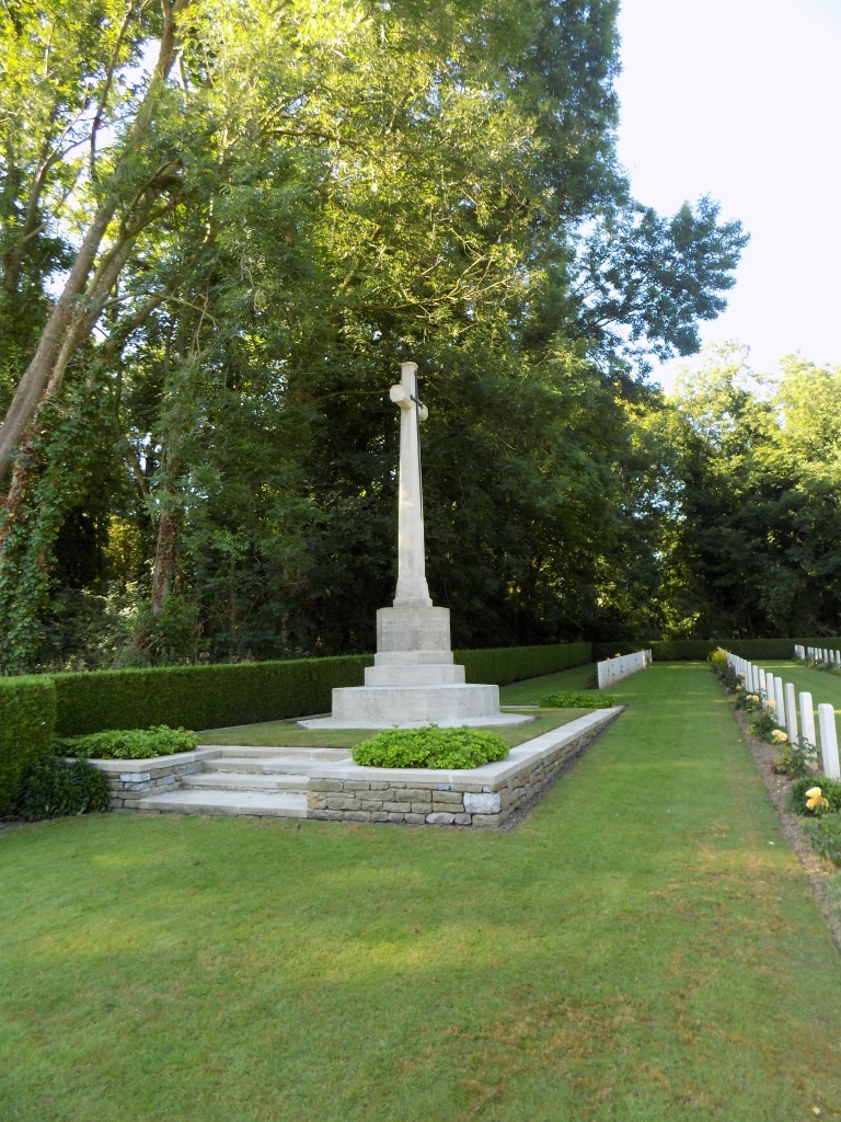
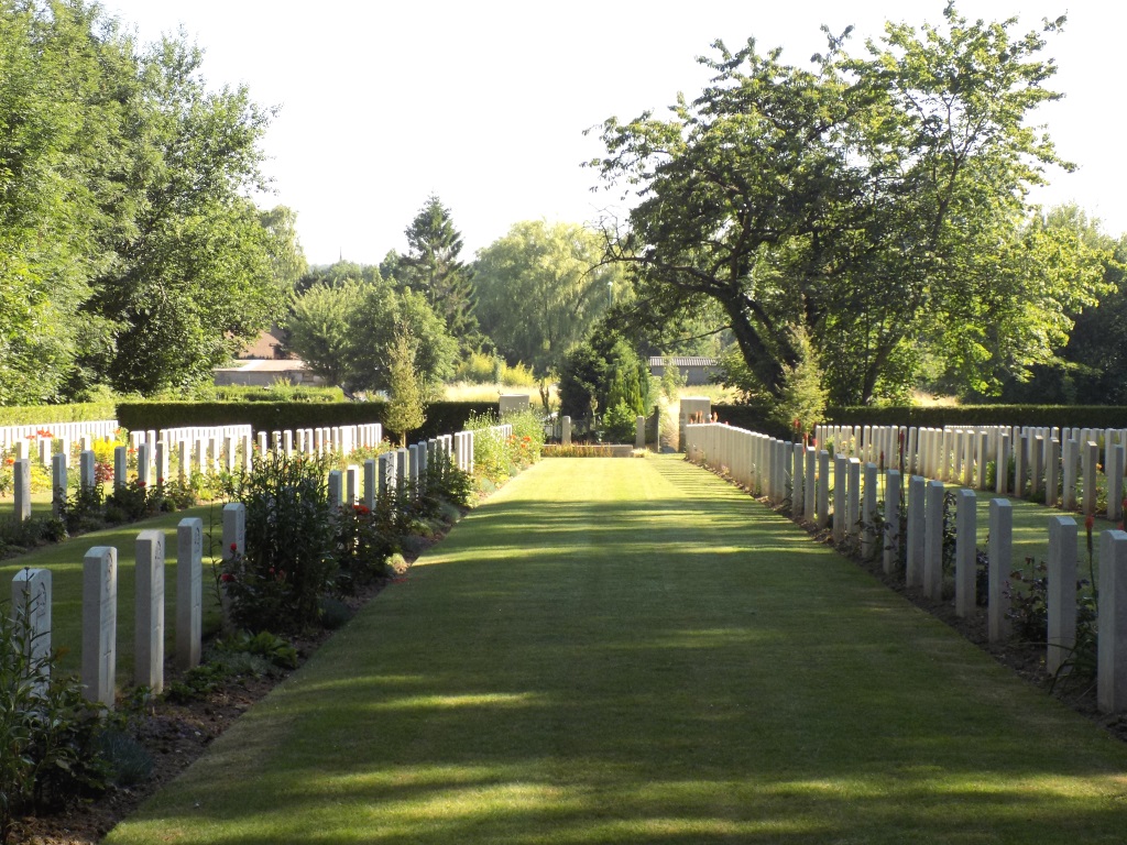
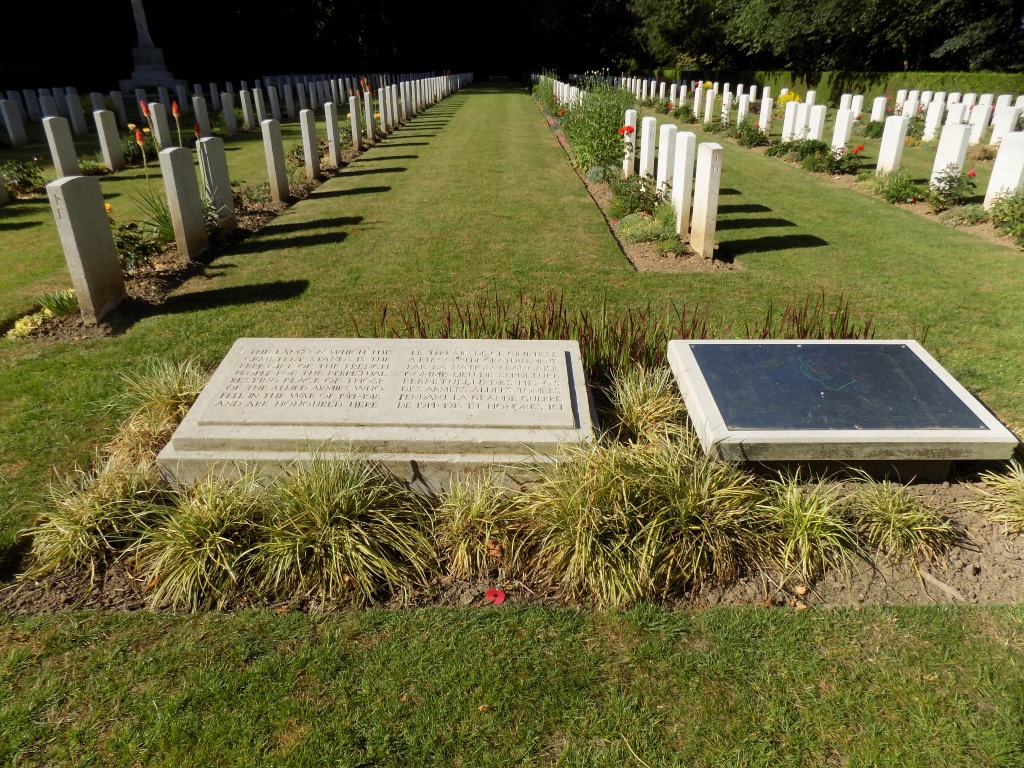
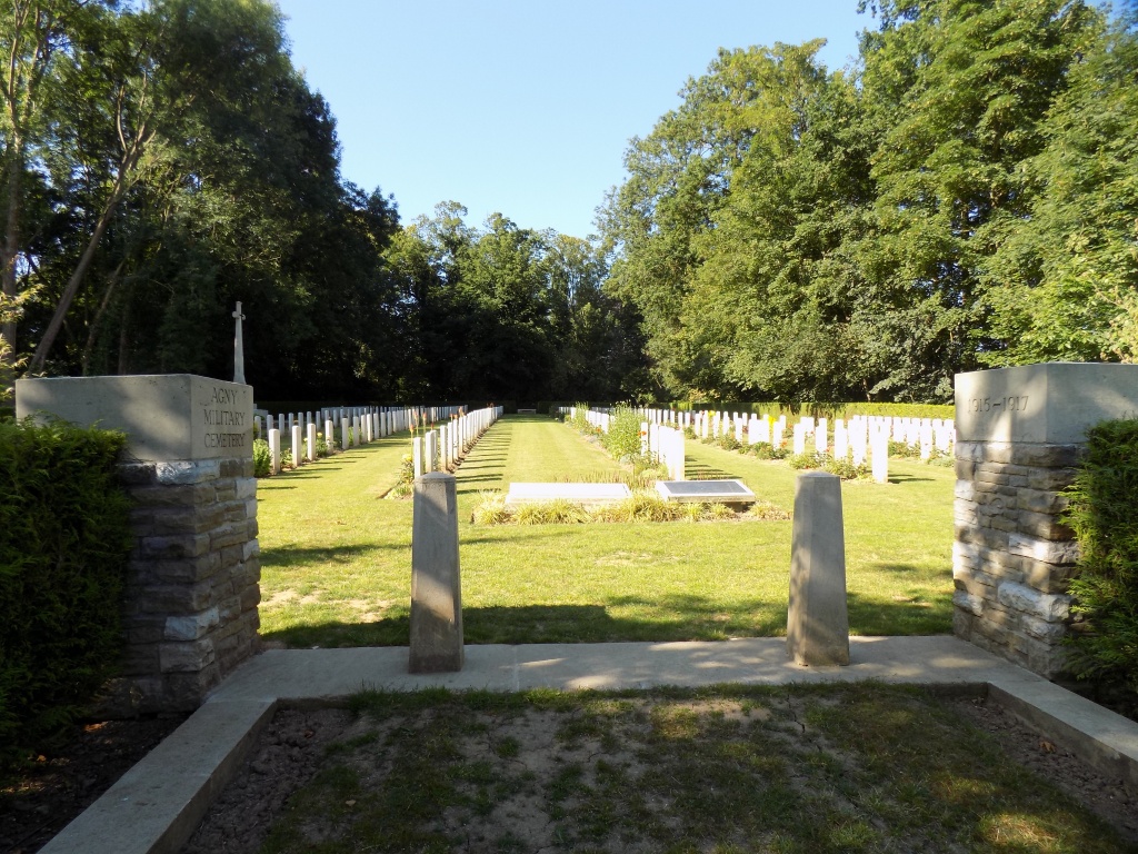
Agny Military Cemetery
- Country France
- Total identified casualties 296 Find these casualties
- Region Pas de Calais
- Identified casualties from First World War
- GPS Coordinates Latitude: 50.26589, Longitude: 2.75394
Location information
Agny is a village in the Department of the Pas-de-Calais immediately south of Achicourt. The Military Cemetery is north-west of the main part of the village across the River Crinchon. The Cemetery is on the outskirts of Agny, on the left hand side of the Achicourt-Wailly road (D3) coming from Arras. Please note that the entrance track leading to the Cemetery is on the D60, Rue des Maraichers. It is 4.75 Kms south-south-west of Arras Railway Station.
Visiting information
Wheelchair access is possible with some difficulty.
For further information regarding wheelchair access, please contact our enquiries department on telephone number 01628 634221.
History information
Agny Military Cemetery was begun by French troops, and used by Commonwealth units and field ambulances from March 1916 to June 1917. Two further burials were made in April 1918, and in 1923-24, 137 graves were brought in from the battlefields east of Arras. The 40 French graves have been removed.
Agny Military Cemetery contains 408 Commonwealth burials of the First World War, 118 of them unidentified, and five German graves.
The cemetery was designed by Sir Edwin Lutyens.