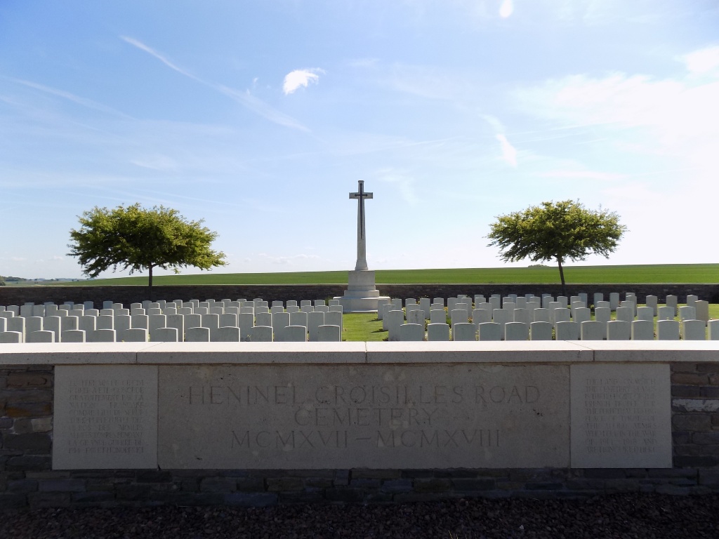
Heninel-Croisilles Road Cemetery
- Country France
- Total identified casualties 212 Find these casualties
- Region Pas de Calais
- Identified casualties from First World War
- GPS Coordinates Latitude: 50.22793, Longitude: 2.87382
Location information
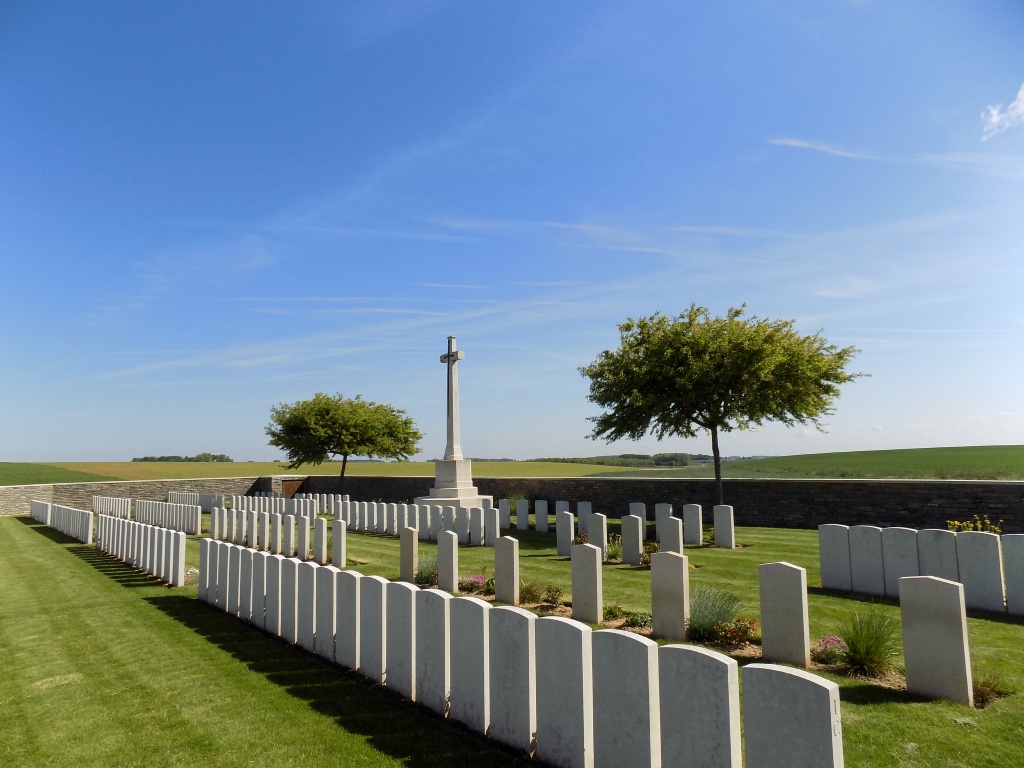
Heninel and Croisilles are villages approximately 5 kilometres and 8 kilometres south-east of Arras on the D33, in the valleys of the Cojeul and the Sensee respectively, and they are joined by a road which crosses a high plateau. On the eastern side of that road, nearer to Heninel, is the Heninel-Croisilles Road Cemetery, which is approached down a 2 kilometre track.
Visiting information
Wheelchair access to this site is possible, but maybe by alternative entrance. For further information regarding wheelchair access, please contact our enquiries dept. on 01628 634221.
History information
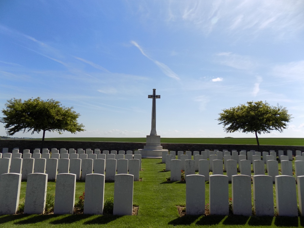
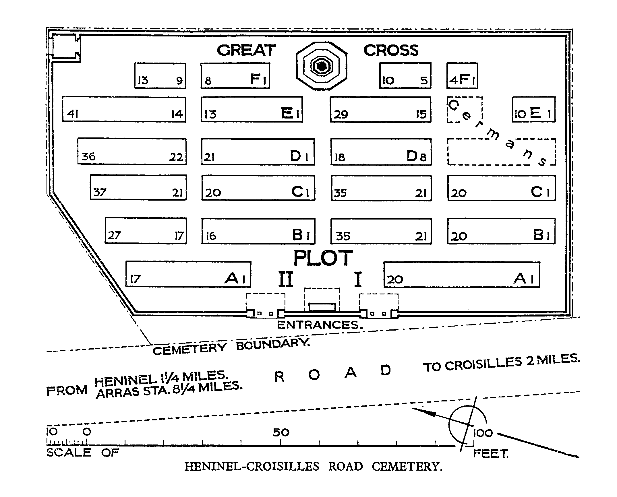
The 21st Division captured Heninel on 12 April 1917 and advanced eastwards on the two following days. The 33rd Division then took over the attack. These two divisions are largely represented in the cemetery. In April 1918 this ground was lost, and the eleven German graves in Plot I, Rows D and E, were made when the cemetery was in German hands. After the Armistice, graves were brought in from a wide area round Heninel. The cemetery now contains 307 Commonwealth burials of the First World War, 104 of them unidentified. The cemetery was designed by Sir Edwin Lutyens.