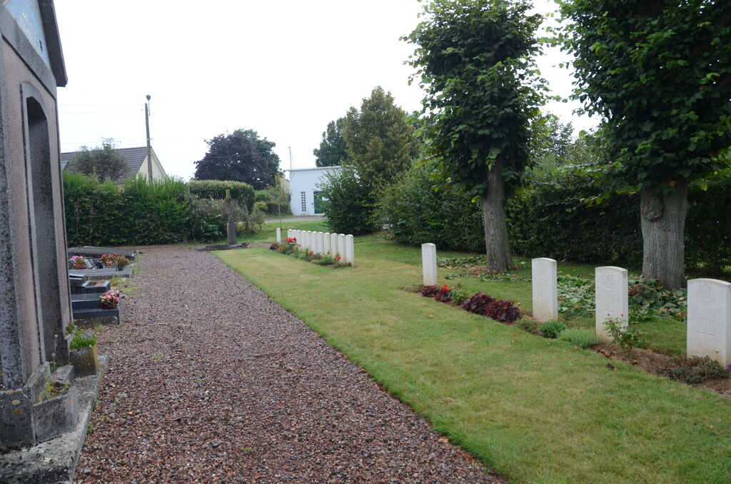
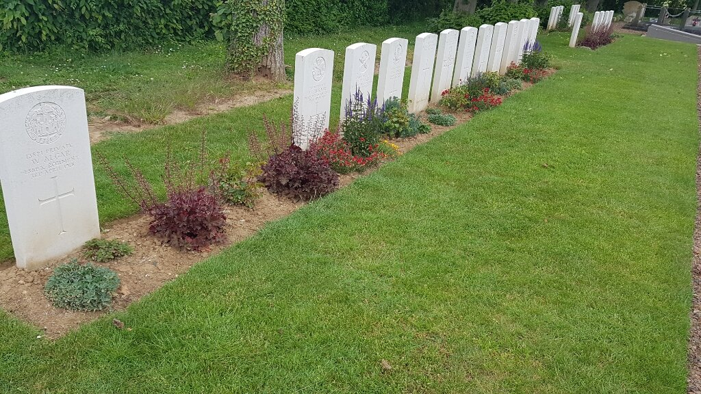
Gentelles Communal Cemetery
- Country France
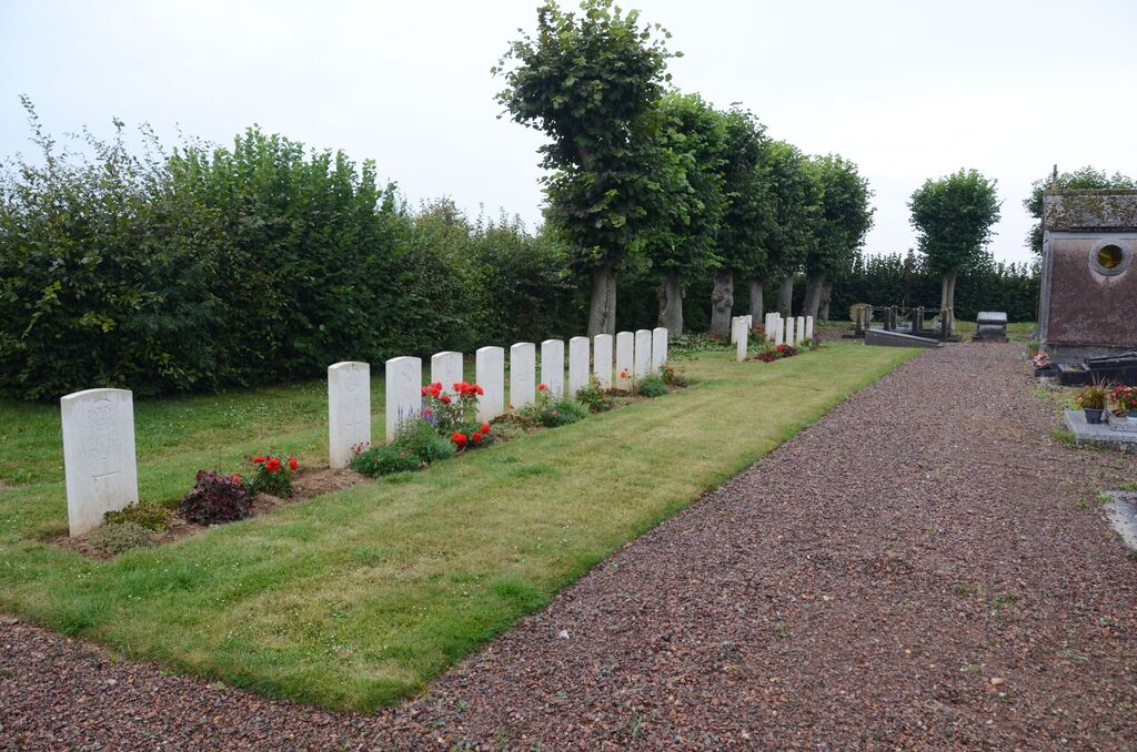
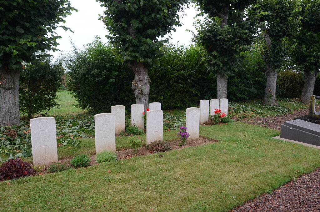
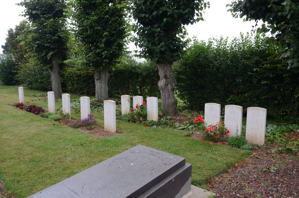
- Total identified casualties 21 Find these casualties
- Region Somme
- Identified casualties from First World War
- GPS Coordinates Latitude: 49.84555, Longitude: 2.44878
Location information
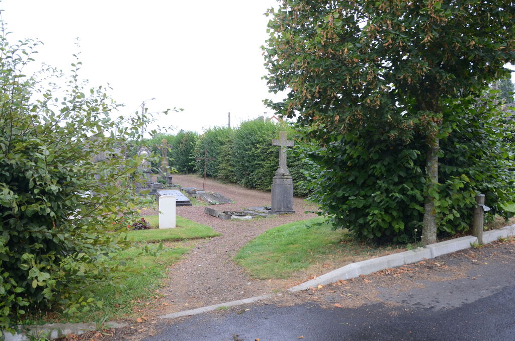
Gentelles is a village and commune in the Department of the Somme. From Amiens take the N29 in the direction of Longeau and continue along the N29 in the direction of Villers Bretonneux. Just over 4 kilometres from Longeau, turn right immediately adjacent to the Boves road onto the Gentelles road. DO NOT take the road for Boves. The cemetery lies 3 kilometres along the Gentelles road on the left hand side.
Visiting information
Wheelchair access possible via main entrance. For further information regarding wheelchair access, please contact our Enquiries Section on 01628 507200.
History information
Gentelles Communal cemetery contains 23 Commonwealth burials of the First World War. Two of the burials are unidentified and three graves destroyed by shell fire are represented by special memorials.