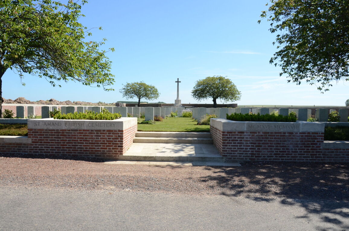
St. Amand British Cemetery
- Country France
- Total identified casualties 221 Find these casualties
- Region Pas de Calais
- Identified casualties from First World War
- GPS Coordinates Latitude: 50.1676, Longitude: 2.562
Location information
St. Amand is a village in the southern part of the Department of the Pas-de-Calais, 17 kilometres east of Doullens. The British Cemetery is located on the other side of the road from the church.
Visiting information
Wheelchair access to the cemetery is possible, but may be by an alternative entrance. For further information regarding wheelchair access, please contact our Enquiries Section on 01628 507200.
History information
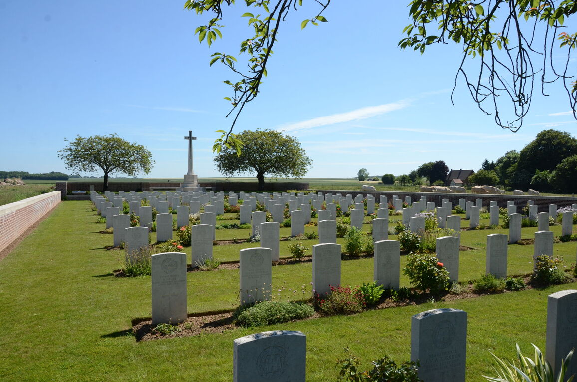
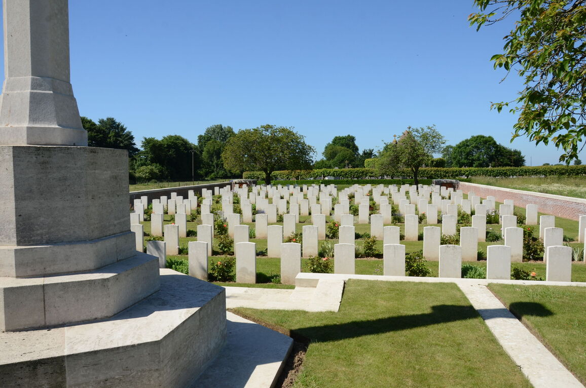
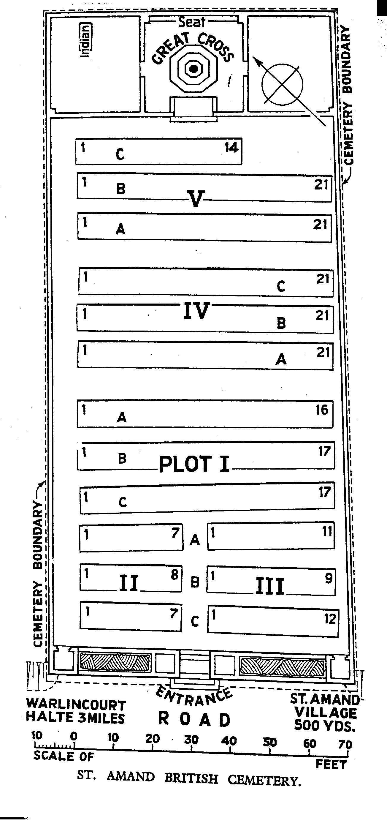
The British Cemetery was begun in April, 1916, and used by fighting units and Field Ambulances until August, 1918 (though in 1917 it was practically closed), particularly by the 37th and the 56th (London) Divisions. There are now over 200, 1914-18 war casualties commemorated in this site. Of these, a small number are unidentified. The cemetery covers an area of 1,232 square metres and is enclosed by a low red brick wall.