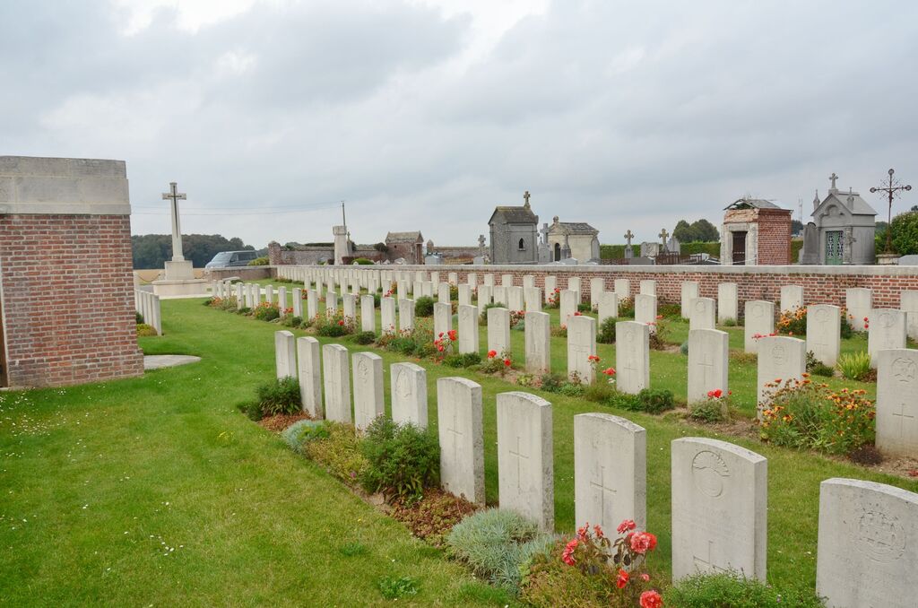
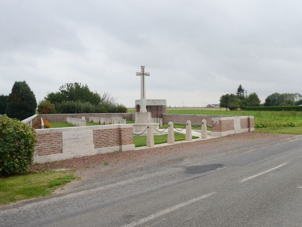
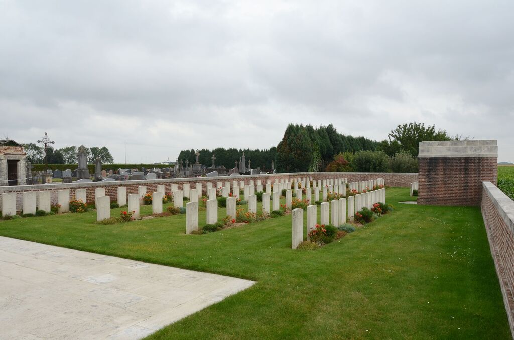
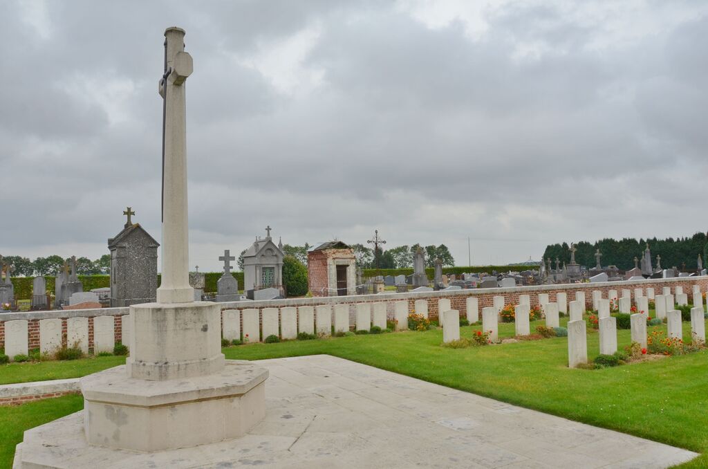
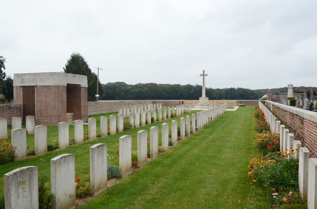
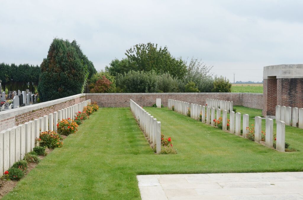
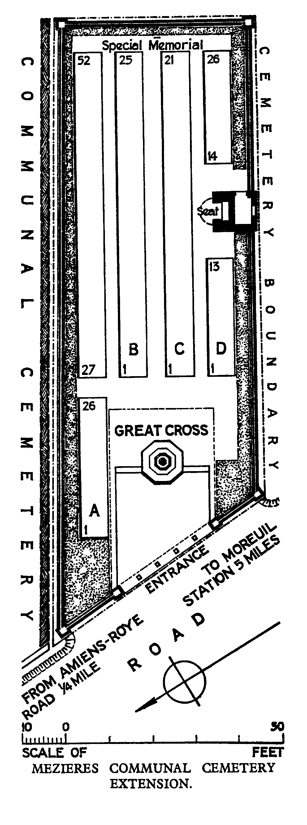
Mezieres Communal Cemetery Extension
- Country France
- Total identified casualties 71 Find these casualties
- Region Somme
- Identified casualties from First World War
- GPS Coordinates Latitude: 49.79159, Longitude: 2.5578
Location information
Mezieres is a village and commune in the Department of the Somme, on the south-west side of the main road from Amiens to Roye, 20 kilometres south-east of Amiens. The Cemetery is on the south-west side of the Communal Cemetery.
Visiting information
Wheelchair access is possible with some difficulty. For further information regarding wheelchair access, please contact our enquiries department on telephone number 01628 634221.
History information
Mezieres was the scene of rearguard actions involving French and Commonwealth troops in March 1918. The village was taken by the Germans but was recaptured the following August. The extension to the communal cemetery was begun by fighting units in August 1918, and was increased after the Armistice when graves were brought in from a wide area south-east of Amiens. It was also known as White House Cemetery, from a house on the main road to the north. The cemetery contains 134 burials and commemorations of the First World War. 63 of the burials are unidentified but a special memorial commemorates one casualty known to be buried in an unnamed grave. The extension was designed by W H Cowlishaw.