Boyelles Communal Cemetery Extension
- Country France
- Total identified casualties 139 Find these casualties
- Region Pas de Calais
- Identified casualties from First World War
- GPS Coordinates Latitude: 50.20711, Longitude: 2.81448
Location information
Boyelles is a village about 11 kilometres south of Arras on the main road to Bapaume, and the Communal Cemetery lies to the north of the village and to the east of the main road. From Boyelles, follow the Rue Principale and then the Rue D'Henin to the cemetery.
Visiting information
The location or design of this site makes wheelchair access very difficult. For further information regarding wheelchair access, please contact our Enquiries Section on enquiries@cwgc.org or 01628 507200.
History information
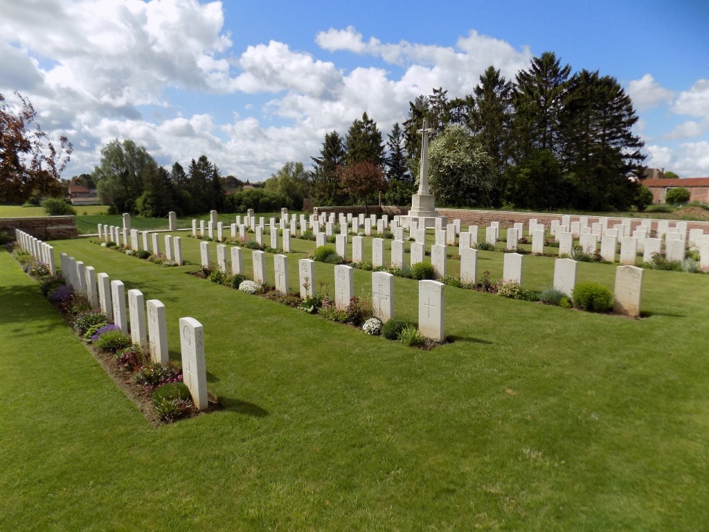
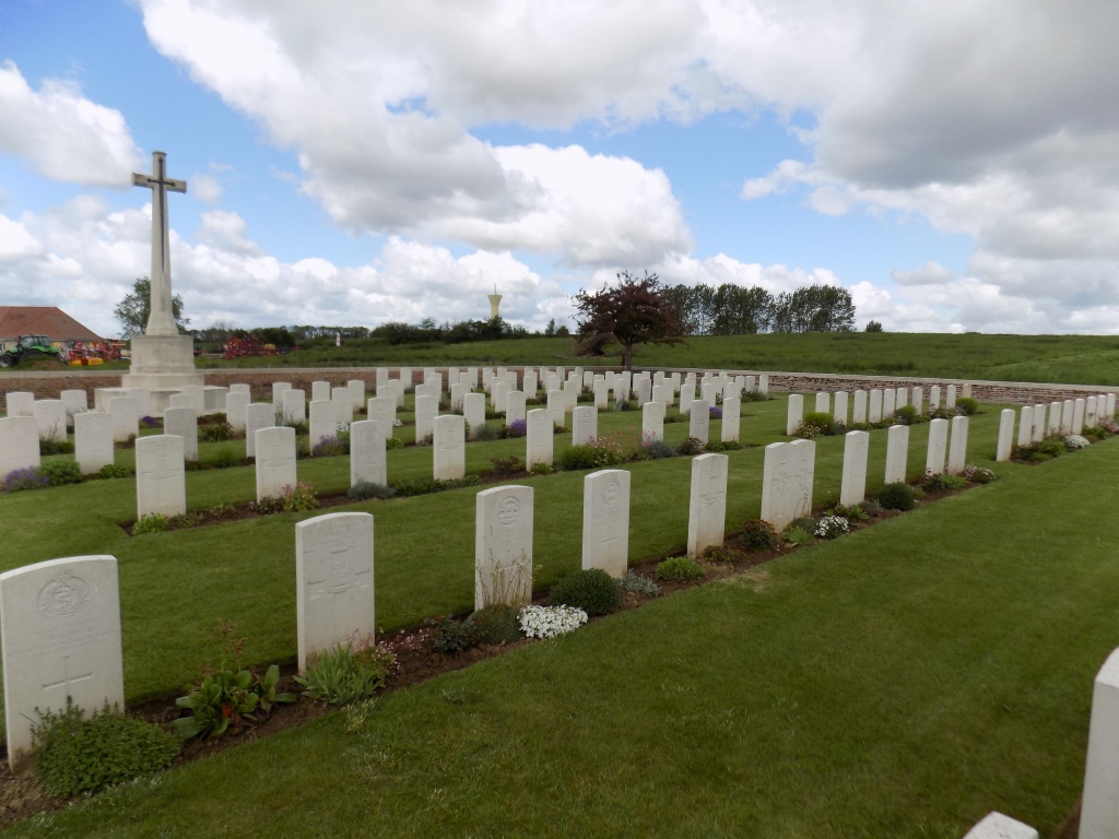
Boyelles was taken by the 7th Division on 19 March 1917, but it was in German hands for five months from March 1918.
The extension was used between the end of March 1917 and March 1918, and again in the following August and September. Many of the graves are of the 21st, 33rd and 56th London Divisions.
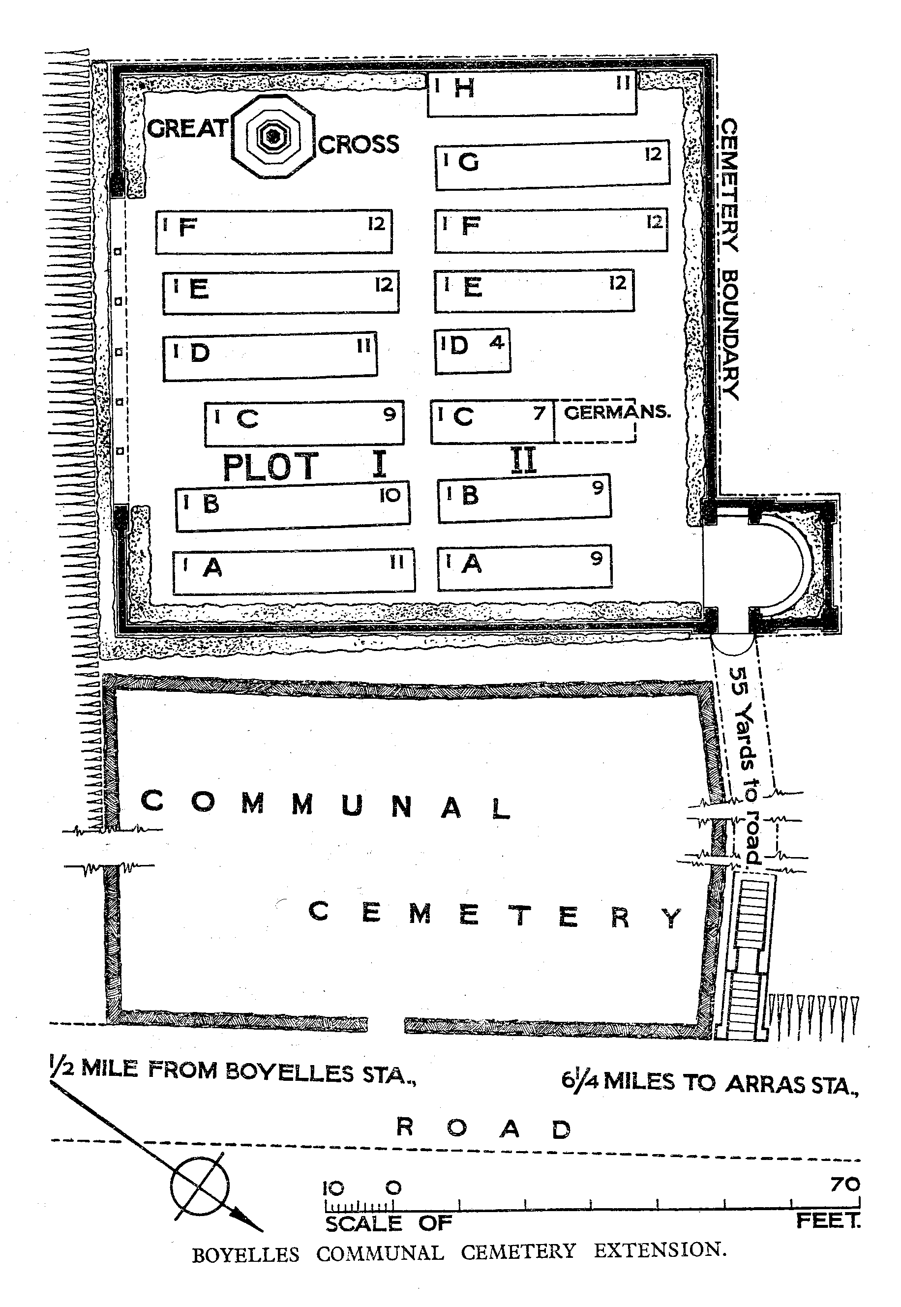
Boyelles Communal Cemetery contains 142 Commonwealth burials of the First World War, five of which are unidentified. There are also four German war graves.
The extension was designed by W H Cowlishaw.