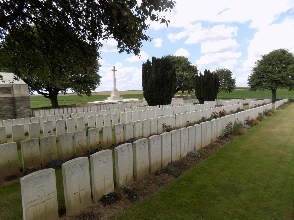
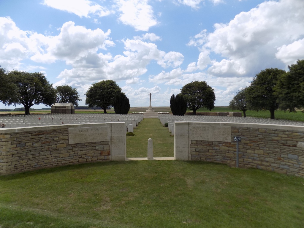
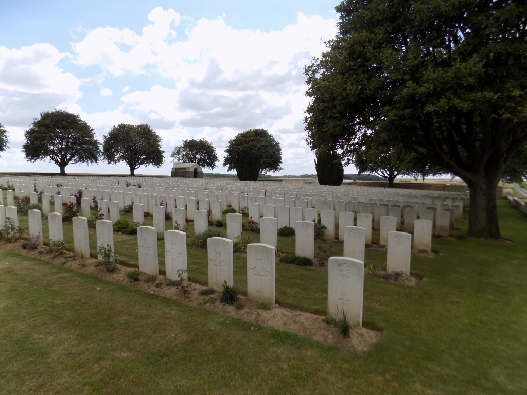
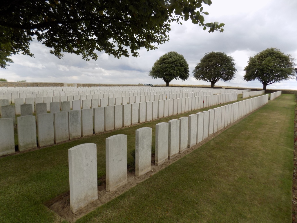
Grove Town Cemetery, Meaulte
- Country France
- Total identified casualties 1397 Find these casualties
- Region Somme
- Identified casualties from First World War
- GPS Coordinates Latitude: 49.96428, Longitude: 2.68547
Location information
Meaulte is a village just south of Albert. From Albert head south-east on the D329 in the direction of Bray-sur-Somme. Just before the main buildings for the Aerobus turn right for the centre of Meaulte. Approximately 200 metres west of the church, take the road south "rue de Etinehem" Continue south past Meaulte Military Cemetery, and approximately 2.3 kilometres further on turn left (eastwards) Grove Town Cemetery is 600 metres along on the right side of this track. For those wishing to approach the cemetery from the south side, take the D1 Bray-sur-Somme / Corbie road, at the junction of the D1 and C2 Etineham / Meaulte minor road is the first back to back Commission roadsign. Head north towards Meaulte, until reaching a fork in the road, where there is a CWGC road sign. Take the right fork in the direction of the airfield perimeter fence. At the Commission road sign and take the left track north, Grove Town Cemetery is ahead and to the left side of the track.
Visiting information
Wheelchair access to this site is possible, but may be by alternative entrance. For further information regarding wheelchair access, please contact our Enquiries Section on 01628 507200.
History information
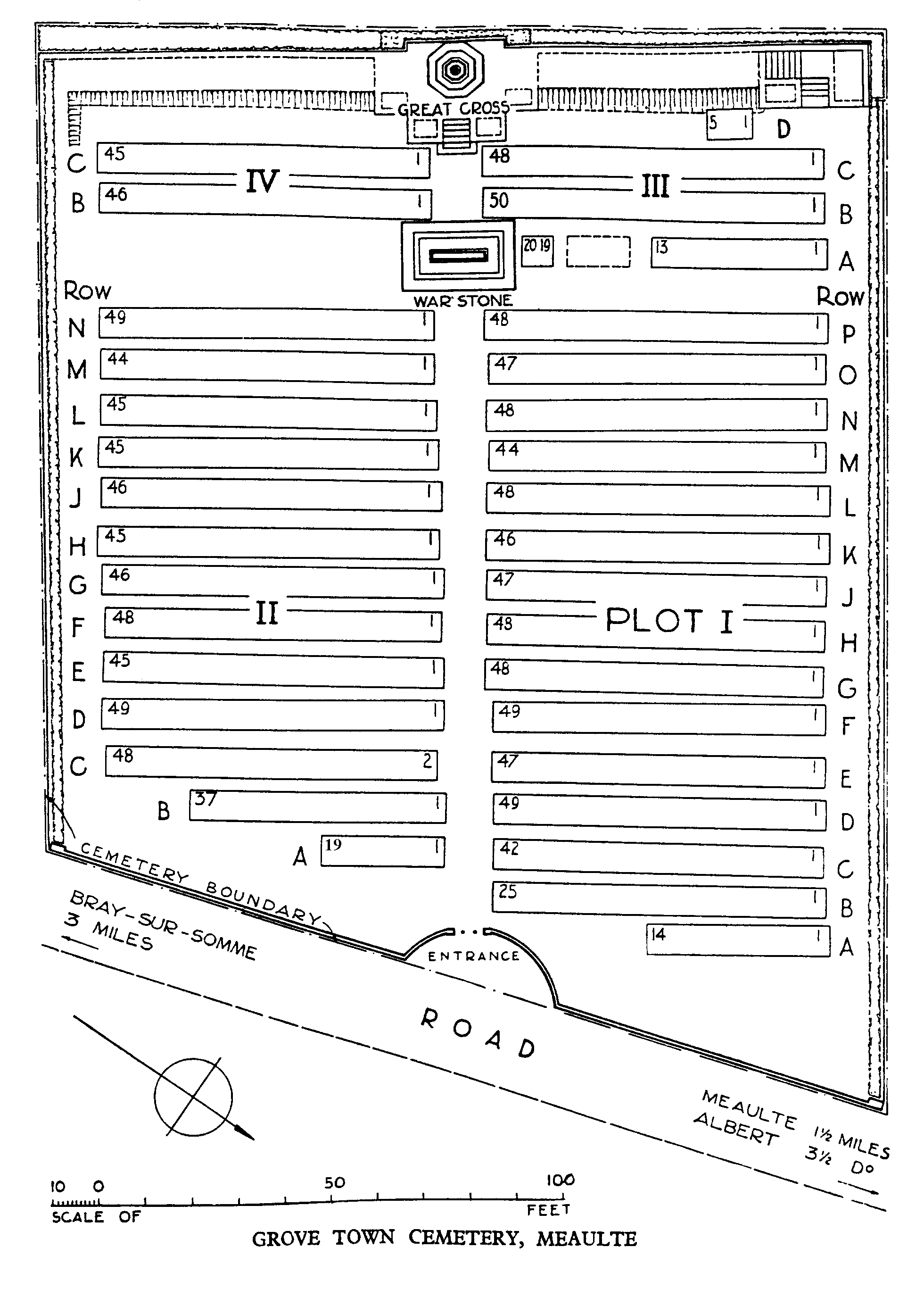
In September 1916, the 34th and 2/2nd London Casualty Clearing Stations were established at this point, known to the troops as Grove Town, to deal with casualties from the Somme battlefields. They were moved in April 1917 and, except for a few burials in August and September 1918, the cemetery was closed. Grove Town Cemetery contains 1,395 First World War burials. The cemetery was designed by Sir Edwin Lutyens.