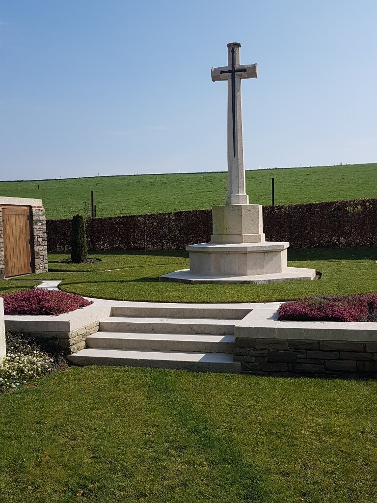
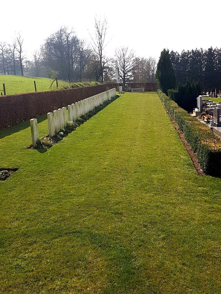
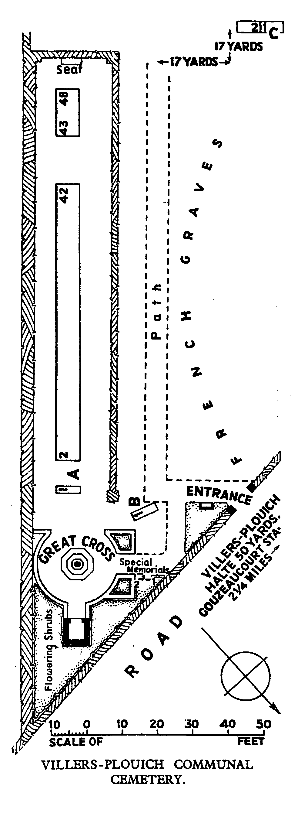
Villers-Plouich Communal Cemetery
- Country France
- Total identified casualties 45 Find these casualties
- Region Nord
- Identified casualties from First World War
- GPS Coordinates Latitude: 50.08108, Longitude: 3.13816

Location information
Villers-Plouich is a village in the Department of the Nord, 24 kilometres north of Gouzeaucourt which is 19 kilometres north east of Peronne on the D917 and 16 kilometres south west of Cambrai (N44/D197). The Cemetery is constructed in a corner of the Communal Cemetery which is just to the right as you leave the village on the D56 direction Marcoing.
History information
Villers-Plouich was captured in April, 1917, by the 13th East Surreys; lost in March, 1918; and regained at the end of the following September, when the 1st East Surreys were the first troops to enter the village. It was later "adopted" by the Borough of Wandsworth. There are now over 50, 1914-18 war casualties commemorated in this site. Of these, a small number are unidentified and special memorials are erected to two soldiers from the United Kingdom known to be buried among them.