Famars Communal Cemetery Extension
- Country France
- Total identified casualties 35 Find these casualties
- Region Nord
- Identified casualties from First World War
- GPS Coordinates Latitude: 50.31221, Longitude: 3.51932
Location information
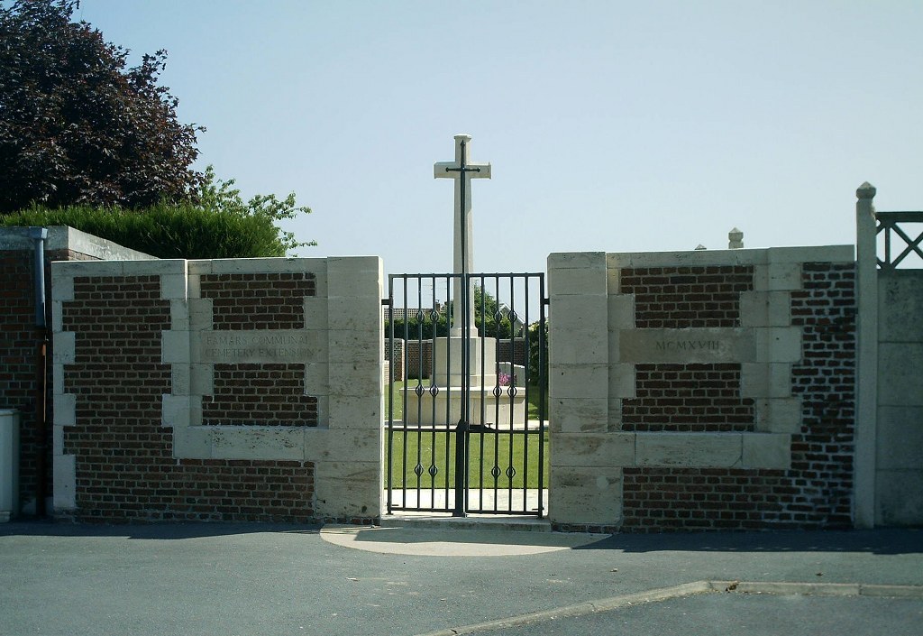
Famars Communal Cemetery Extension is a small cemetery situated in the village of Famars which is 3.5 kilometres south of Valenciennes on the road to Solesmes (D958). On entering Famars from Valenciennes, the Communal Cemetery Extension will be found approximately 400 metres after the Mairie, next to the Communal Cemetery.
Visiting information
The register is available in the Mairie from Monday to Friday from 9.00 to 12.00 and 14.00 to 17.00
Saturday from 9.00 to 12.00
History information
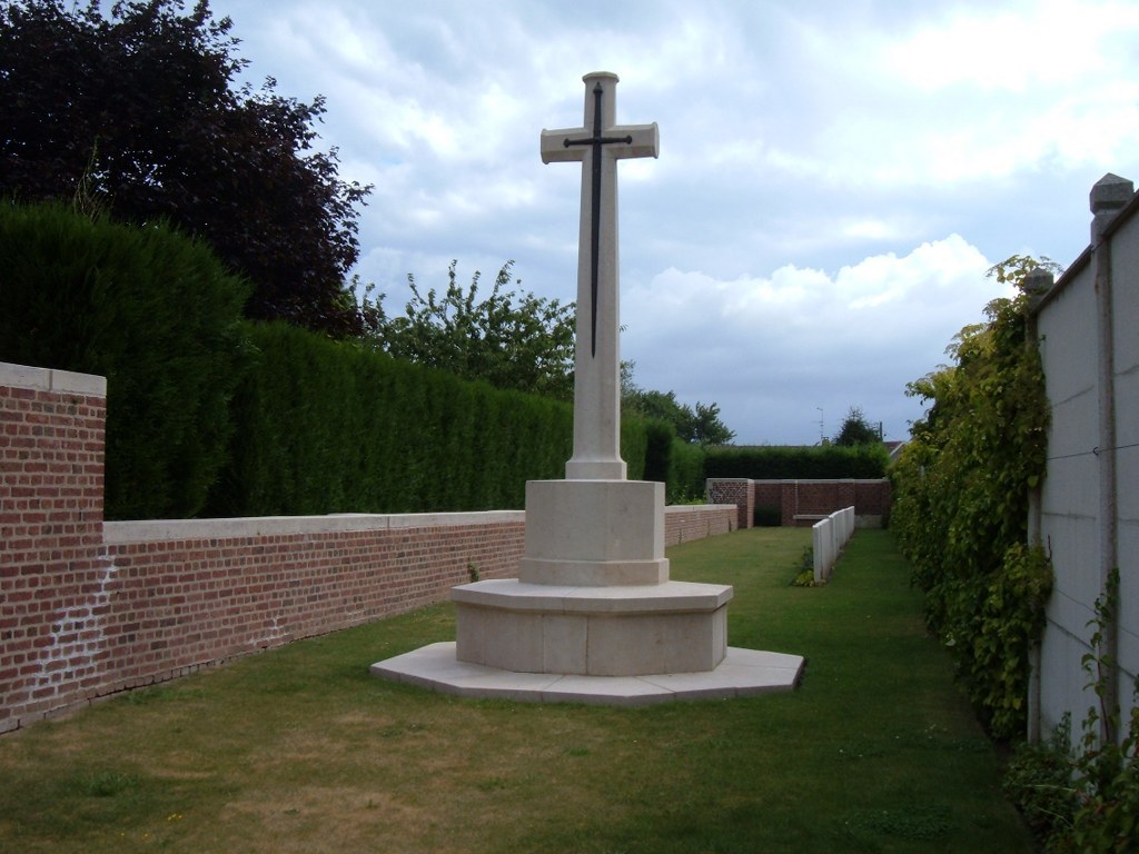
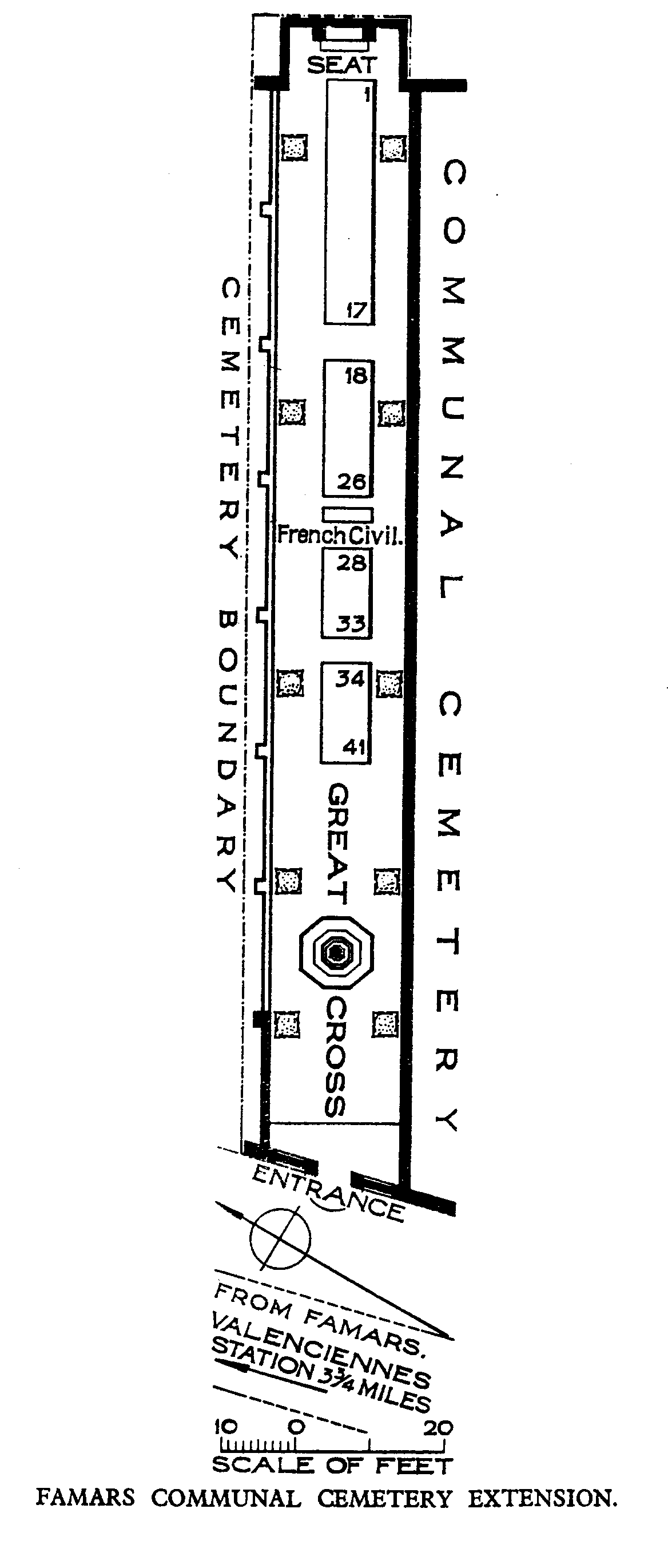
Famars was captured by the 4th Gordon Highlanders, after two days' fighting, on the 27th October, 1918. The Communal Cemetery was extended to the North-West, by fighting units in late October and early November, 1918. There are now over 40, 1914-18 war casualties commemorated in this site. Of these, a small number are unidentified. The Extension covers an area of 304 square metres and is enclosed by a brick wall.