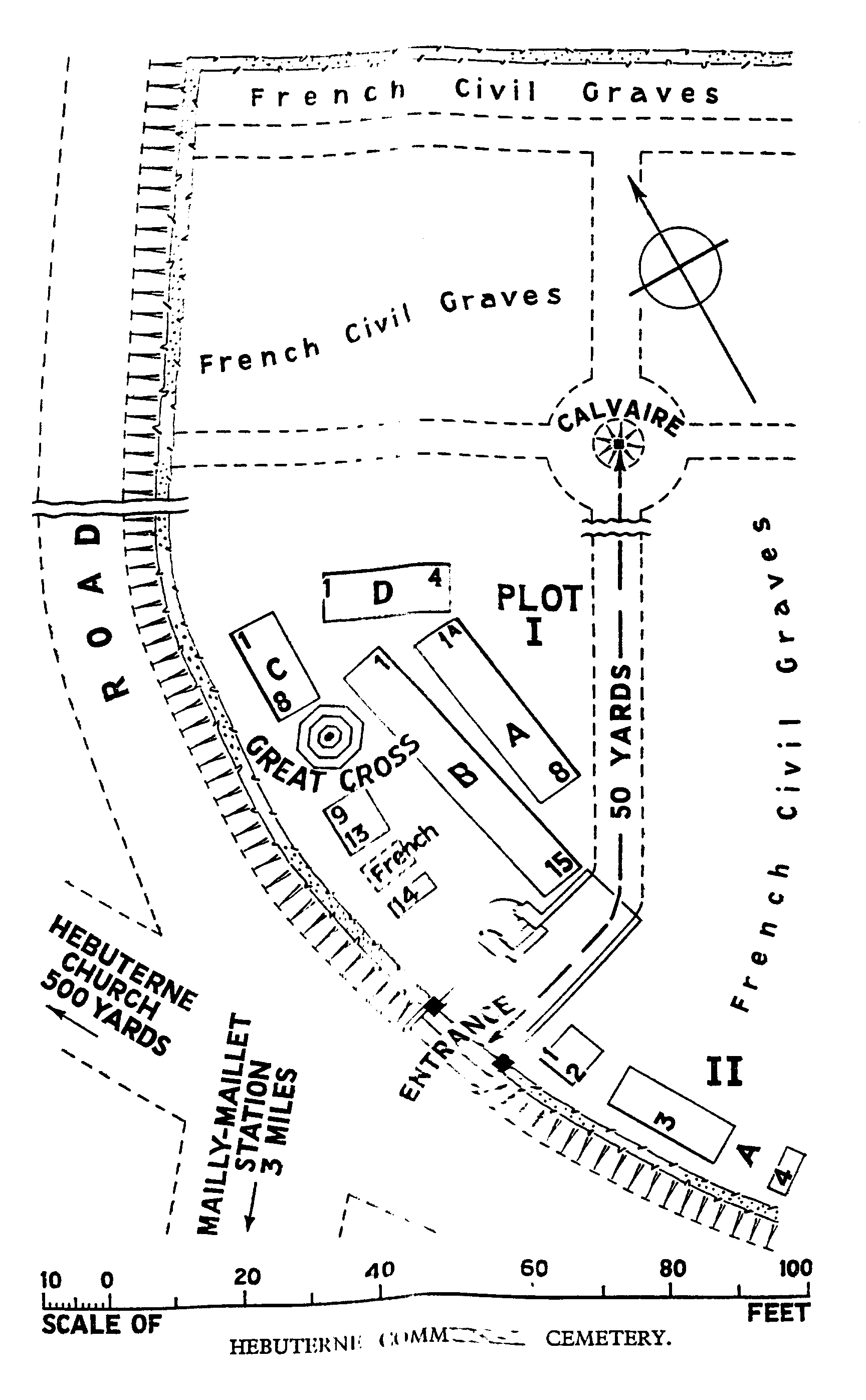
Hebuterne Communal Cemetery
- Country France
- Total identified casualties 53 Find these casualties
- Region Pas de Calais
- Identified casualties from First World War
- GPS Coordinates Latitude: 50.11958, Longitude: 2.63791
Location information
Hebuterne is a village 15 kilometres north of Albert (Somme) and 20 kilometres south-west of Arras. Using the D919 from Arras to Amiens, you will drive through the villages of Bucquoy, Puisieux then Serre Les Puisieux (approximately 20 kilometres south of Arras). On leaving Serre Les Puisieux, 3 kilometres further along the D919, turn right following the signs for Hebuterne. On arrival at Hebuterne, immediately on the right hand side is Hebuterne Communal Cemetery.
Visiting information
The register is available in the Mairie from Monday from 13.30 to 17.00
Tuesday from 9.00 to 12.00
Thursday from 8.00 to 12.00 and 15.00 to 19.00
Saturday from 9.00 to 12.00
History information
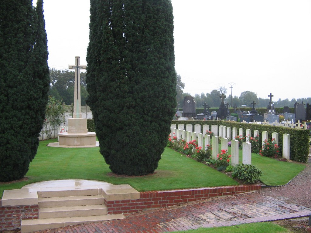
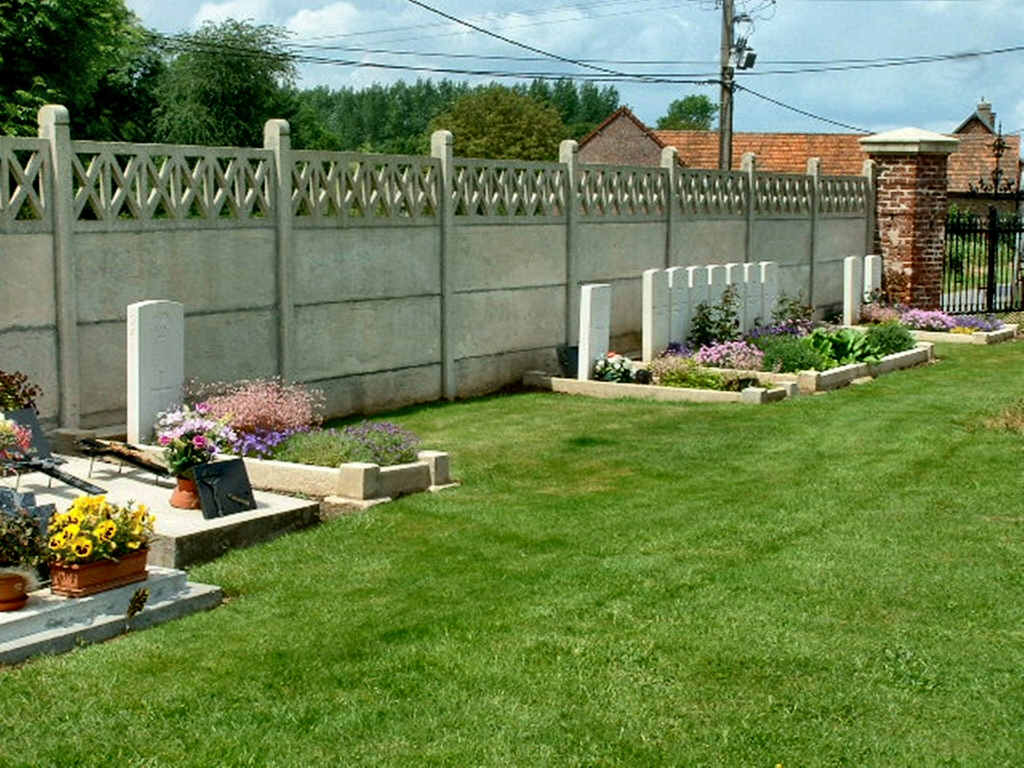
Hebuterne was taken over by Commonwealth forces from the French in the summer of 1915 and it remained vulnerable to shell fire during the 1916 Battle of the Somme. It was again the scene of fighting in March 1918 when the New Zealand Division held up the German advance and during the following summer, the village was partly in German hands. The communal cemetery contains two plots of graves, mainly of the 20th (Light) and 31st Divisions.
There are now 58 First World War burials in the cemetery, six of them unidentified.