Montigny Communal Cemetery, Somme
- Country France
- Total identified casualties 53 Find these casualties
- Region Somme
- Identified casualties from First World War
- GPS Coordinates Latitude: 49.97801, Longitude: 2.43848

Location information
Montigny (or Montigny-sur-I'Hallue) is a village on the D919 Amiens (15 kilometres) to Contay (3.5 kilometres) road, then the D78 to Montigny (1 kilometre). Continue for a further 100 metres along the Rue de La Brassierie and then turn left, the cemetery will be found a further 100 metres on.
Visiting information
Wheelchair access possible via main entrance.
For further information regarding wheelchair access, please contact our enquiries dept. on 01628 634221.
Download Cemetery Plan
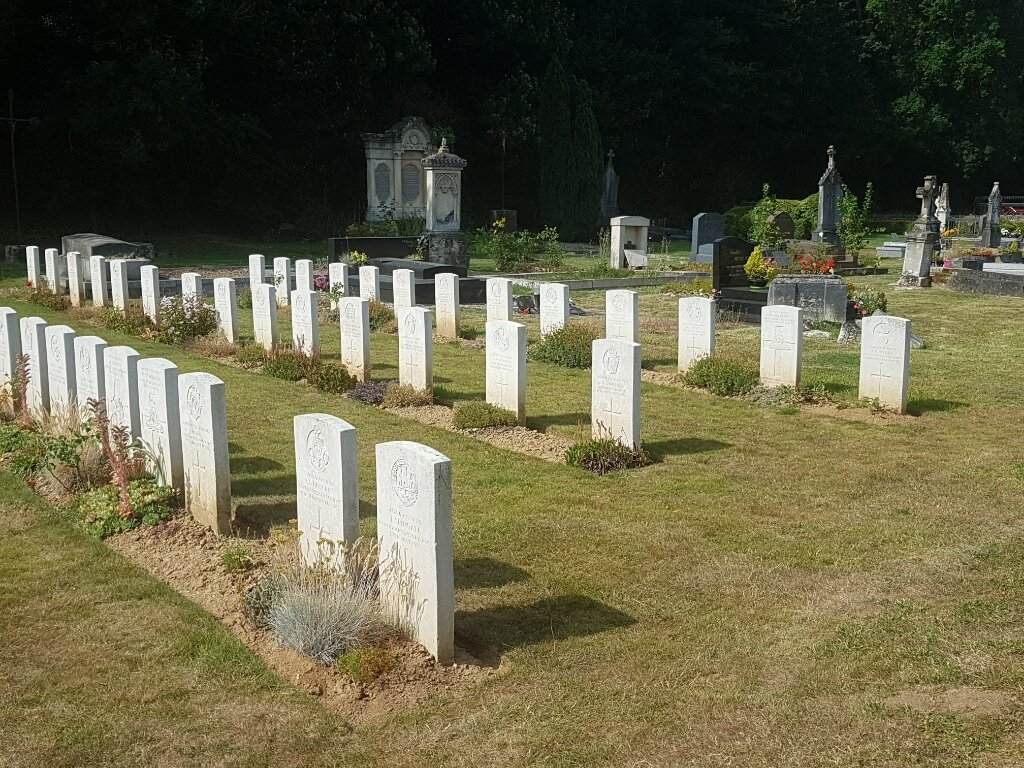
History information
The communal cemetery was used by the 47th (London) and 58th (London) Divisions from May to August 1918. It contains 56 Commonwealth burials of the First World War, three of which are unidentified.