Bayenghem-Les-Seninghem Churchyard
- Country France
- Total identified casualties 4 Find these casualties
- Region Pas de Calais
- Identified casualties from First & Second World War
- GPS Coordinates Latitude: 50.70019, Longitude: 2.07493
Location information
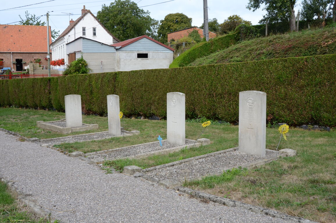
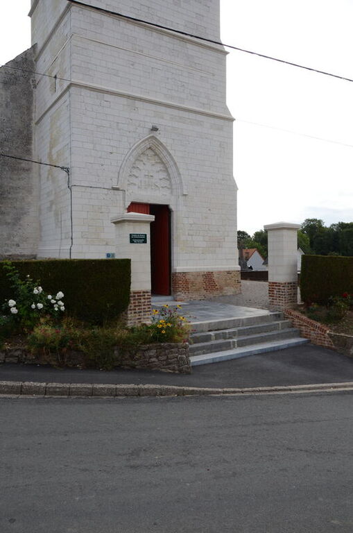
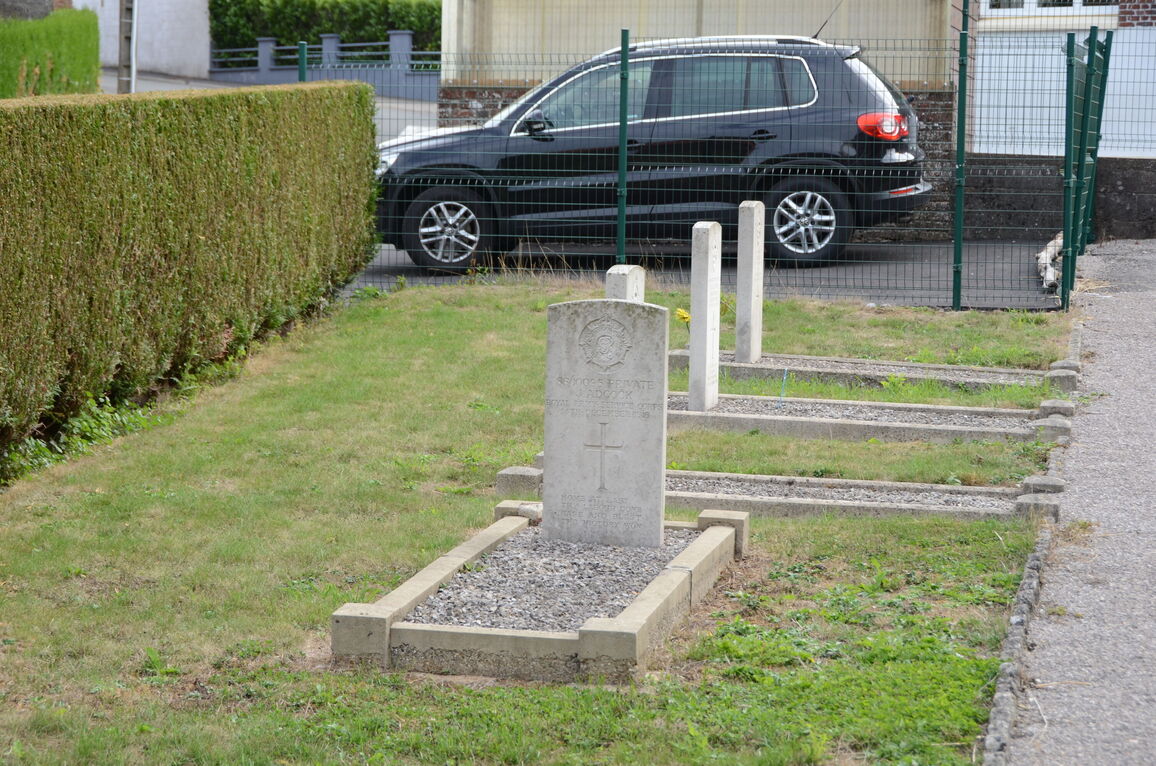
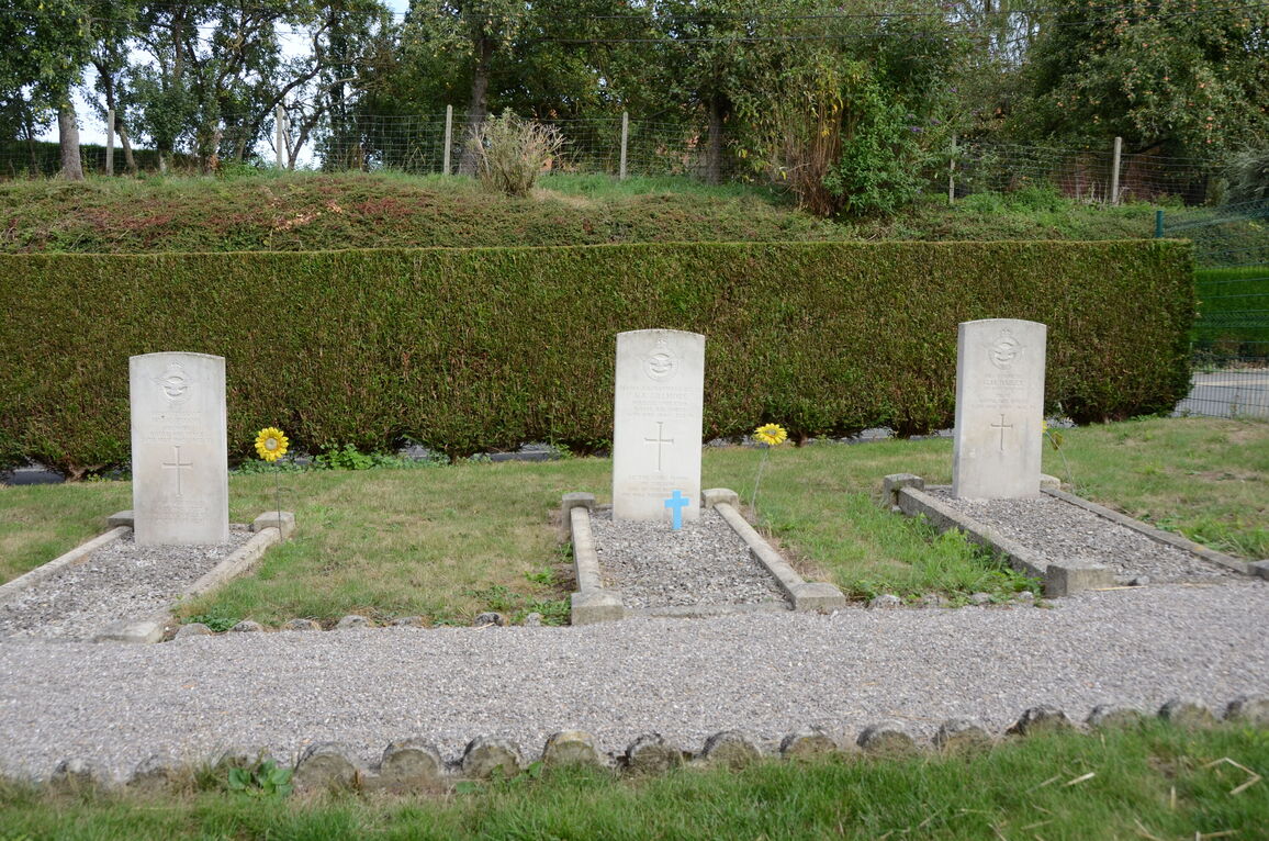
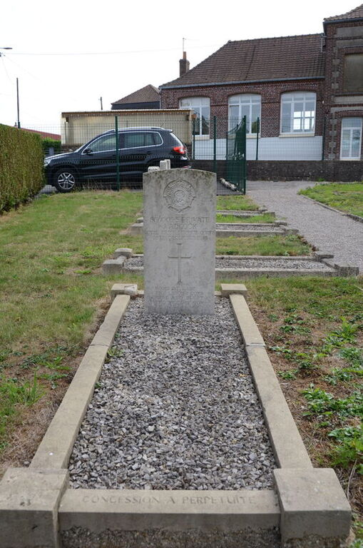
Bayenghem is a village and commune in the Department of the Pas-de-Calais some 14 kilometres south-west of St Omer on the main road N42, in the direction of Boulogne. The Commonwealth graves will be found on the north side of the churchyard.
History information
Bayenghem-les-Seninghem Churchyard contains one Commonwealth burial of the First World War and three from the Second World War.