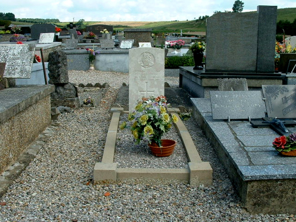
Fruges Communal Cemetery
- Country France
- Total identified casualties 21 Find these casualties
- Region Pas de Calais
- Identified casualties from First & Second World War
- GPS Coordinates Latitude: 50.51908, Longitude: 2.13517
Location information
Fruges is a small town in the Pas-de-Calais department of France, located half way between Bethune and Le Touquet-Paris-Plage. It is situated on the D928 road between St Omer and Hendin. The Cemetery is located by taking the road out of the town in the direction of St Omer. Turn right at the top of the hill onto the D104 towards Matrighem. The Cemetery is immediately on your right. The grave of the First World War casualty is located halfway between the entrance and the centre of the cemetery. The Second World War plots are situated at the extreme left hand front corner.
History information
There are now a small number of 1914-18 and 20, 1939-45 war casualties commemorated in this site.