Koblenz Jewish Cemetery
- Country Germany
- Total identified casualties 1 Find these casualties
- Region Rheinland-Pfalz
- Identified casualties from First World War
- GPS Coordinates Latitude: 50.36222, Longitude: 7.58498
Location information
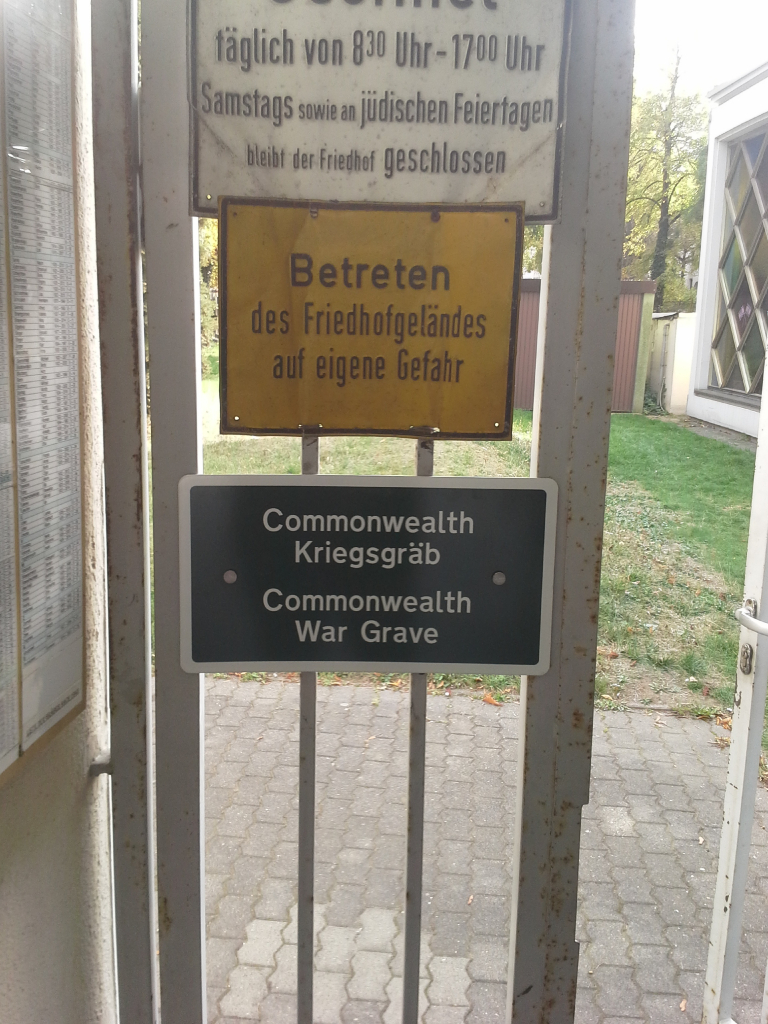
Koblenz is a city in West Germany approx 100km south of Köln (Cologne). From the A3 Köln to Frankfurt motorway take exit 39 (Ausfahrt 39) A48 TRIER / KOBLENZ and follow direction KOBLENZ. Follow the A48 for approx 20kms and take exit 10 (Ausfahrt 10) KOBLENZ-NORD / KOBLENZ ZENTRUM and follow direction B9 KOBLENZ ZENTRUM. Continue for approx 5kms and then follow direction B49 RAUENTAL. Take the 2nd exit at the roundabout onto MOSELWEIßER STRAßE, continue for approx 200m and turn right onto SCHWERZSTRAßE. The CWGC headstone is located against the left hand wall. The cemetery address is:- Schwerzstraße 14 56073 Koblenz Germany GPS Location is:- N 50 21 44 E 07 35 06 Google Maps Link http://maps.google.co.uk/maps?q=50.362191,7.585351&t=h&sll=50.362097,7.584914
History information
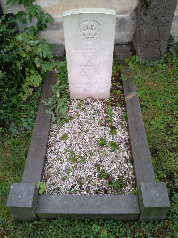
The majority of First World War Commonwealth war graves in Germany were moved into four permanent cemeteries after the war. However, a few graves could not be moved on religious grounds or for other reasons and they remain in their original locations in German military and civil cemeteries. Koblenz Jewish Cemetery contains one Commonwealth burial of the First World War.