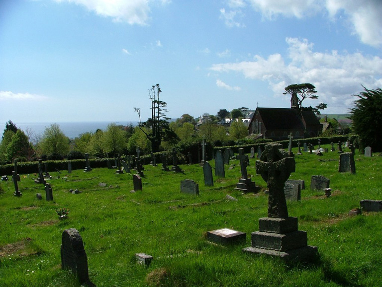
Teignmouth Cemetery
- Country United Kingdom
- Total identified casualties 49 Find these casualties
- Region Devon
- Identified casualties from First & Second World War
- GPS Coordinates Latitude: 50.55684, Longitude: -3.50508
History information
The cemetery is on the main Exeter road. It was opened in 1856, and until 1909 its area was divided between East and West Teignmouth and Shaldon. It now belongs to the Urban District Council, and covers twelve acres. There are 25 burials of the 1914-1918 War and a further 24 burials of the 1939-1945 War in this cemetery.