Quarry Cemetery, Vermelles
- Country France
- Total identified casualties 130 Find these casualties
- Region Pas de Calais
- Identified casualties from First World War
- GPS Coordinates Latitude: 50.49935, Longitude: 2.76931
Location information
Vermelles is a village north of the N43 road between Bethune and Lens, and about 9 kilometres from either town. From the church in Vermelles head north-east and where the road turns sharp right continue straight on in the direction of Auchy-les-Mines. The cemetery is found at the end of the gravel track, off Rue Voltaire on the right hand side of the road, 2 kilometres from the church.
Visiting information
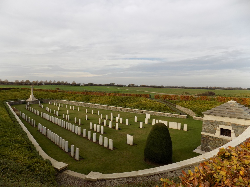
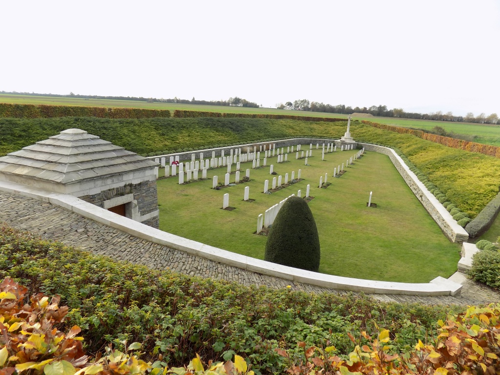
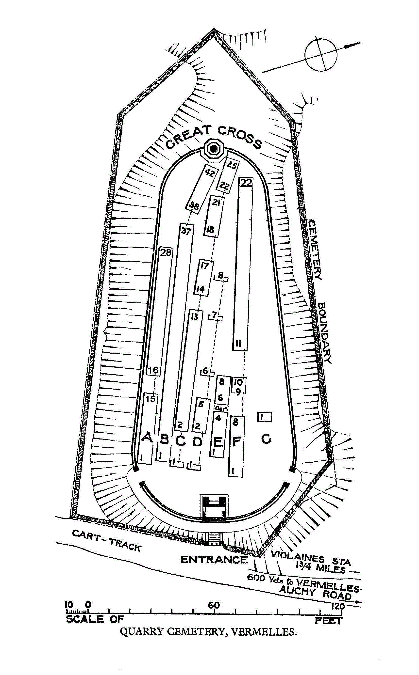
The cemetery is not visible from the main road as it is below ground level, lying in a chalk pit 3 metres below the ground level.
The location or design of this site makes wheelchair access very difficult. For further information regarding wheelchair access, please contact our Enquiries Section on enquiries@cwgc.org or 01628 507200.
History information
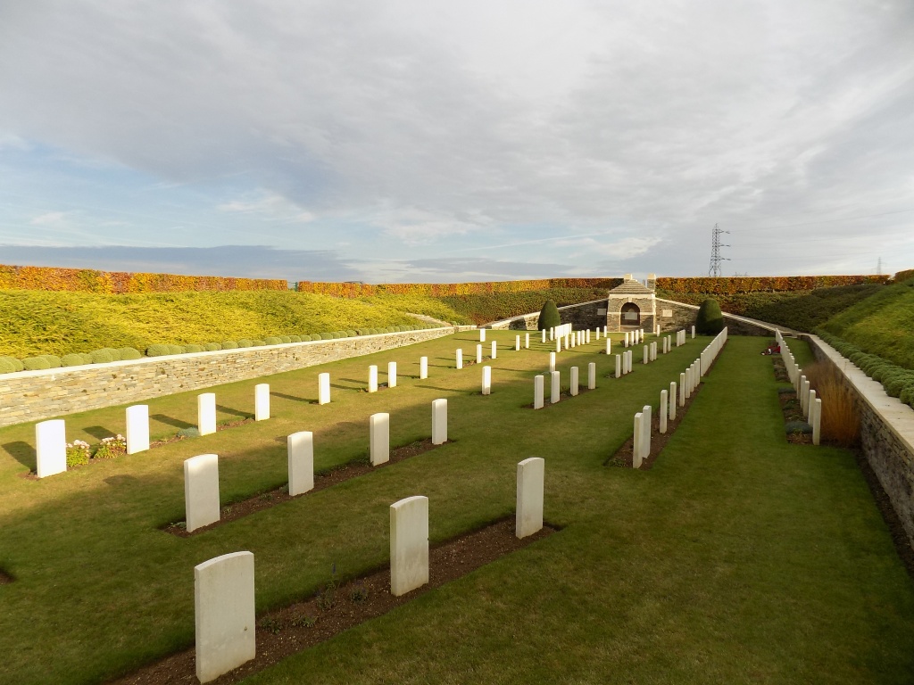
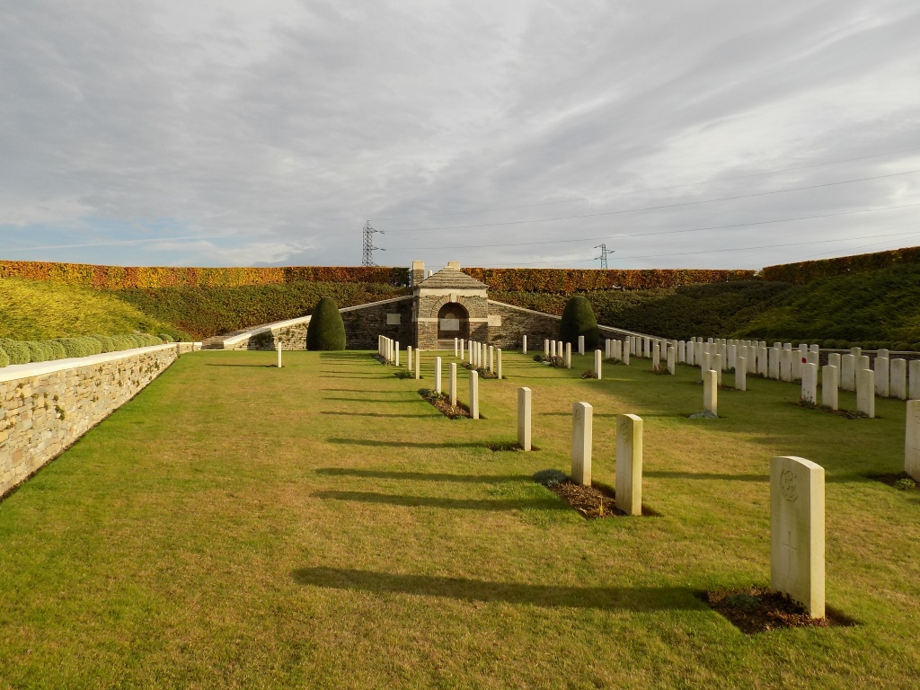
Quarry Cemetery was used from July 1915 to June 1916, and (for two burials) in August 1917. Its existence is due chiefly to the fighting at Fosse 8 and at the Hohenzollern Redoubt, and it contains many graves of the dismounted Cavalry who occupied this sector in 1915-16. The cemetery, was severely damaged by shell fire.
There are now over 100, 1914-18 war casualties commemorated in this site. Of these, 10 are unidentified and many of the graves, identified as a whole but not individually, are marked by headstones bearing the additional words "Buried near this spot".
The cemetery covers an area of 2,061 square metres.