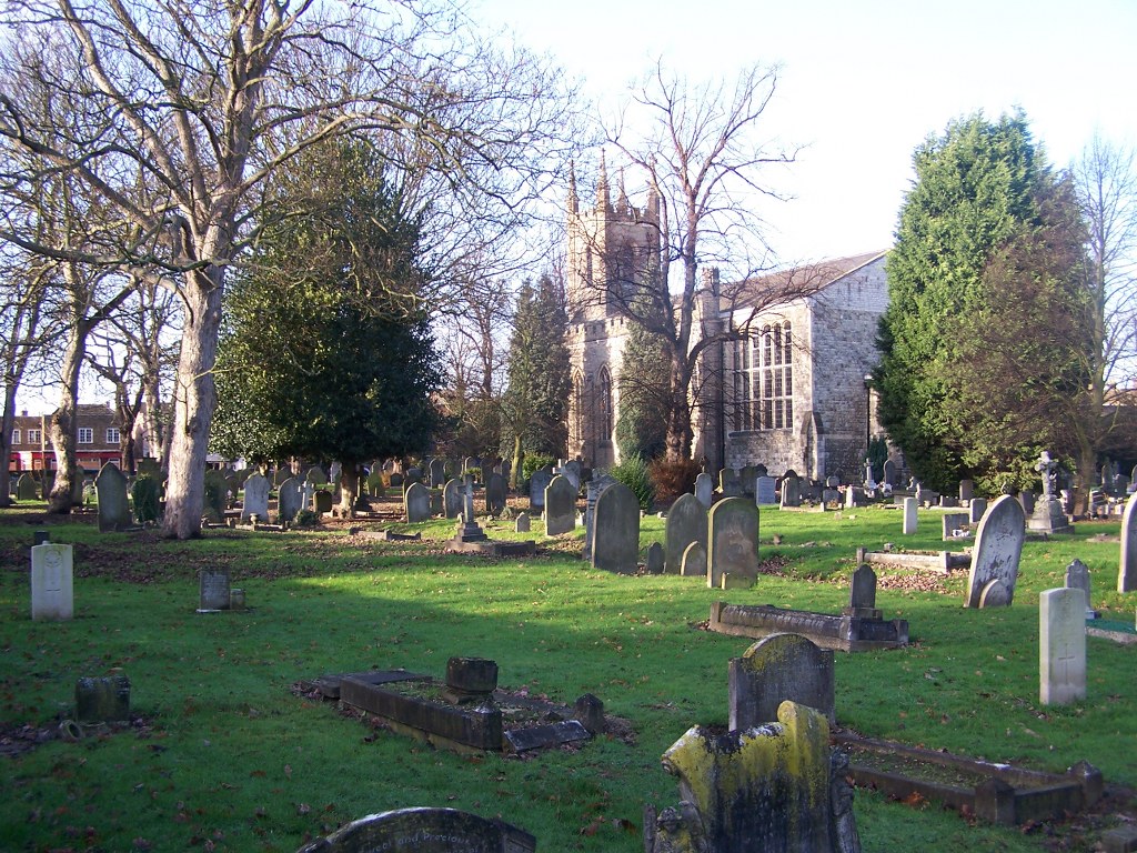
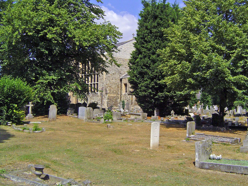
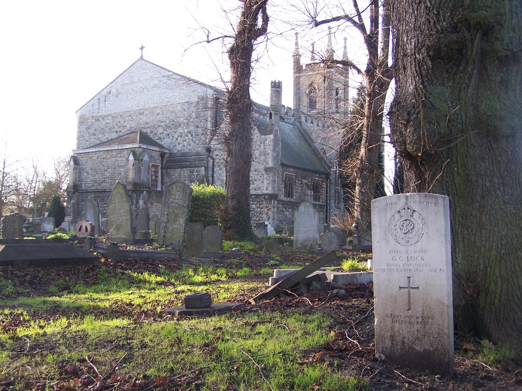
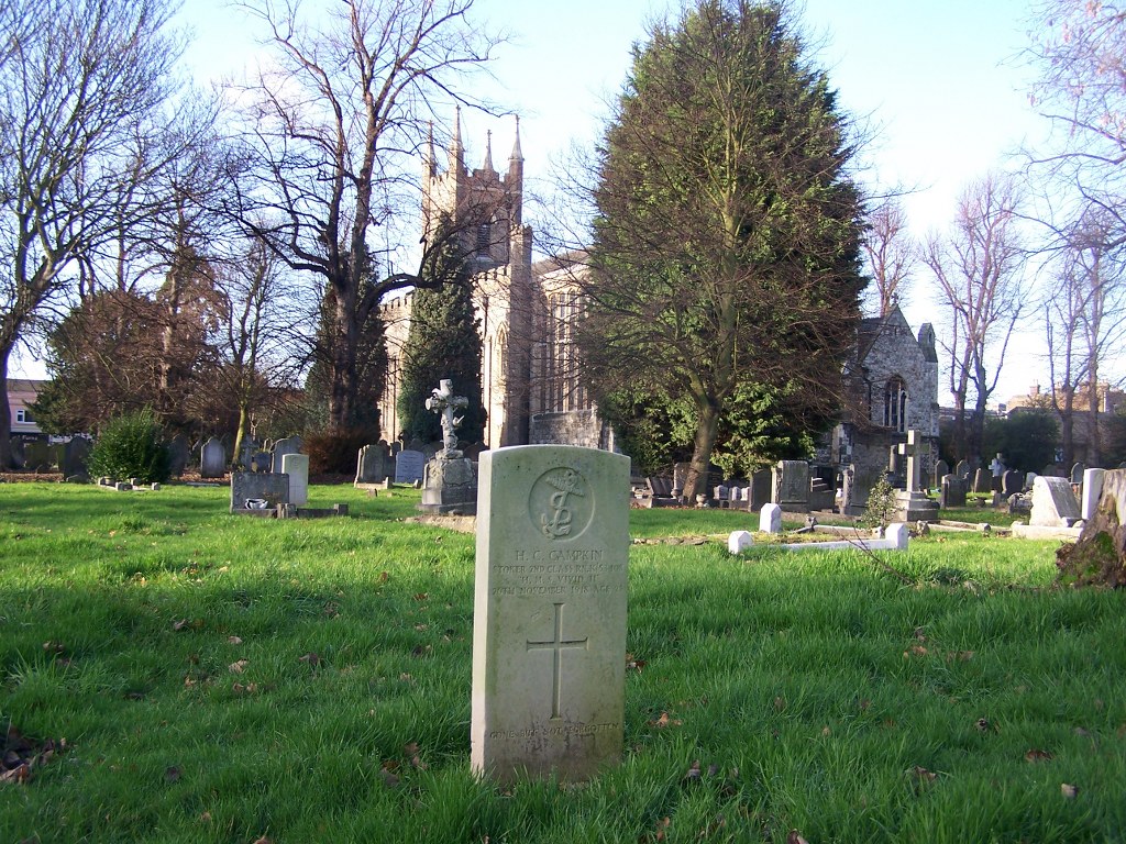
Enfield Highway (St. James) Churchyard
- Country United Kingdom
- Total identified casualties 16 Find these casualties
- Region Middlesex
- Identified casualties from First & Second World War
- GPS Coordinates Latitude: 51.65616, Longitude: -0.04738
Location information
St. James Churchyard, Enfield Highway is located on the Hertford Road (A1010).
History information
Enfield Highway (St. James) Churchyard contains war graves of both world wars. There are 6 burials of the 1914-18 war comprising 2 sailors from the Royal Navy and 4 soldiers from the United Kingdom. The 1939-45 burials number 10, one of which is commemorated by a Special Memorial bearing the superscription 'Known to be buried in this Churchyard.'