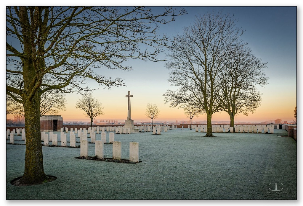
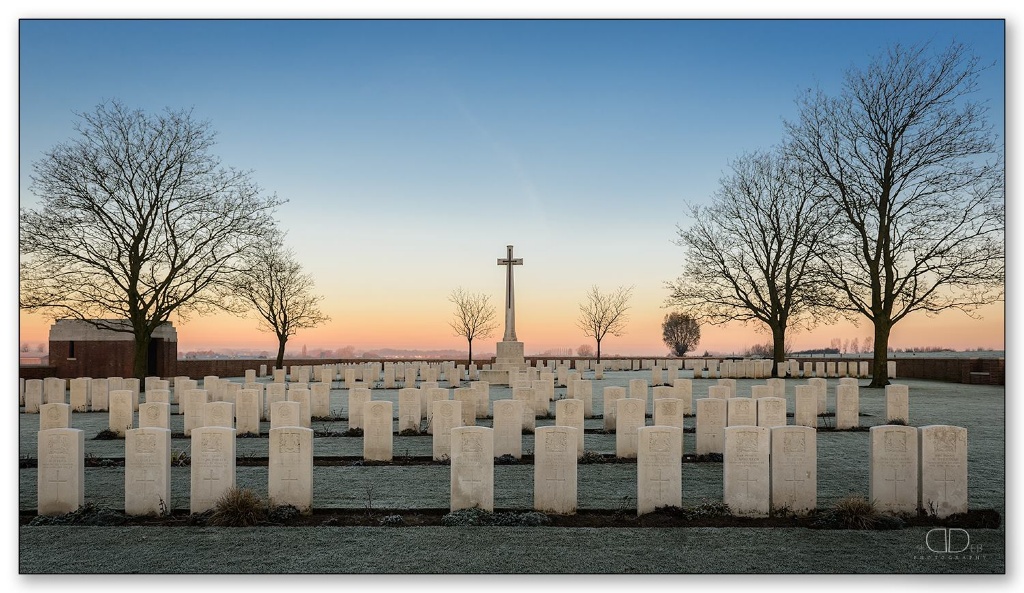
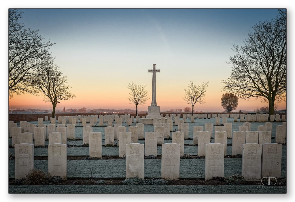
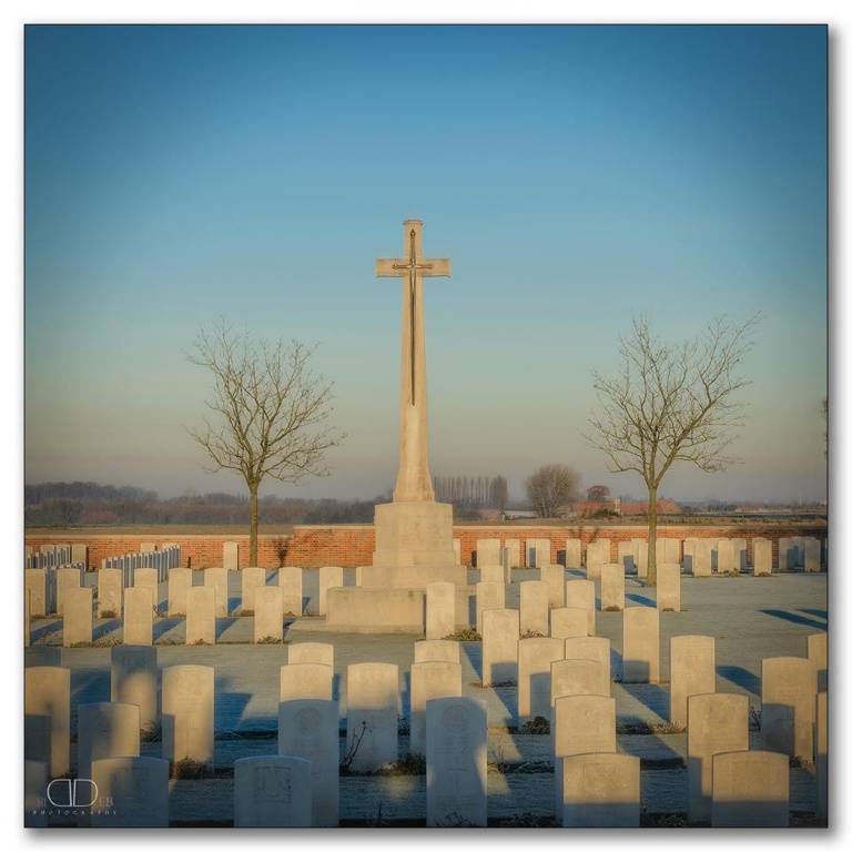
Chester Farm Cemetery
- Country Belgium
- Total identified casualties 416 Find these casualties
- Region West-Vlaanderen
- Identified casualties from First World War
- GPS Coordinates Latitude: 50.82107, Longitude: 2.9015
Location information
Chester Farm Cemetery is located 5 kilometres south of Ieper town centre, on the Vaartstraat, a road leading from the Rijselseweg (N365) connecting Ieper to Armentieres. From Ieper town centre the Rijselseweg is located via the Rijselsestraat, through the Rijselpoort (Lille Gate) and by crossing the Ieper ring road, towards Armentieres and Lille. The road name then changes to Rijselseweg. 3 kilometres along the Rijselseweg lies the left hand turning onto the Vaartstraat. The cemetery is located 1.5 km along the Vaartstraat on the left hand side of the road.
Visiting information
Wheelchair access to cemetery is possible via the main entrance. For further information regarding wheelchair access, please contact our Enquiries Section on 01628 507200.
History information
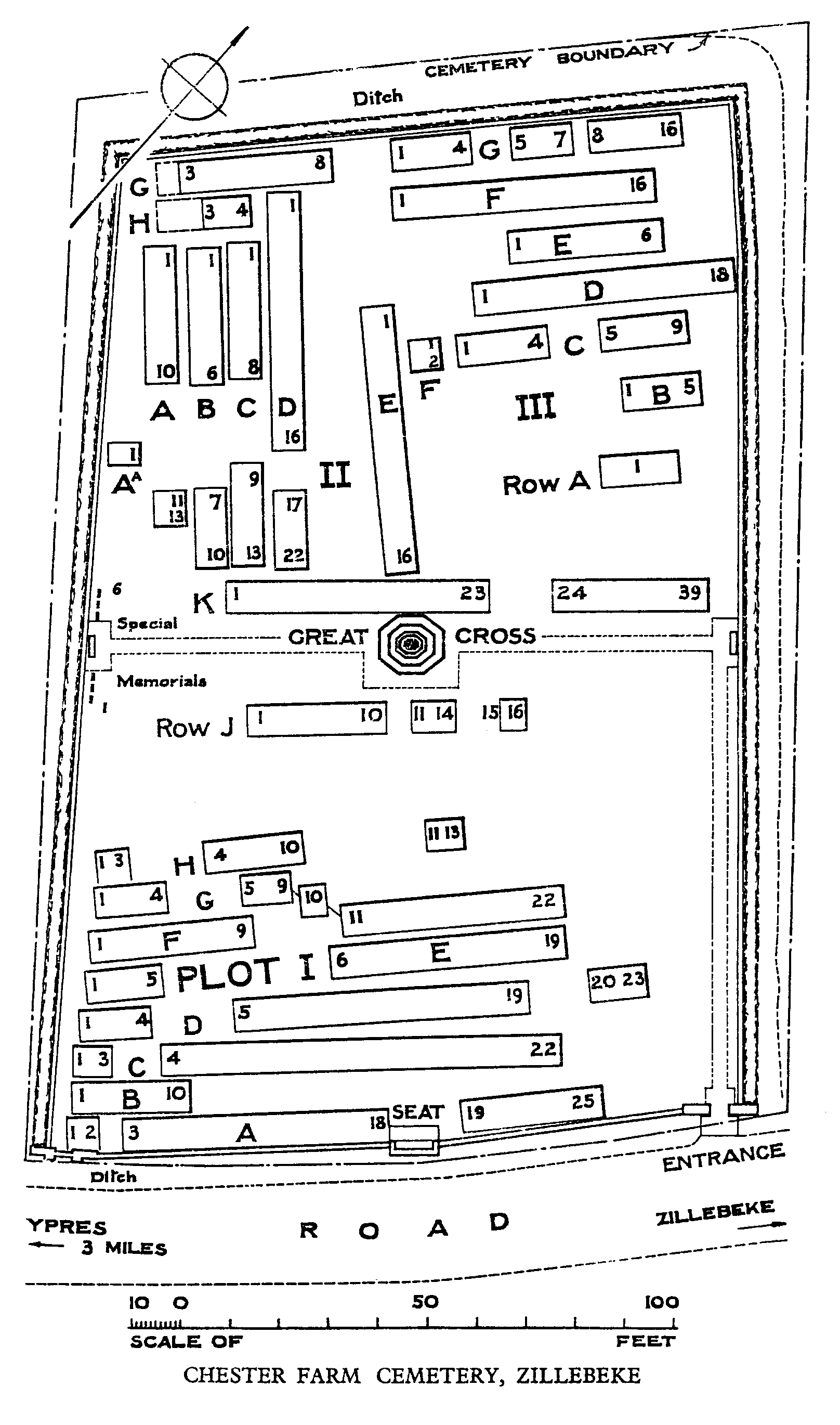
Chester Farm was the name given to a farm about 1 Km South of Blauwepoort Farm, on the road from Zillebeke to Voormezeele. The cemetery was begun in March 1915 and was used by front line troops until November 1917. Plot I contains the graves of 92 officers and men of the 2nd Manchesters, who died in April-July 1915 and there are 72 London Regiment burials elsewhere in the Cemetery.
There are 420 Commonwealth servicemen buried or commemorated in this cemetery. Seven of the burials are unidentified, but special memorials commemorate six casualties known or believed to be buried among them.
The cemetery was designed by Sir Edwin Lutyens.