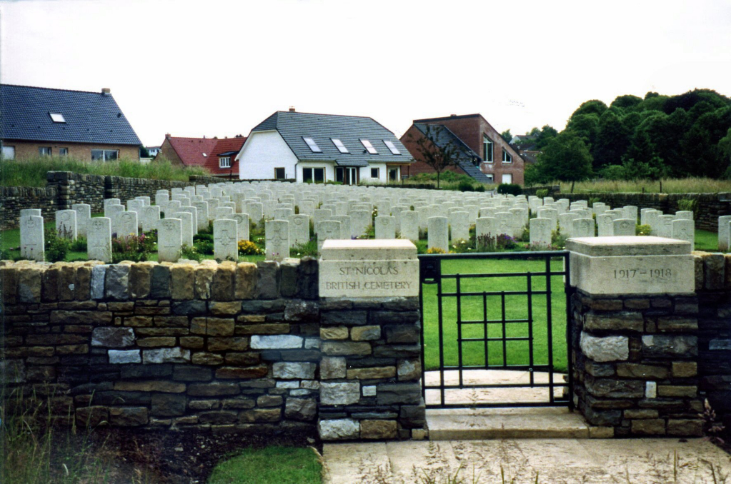
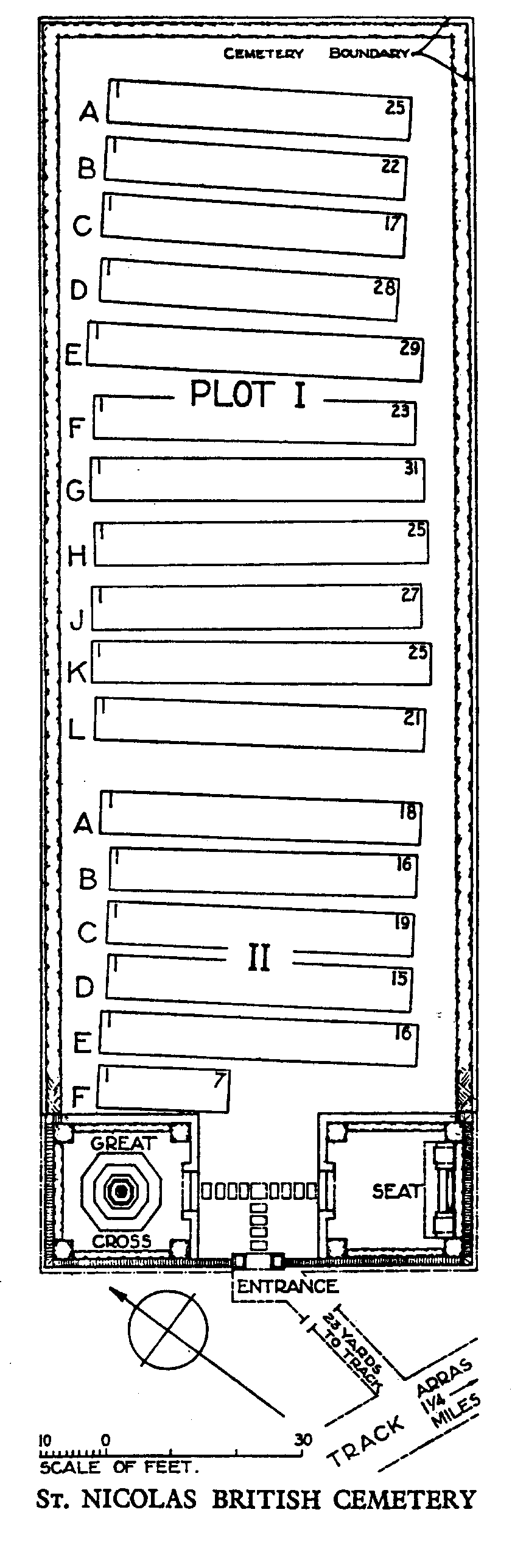
St. Nicolas British Cemetery
- Country France
- Total identified casualties 361 Find these casualties
- Region Pas de Calais
- Identified casualties from First World War
- GPS Coordinates Latitude: 50.30364, Longitude: 2.76993
Location information
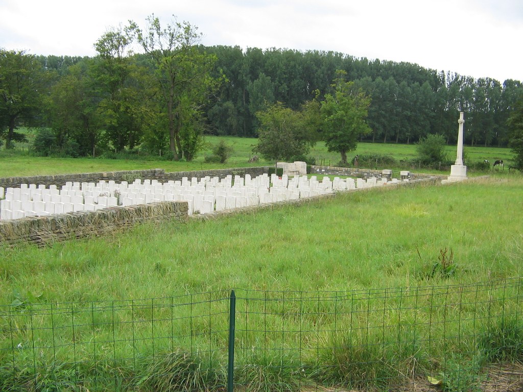
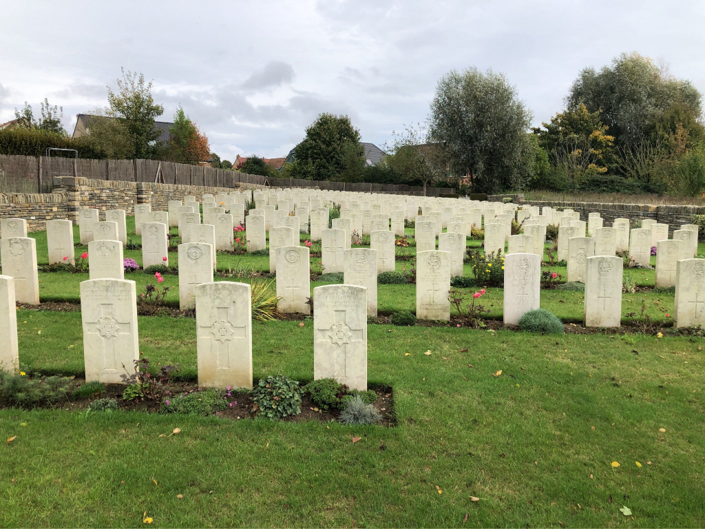
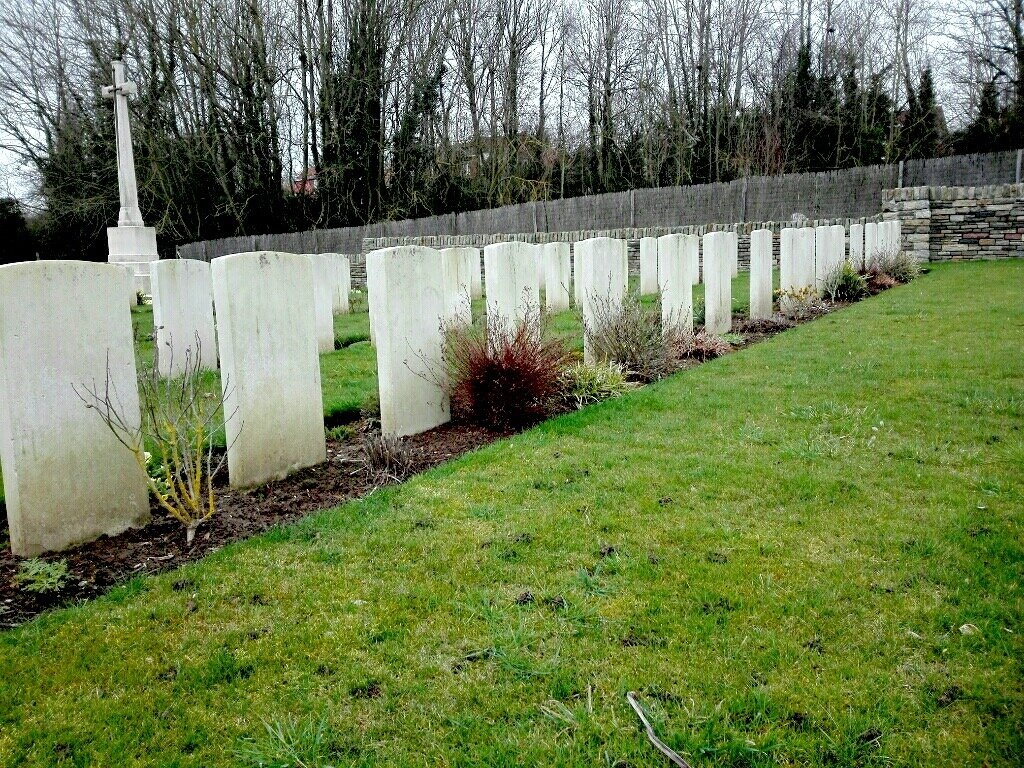
Ste. Catherine and St. Nicolas are villages and districts in the Department of the Pas-de-Calais, adjoining the city of Arras on the north side. Ste. Catherine lying to the west, and St. Nicolas to the east of the N37 road to La Targette and Souchez. St. Nicolas British Cemetery lies along a footpath to the south of the Rue D'Enfer, which joins the road to Roclincourt.
History information
From March 1916 to the Armistice, the village of St. Nicolas was occupied by Commonwealth forces and for much of that time it was within the range of German artillery fire. The cemetery was started in March 1917 and used by the divisions and field ambulances stationed there until October 1918. St Nicolas British Cemetery contains 364 First World War burials. The cemetery was designed by Sir Reginald Blomfield.