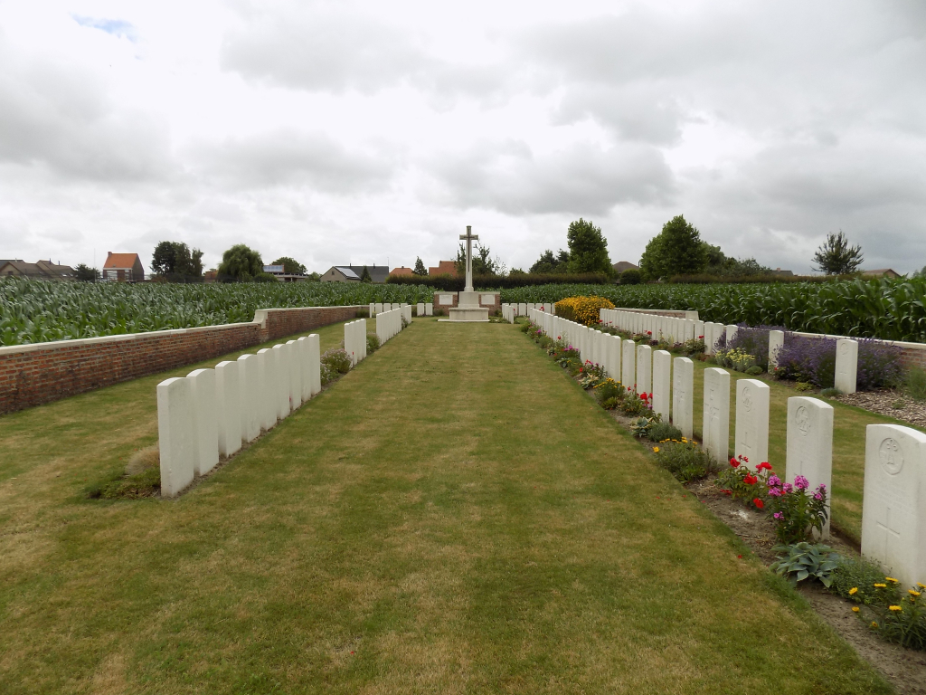
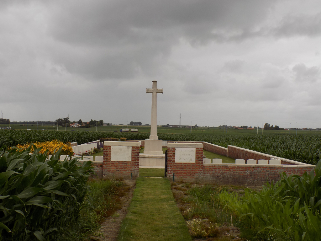
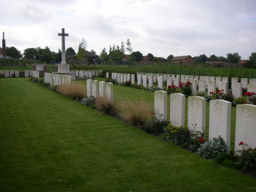
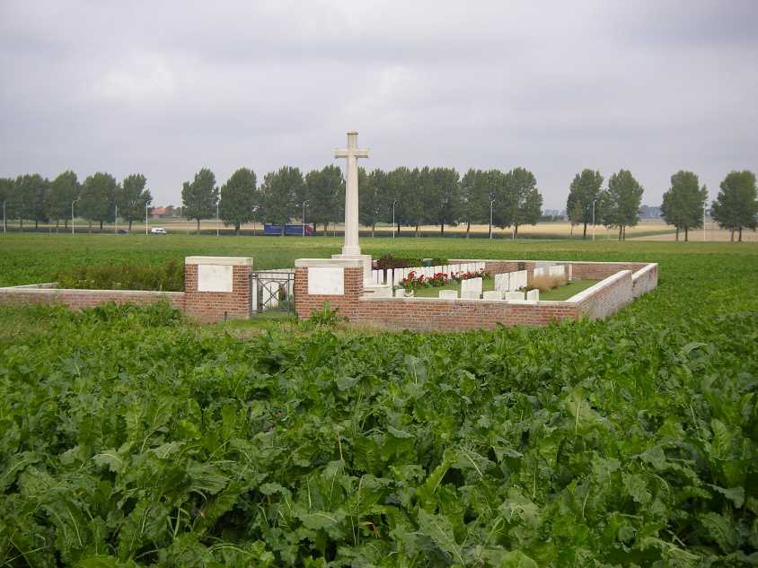
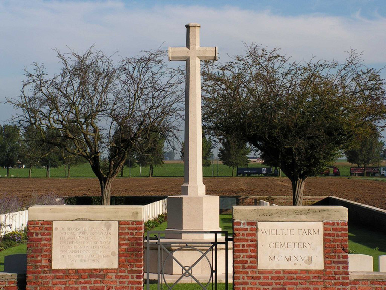
Wieltje Farm Cemetery
- Country Belgium
- Total identified casualties 106 Find these casualties
- Region West-Vlaanderen
- Identified casualties from First World War
- GPS Coordinates Latitude: 50.86879, Longitude: 2.91102
Location information
The cemetery is located to the North-East of the town of Ieper. From Ieper station turn left and drive along M.Fochlaan to the roundabout, turn right and go to the next roundabout. Here turn left into M.Haiglaan and drive to the next roundabout. Here turn right into Oude Veurnestraat, this then changes into Diksmuidseweg and Brugseweg drive along this road to the traffic lights. Straight over the lights to the end of the road. At the T junction turn left (still Brugseweg) and continue along this road through the village of Sint Jan. The cemetery is on the left hand side of the road approx 200 metres after the village.
Visiting information
Wheelchair access with some difficulty.
For further information regarding wheelchair access, please contact our Enquiries Department on telephone number: 01628 634221
History information
Wieltje Farm Cemetery was made and used by fighting units (in particular by the 2nd/4th Gloucesters) in July-October 1917.
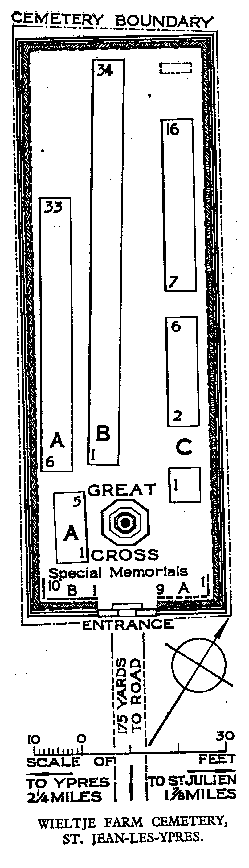
There are now 115 Commonwealth servicemen of the First World War buried or commemorated in this cemetery. 10 of the burials are unidentified and there are special memorials to 20 casualties whose graves were destroyed by shell fire. There is also one German war grave.
The cemetery was designed by A J S Hutton.