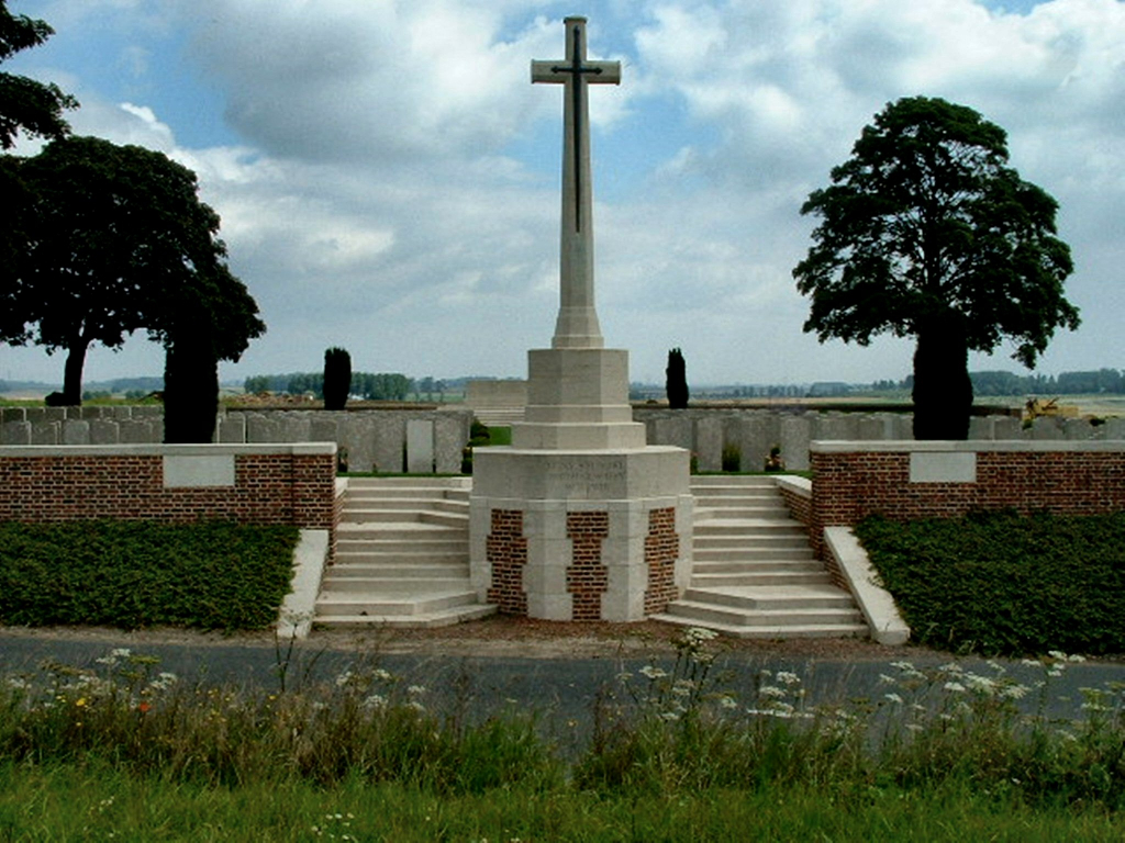
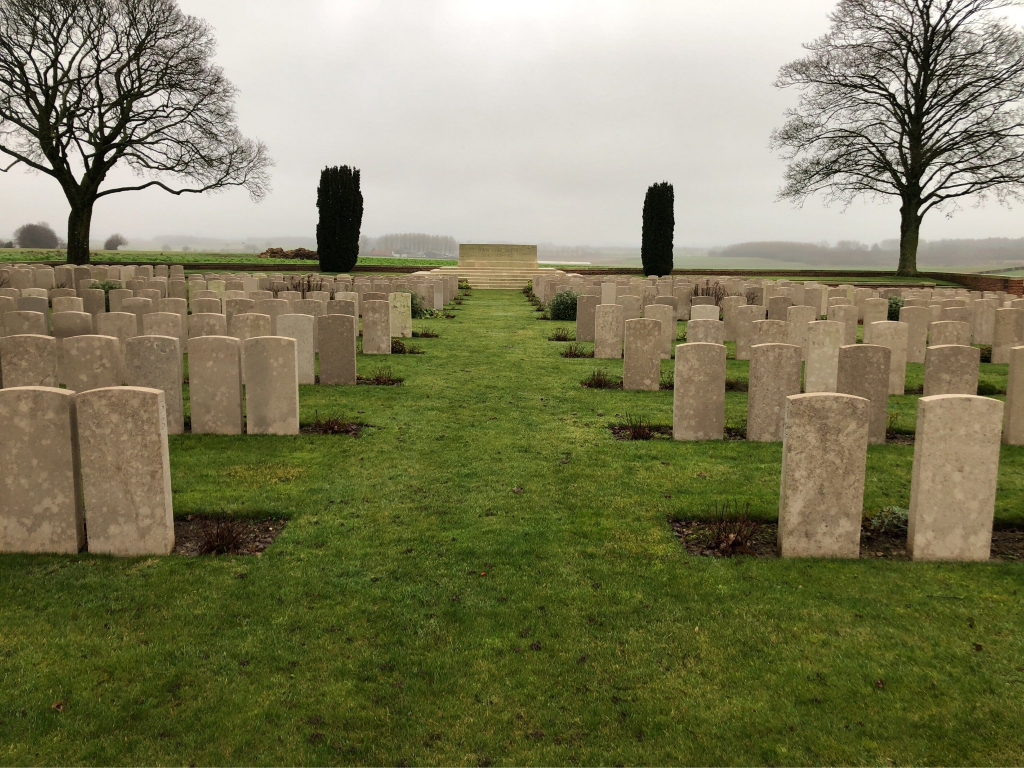
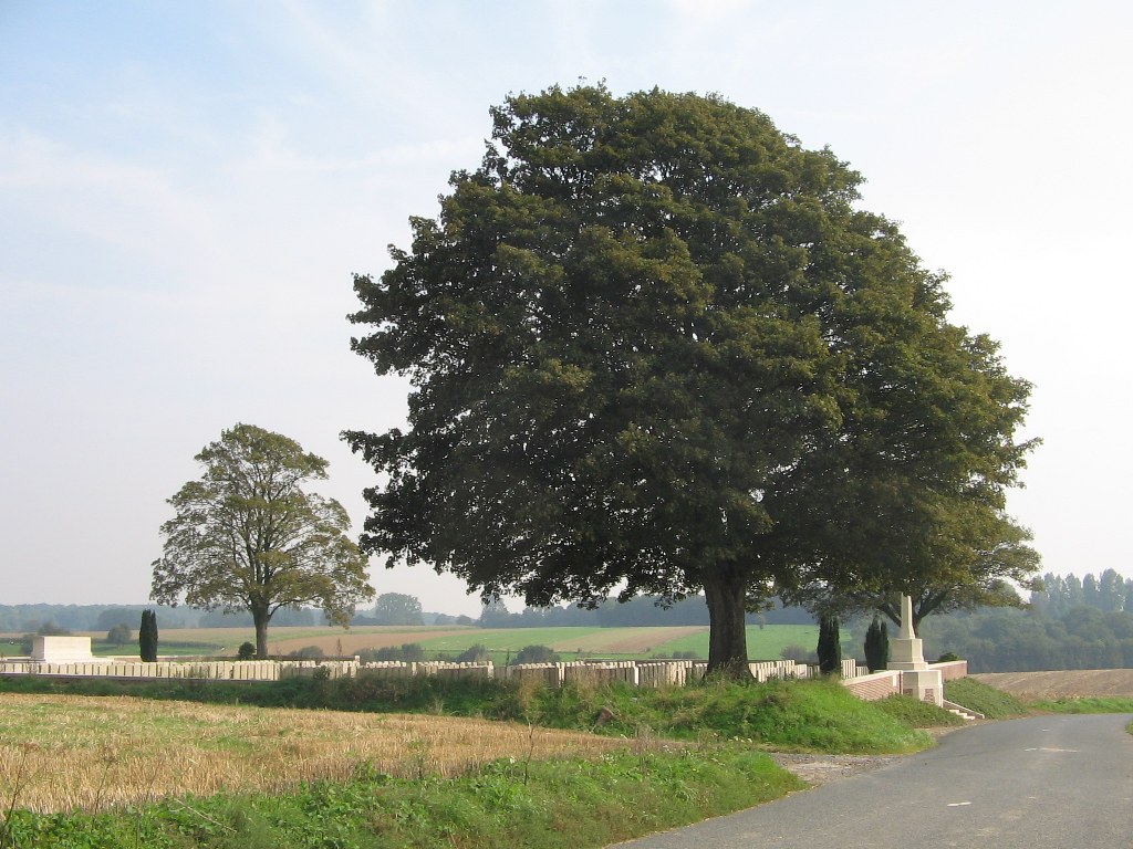
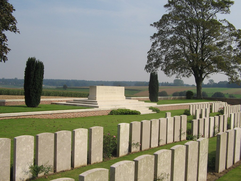
Ligny-St. Flochel British Cemetery, Averdoingt
- Country France
- Total identified casualties 682 Find these casualties
- Region Pas de Calais
- Identified casualties from First World War
- GPS Coordinates Latitude: 50.35294, Longitude: 2.43277

Location information
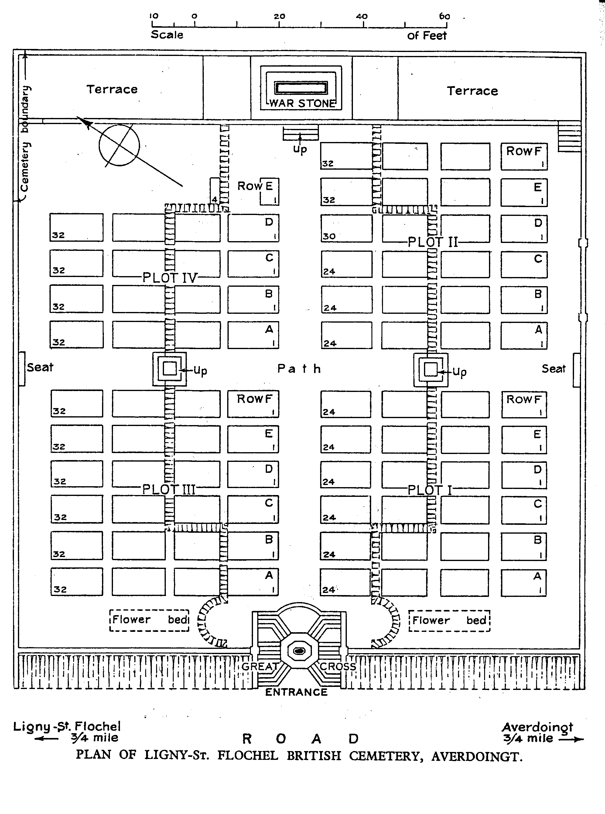
Ligny-St.Flochel is a village about 6.5 kilometres east of St.Pol off the main road to Arras, approximately 24 kilometres from Arras. Ligny-St. Flochel British Cemetery is south of the village on the east side of the road (D81) to the village of Averdoingt.
Visiting information
Wheelchair access to the cemetery is possible with some difficulty. For further information regarding wheelchair access, please contact our Enquiries Section on 01628 507200.
History information
The cemetery was started at the beginning of April 1918 when the 7th Casualty Clearing Station came back from Tincques ahead of the German advance. At the end of May the 33rd Casualty Clearing Station arrived from Aire and in August, No.1 Casualty Clearing Station from Pernes. All three stations had left Ligny-St Flochel by November 1918. There are now 632 Commonwealth burials of the First World War in this cemetery and a further 46 German war graves. The cemetery was designed by Sir Reginald Blomfield.