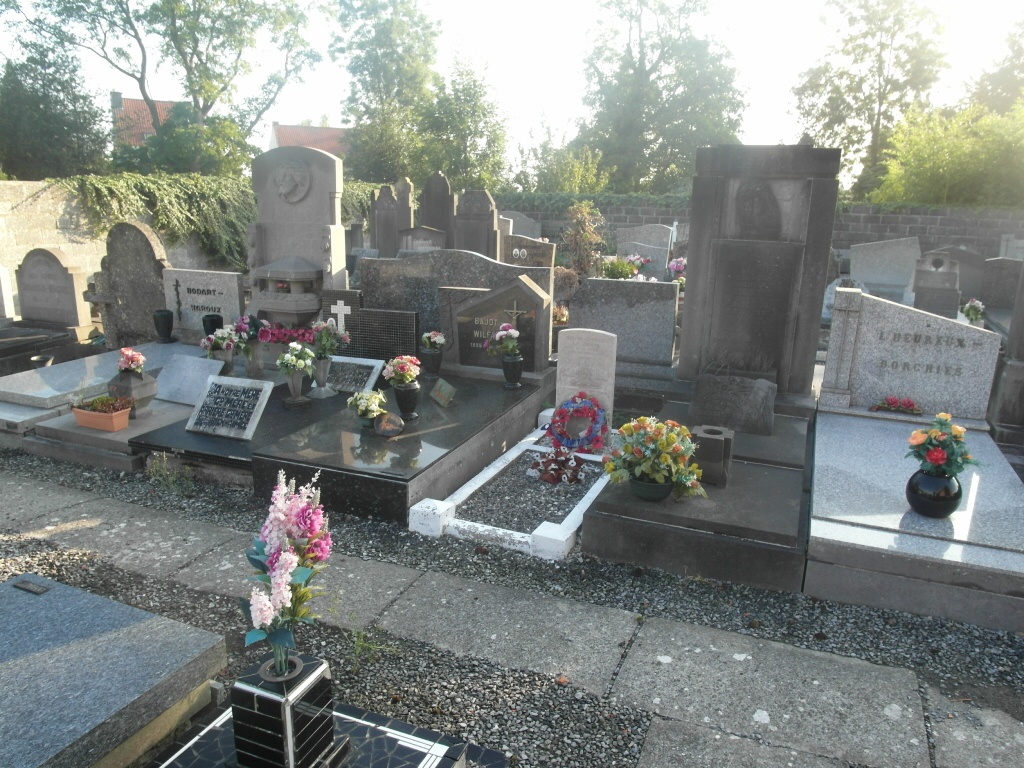
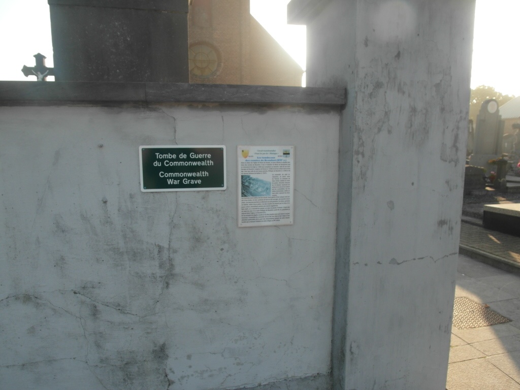
Rumes Churchyard
- Country Belgium
- Total identified casualties 1 Find these casualties
- Region Hainaut
- Identified casualties from First World War
- GPS Coordinates Latitude: 50.55572, Longitude: 3.30416
Location information
The village of Rumes is located south-east of Tournai off the N508. From the E42 motorway turn off at junction 35 and onto the N7 direction Lille. Follow the N7 to the first junction and turn left along Rue Rene Le Febvre direction Esplechin. Follow under the motorway and through the villages of Lamain and Esplechin to Rumes. On entering the village of Rumes the church is in the centre on the left. The grave is located to the rear of the church.
History information
Rumes Churchyard contains one Commonwealth burial of the First World War.