Templeuve Communal Cemetery, Tournai
- Country Belgium
- Total identified casualties 26 Find these casualties
- Region Hainaut
- Identified casualties from First & Second World War
- GPS Coordinates Latitude: 50.64216, Longitude: 3.28801
Location information
Templeuve Communal Cemetry is located 13 km west of Tournai on the N509 which connects Tournai to Templeuve. From Tournai the N509 leaves Tournai via the Rue Saint Eleuthere, a road leading from the R52 Tournai ring road in the north west portion of the ring road between the N7 and N50 junctions. The N509 is a continuous road to the village of Templeuve. On reaching the village the cemetery is located on La Chapelle which is the first left hand turning from the N509 in the village itself.
Visiting information
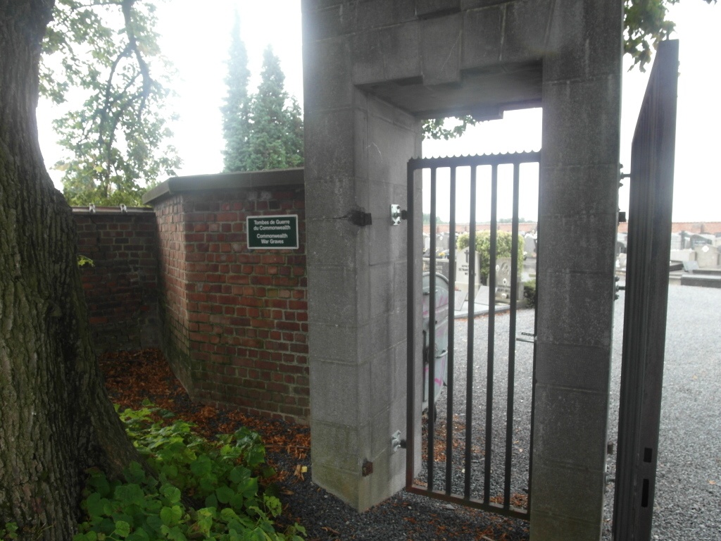
Visitors should note that this site is restricted to normal cemetery opening hours.
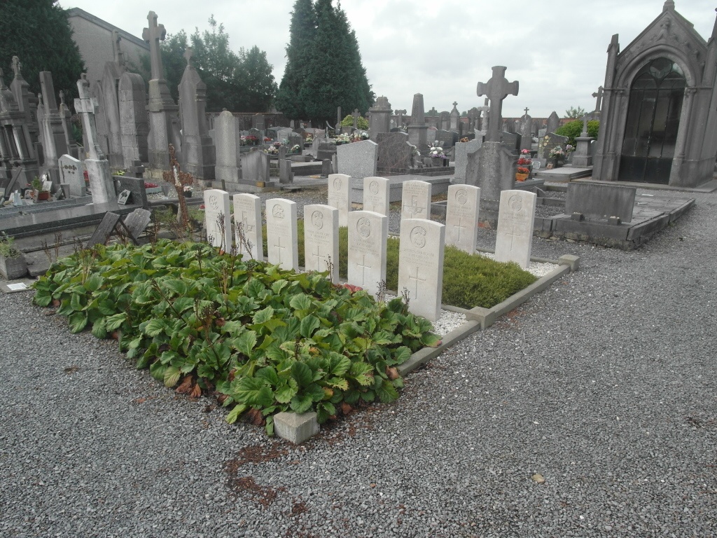
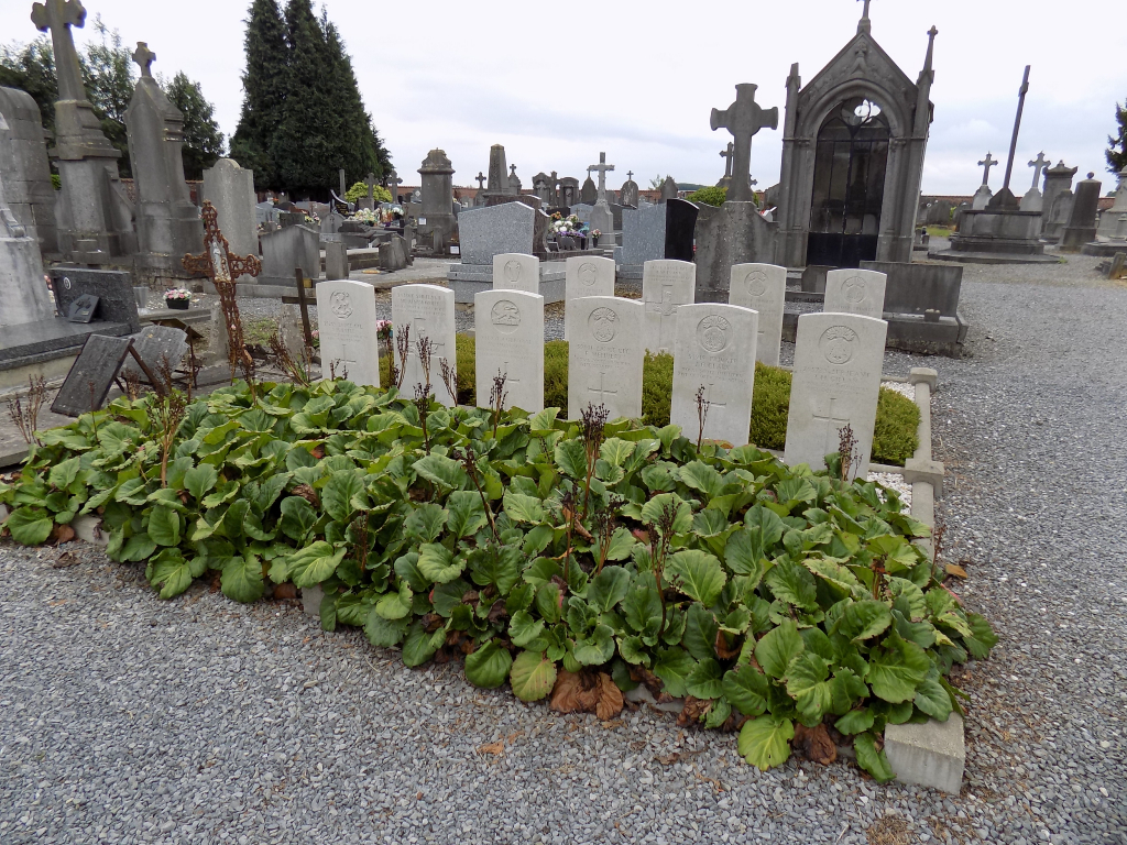
One plot is a little South-East of the middle of the cemetery, and the other plot is against the North-West wall.
Wheelchair Access is possible via main entrance. For further information regarding wheelchair access, please contact our Enquiries Section on enquiries@cwgc.org or 01628 507200.
History information
The British Expeditionary Force was involved in the later stages of the defence of Belgium following the German invasion in May 1940, and suffered many casualties in covering the withdrawal to Dunkirk.
Templeuve Communal Cemetery contains 13 Commonwealth burials of the Second World War. Nearby are ten First World War graves, all made durign October and November 1918 and the Advance to Victory.