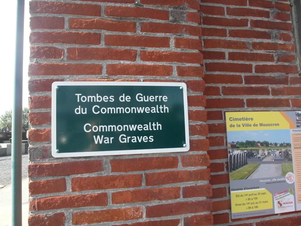
Mouscron (Moeskroen) Communal Cemetery
- Country Belgium
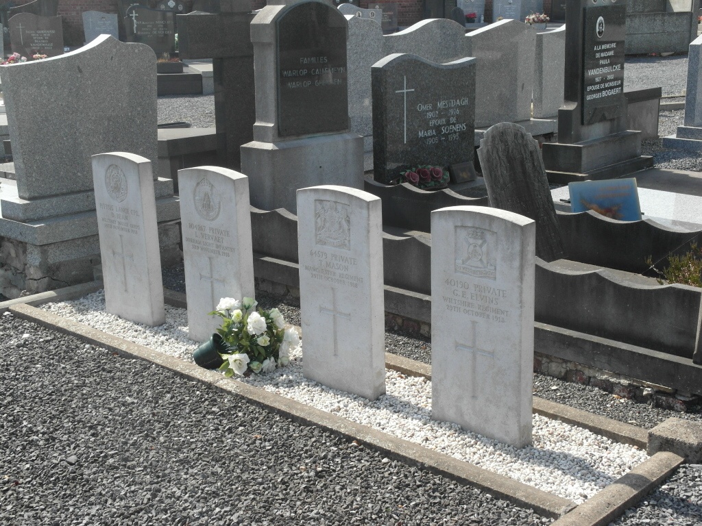
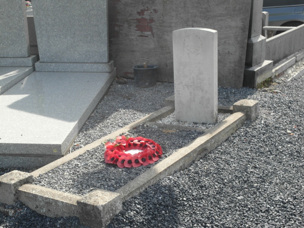
- Total identified casualties 6 Find these casualties
- Region Hainaut
- Identified casualties from First & Second World War
- GPS Coordinates Latitude: 50.75024, Longitude: 3.2076
Location information
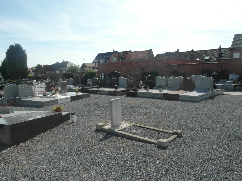
The town of Mouscron (Moeskroen) is located south of the town of Kortrijk on the N58. From the motorway A17 turn onto the motorway E17, direction Lille. Turn off this motorway at junction 1 onto the N58, direction Dottignies. At the first junction turn off onto the N43, direction Lille, then first left into rue de Menin. Follow this road and the cemetery is along on the right. The graves are in various locations in this cemetery.
History information
Mouscron Communal Cemetery contains five Commonwealth burials of the First World War and one from the Second World War.